BigWeather's Blog

July 11, 2017

Mackinac (Pronounced Mack-in-aww)

Filed under: Travel — Tags: — BigWeather @ 11:59 pm

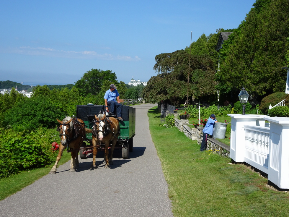
As we do on vacation, we woke up pretty early.  All but Addison headed down for the included continental breakfast.  It was OK, decent cheese bread and coffee.  At 10a we checked out of our room.  As the ferry wasn’t until 2p we had time to explore.  The ladies went shopping while Addison and I climbed up the hill (via steep steps then along paved carriage roads past some nice homes perched above the bustle of Main Street) to Arch Rock.  Along the way we saw a horse-drawn cart collecting garbage.  I guess if you wanted mechanized service you’d have to light it on fire!

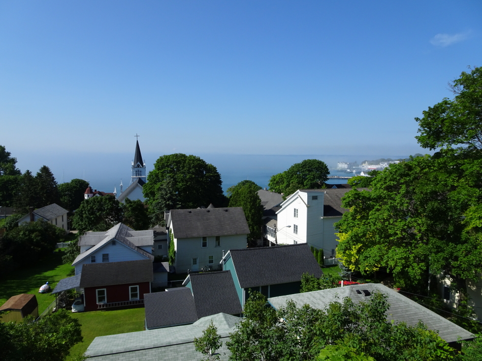
View of Mackinac Island's village from a nearby hill

View of Mackinac Island’s village from a nearby hill

A garbage... truck?

A garbage… truck?

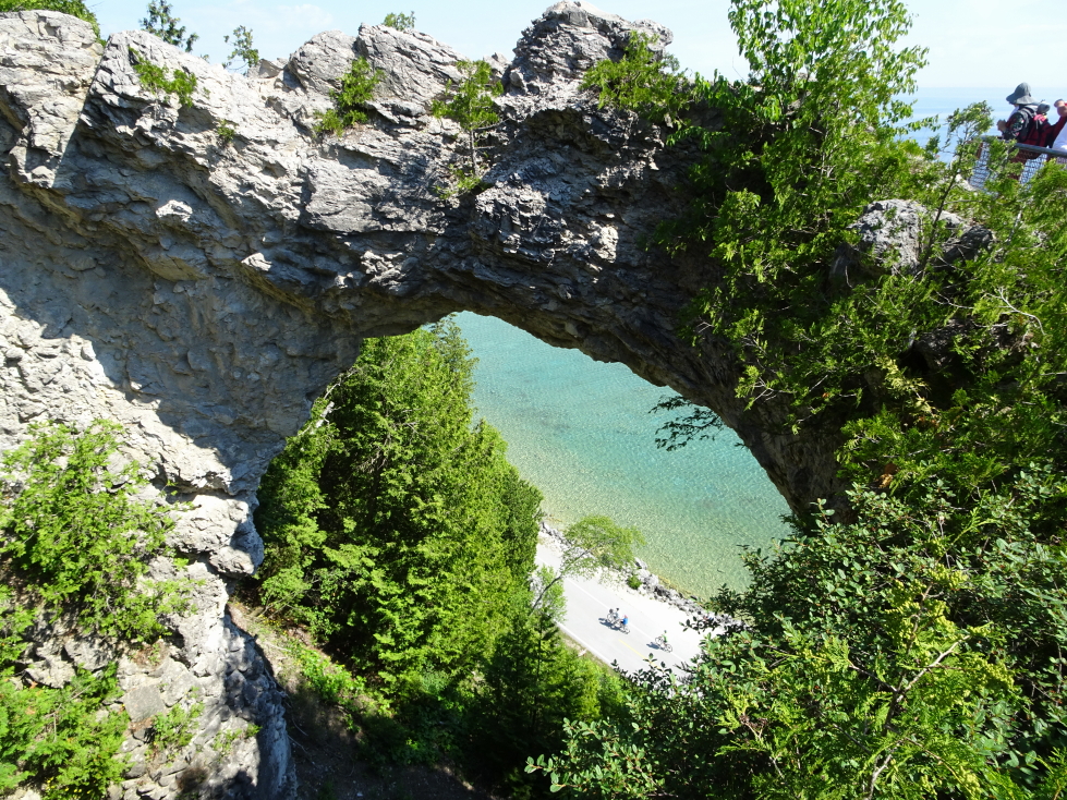
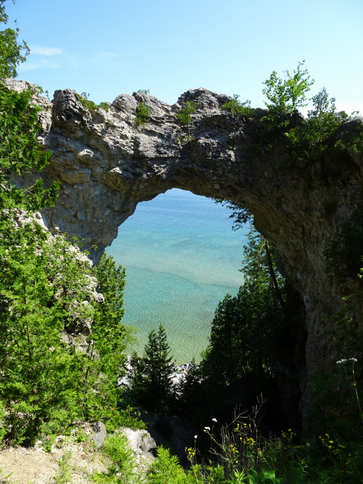
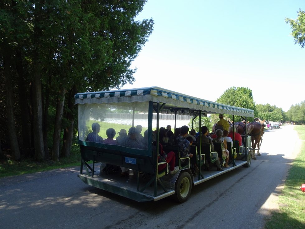
Arch Rock was quite busy with multiple tour “buses” pulled by teams of three large horses stopping every few minutes.  We encountered a rude family, a deaf tour group, and even some Shakers (or Quakers).  Despite the crowds it was worth a visit, not only for the pretty walk and the peaceful woods but for the arch itself with the spectacular blue green water beneath.

Looking through Arch Rock at cyclists on the beach below

Looking through Arch Rock at cyclists on the beach below

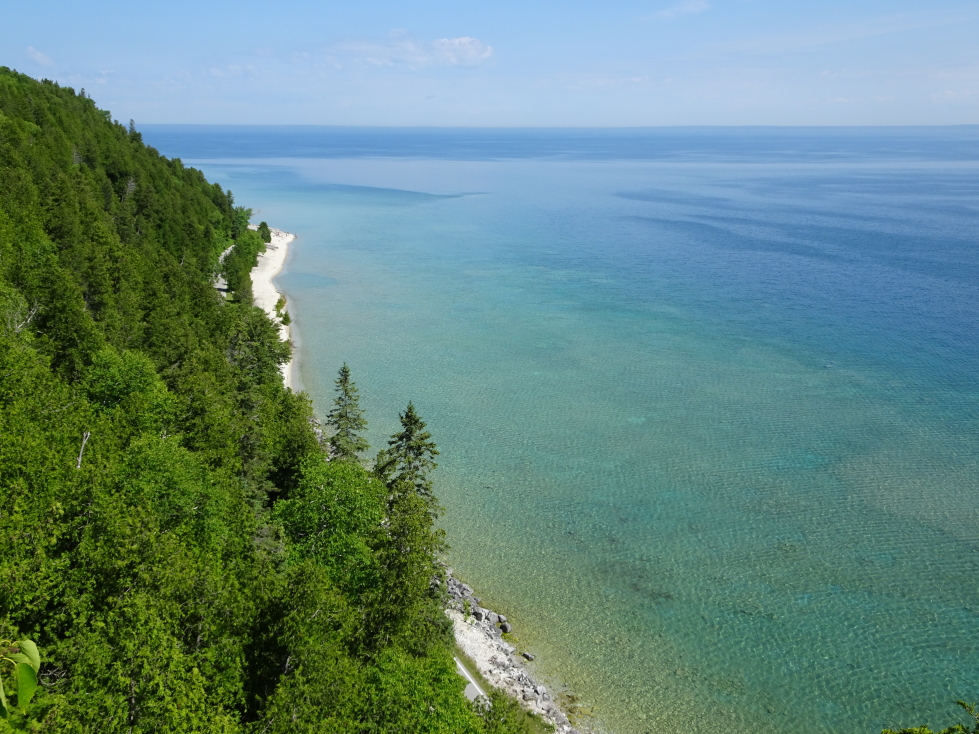
I was shocked at how clear the waters of Lake Huron were

I was shocked at how clear the waters of Lake Huron were

Another look at Arch Rock

Another look at Arch Rock

Tour "buses" drawn by teams of three horses

Tour “buses” drawn by teams of three horses

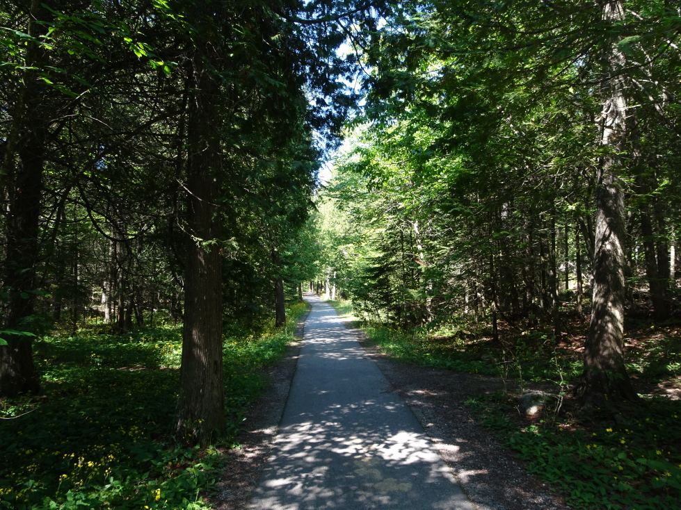
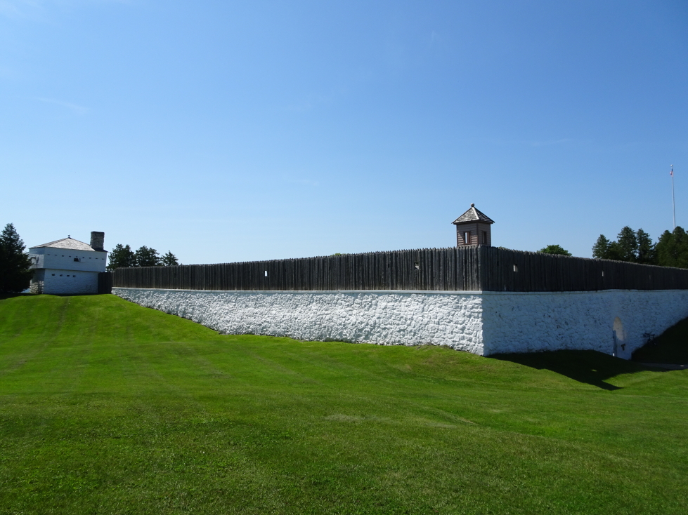
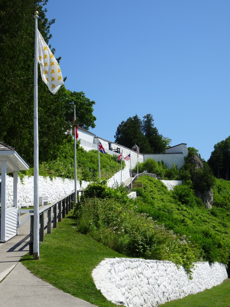
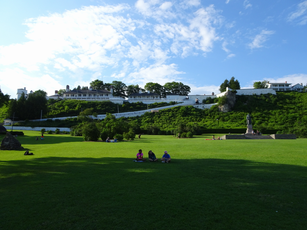
We then walked along a bike path to Fort Mackinac.  As we were short on time we didn’t pay to go in but rather took pictures of the distant bridge and enjoyed the lawn of the Captain’s house.  We also saw a “pill box”, a tower with a canon sticking out of a window attached to the fort.

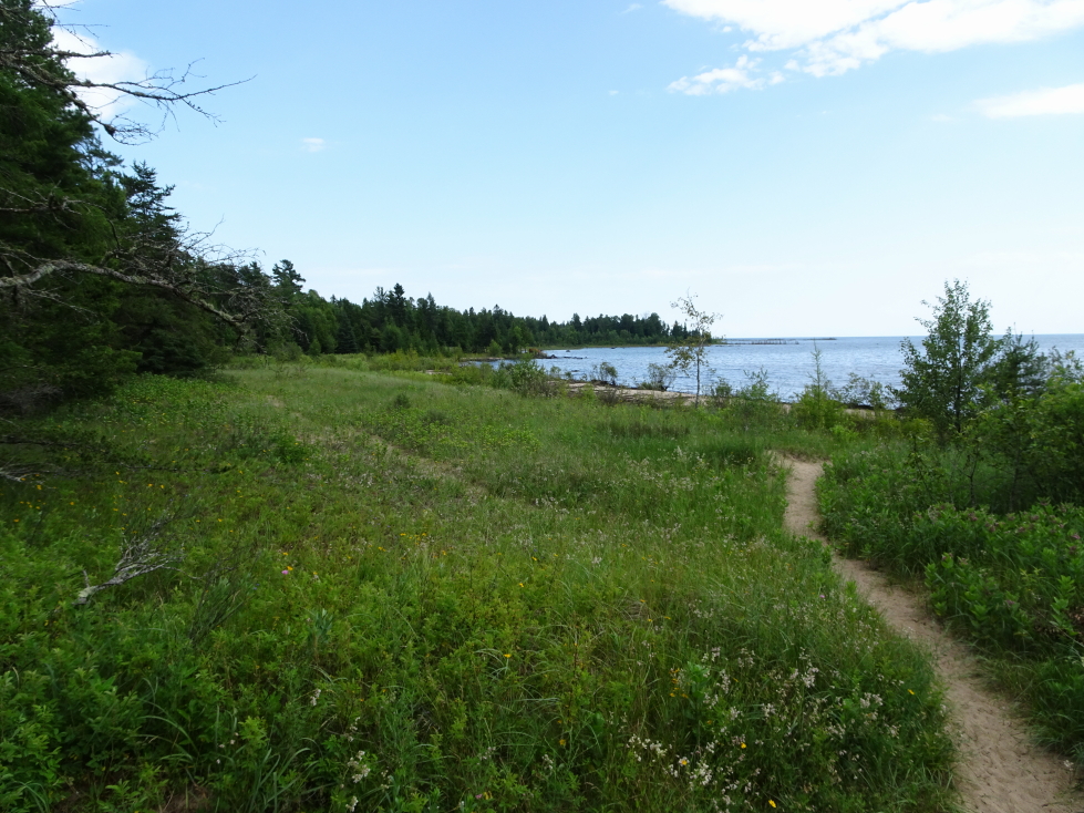
Bicycle path on Mackinac Island

Bicycle path on Mackinac Island

Fort Mackinac, built in 1781 by the British

Fort Mackinac, built in 1781 by the British

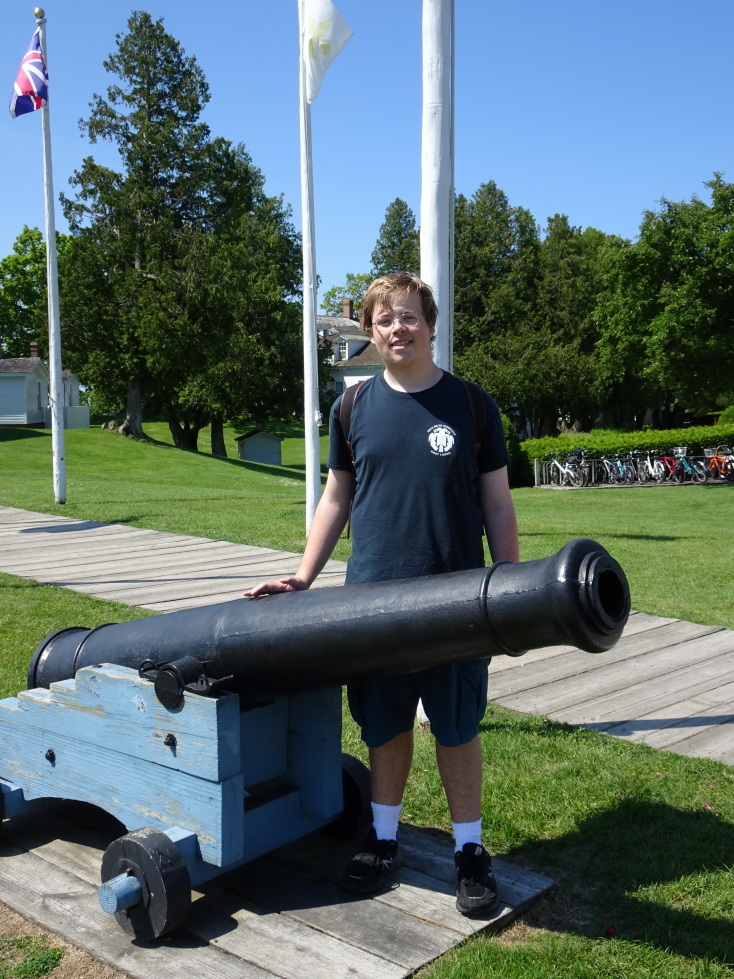
Addison next to one of the fort's cannon

Addison next to one of the fort’s cannon

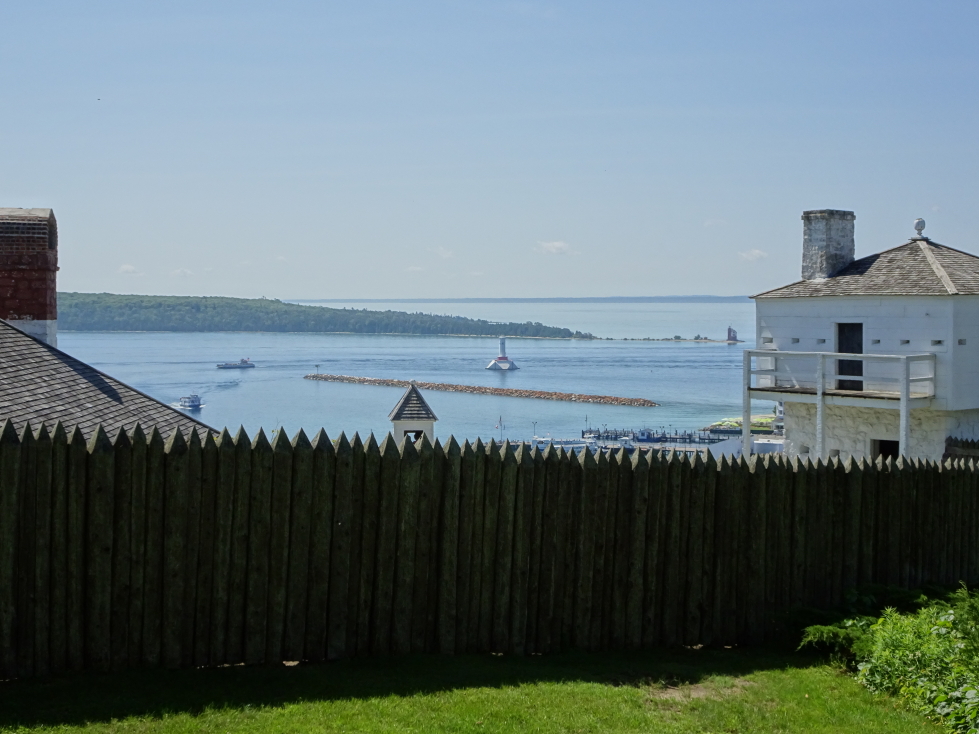
View of Mackinac harbor beyond the fort's palisade

View of Mackinac harbor beyond the fort’s palisade

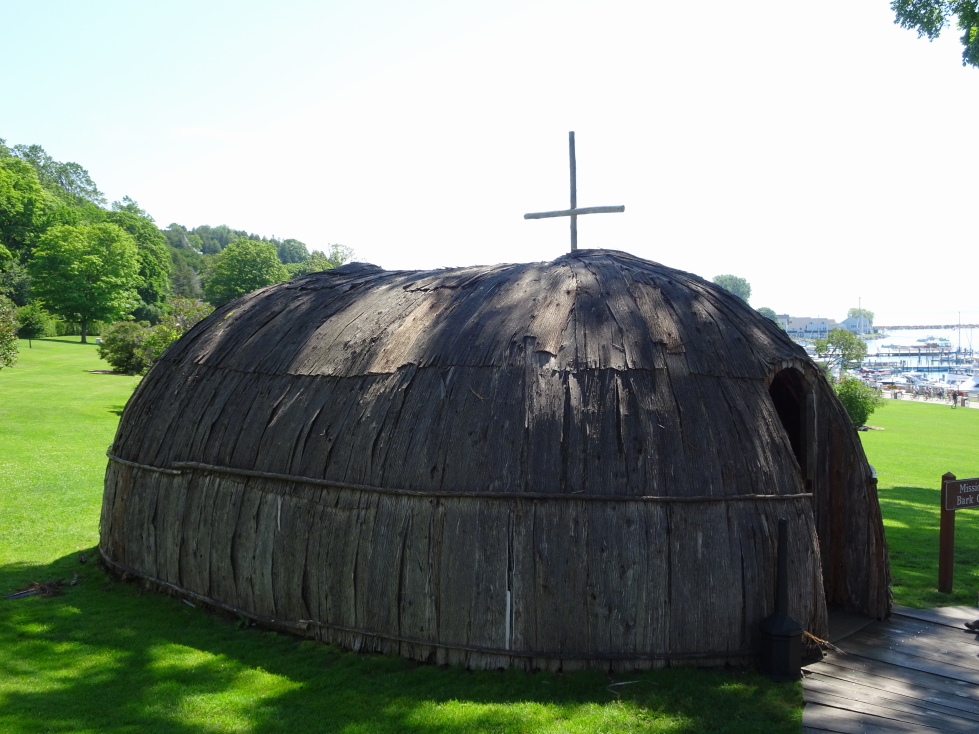
We then walked down the hill via a ramp into town, passing a bark missionary church like what Jacques Marquette used in the late 1600s.  We also saw a Fur Company store that was run by this fellow that got accidentally shot but survived with a hole that looked into his stomach.  For decades after he used it to record digestion times, gastric acid amounts, etc.  Ick!

Reconstruction of a missionary church built from bark like those from the late 1600s

Reconstruction of a missionary church built from bark like those from the late 1600s

Ramp from Fort Mackinac back to town

Ramp from Fort Mackinac back to town

Shortly thereafter we met the ladies for lunch.  We rejected Island Slice Pizza and Mighty Mac Hamburgers because they were too crowded and ended up at Huron Street Pub & Grill.  It ended up being a fantastic choice — fast service and great food.  We had an appetizer of onion rings then Michelle had a burger, Addison had a Porky’s Burger with beef, brisket, pulled pork, cheddar and Swiss cheese, and onion rings (!), I had a beef brisket sandwich with fried onion straws and cheese with fries.  I can’t recall what Genetta had, sorry.  Afterwards the kids went through a haunted house attraction.  Addison smartly kept Genetta in front but the denizens tricked him and scared him from behind, greatly spooking him!

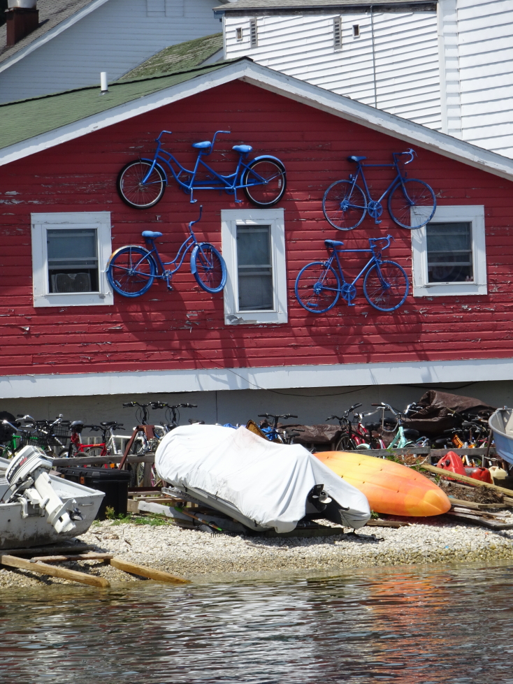
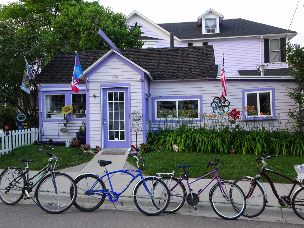
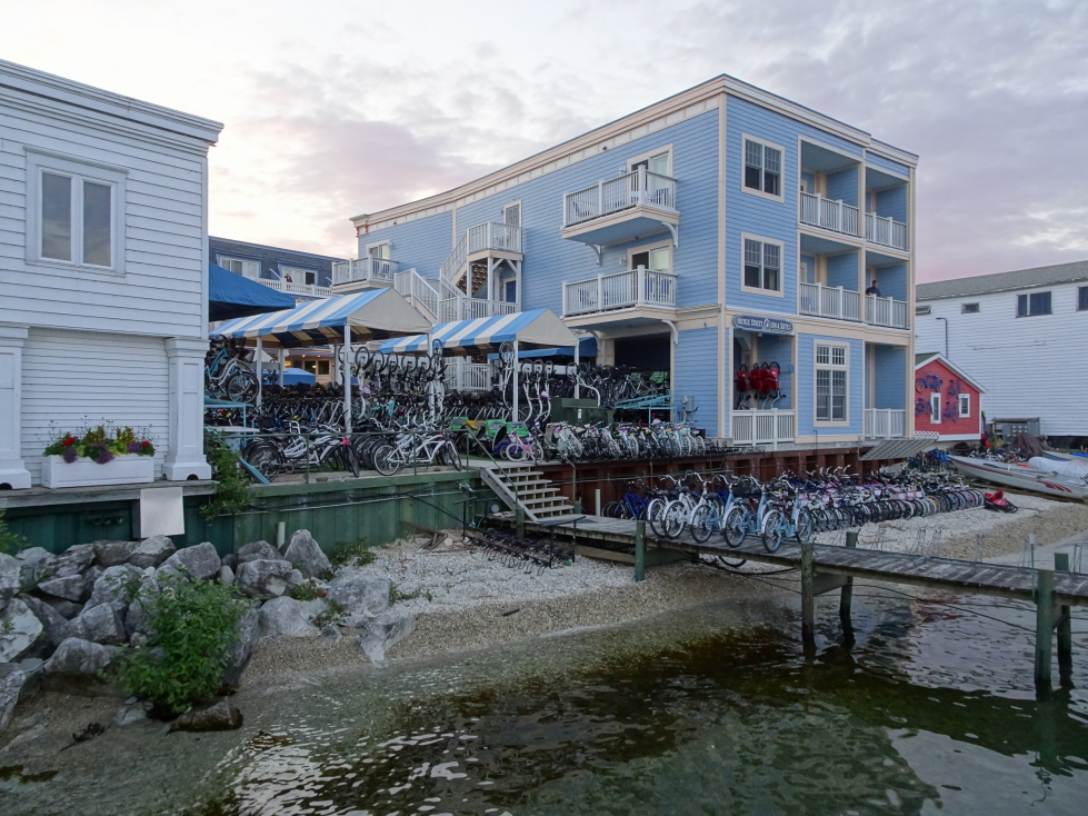
Neat building using bikes as exterior decor

Neat building using bikes as exterior decor

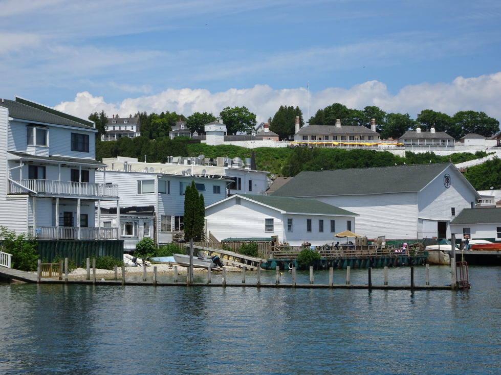
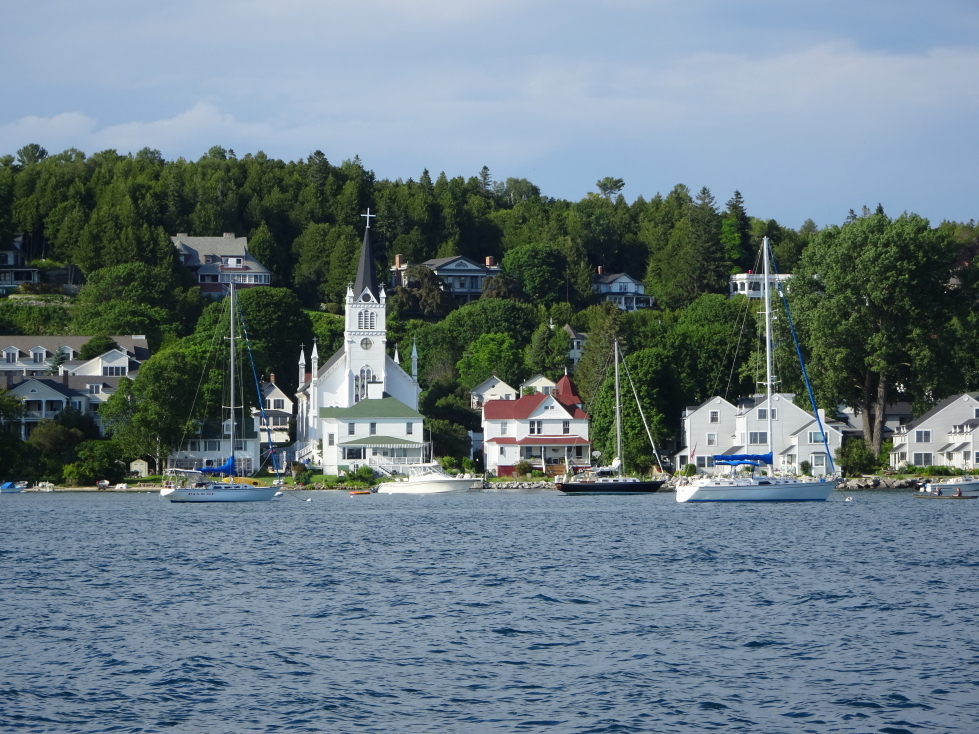
Mackinac Island's waterfront

Mackinac Island’s waterfront

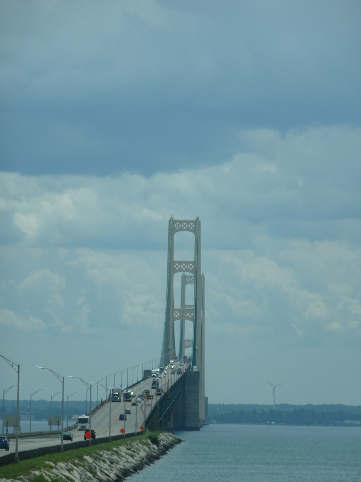
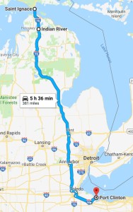
We changed the ferry to 1:30p from 2p so we could get a start on our ride to Ohio.  We were back on the mainland by 2p, went over the engineering marvel Mackinac Bridge, and traveled down I-75.  We stopped by McDonald’s for some tea and got some snacks in the northern Lower Peninsula where we saw tubers floating down the Indian River.  Just outside of Detroit we stopped for On the Border but it was a forty minute wait so we ate at Chili’s instead.  Big mistake, it wasn’t great at all.  We had the skillet queso appetizer, Michelle had chicken bites and salad, Genetta fried chicken tenders and fries and corn, Addison and I had steak nachos.

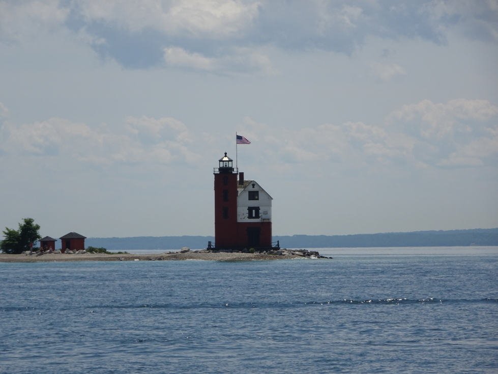
Round Island Light near Mackinac Island

Round Island Light near Mackinac Island

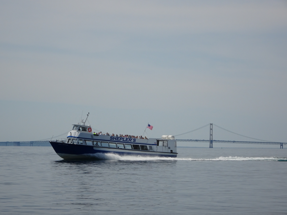
Sheplers Ferry cruising past Mackinac Bridge

Sheplers Ferry cruising past Mackinac Bridge

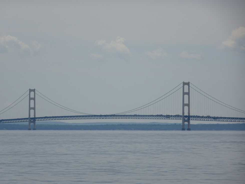
Mackinac Bridge

Mackinac Bridge

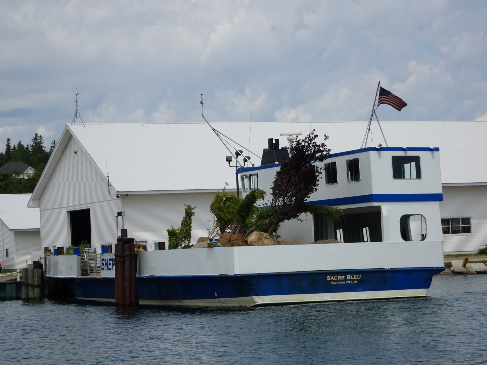
Most things are brought by ferry to the island, even these trees awaiting delivery

Most things are brought by ferry to the island, even these trees awaiting delivery

Approach to Mackinac Bridge from the UP

Approach to Mackinac Bridge from the UP

We arrived in Sandusky, Ohio just before 10p.  I shaved and ordered our Cedar Point tickets then blogged and hit bed at 1a.

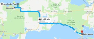
Route for Tuesday, July 11th, 2017

Route for Tuesday, July 11th, 2017

July 10, 2017

Free Boat Ride

Filed under: Travel — Tags: — BigWeather @ 11:59 pm

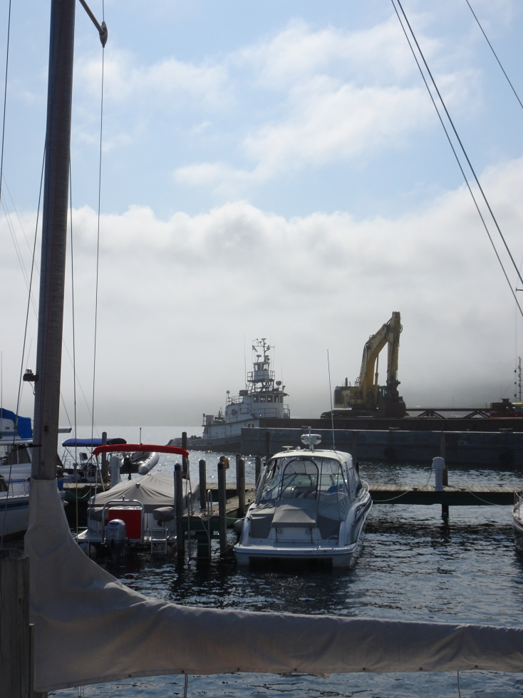
We woke up at 8a and ate a quick Holiday Inn Express breakfast after enjoying the nice view from the patio.  As we were eating we noticed a thick bank of fog rolling in.  Uh oh.  We got to the docks for our Pictured Rocks cruise at 10:30a and, after a quick stop at the bathroom and gift shop, queued up at 10:45a.  They were quite efficient in boarding as by 11a we were on the boat and the boat had already left the dock.

View of Lake Superior from our hotel

View of Lake Superior from our hotel

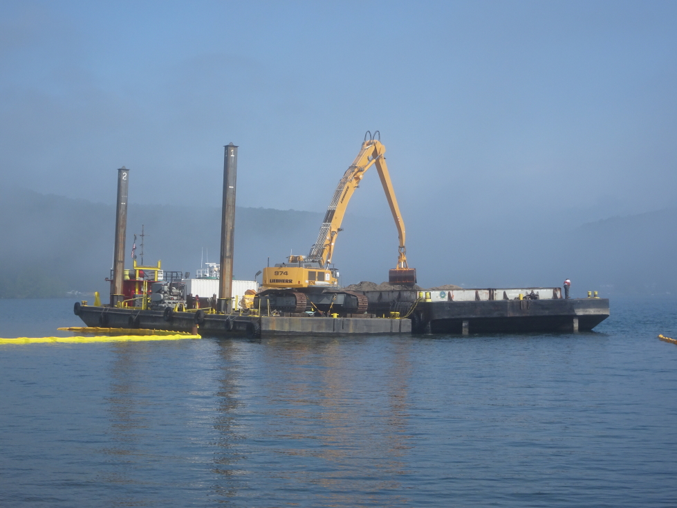
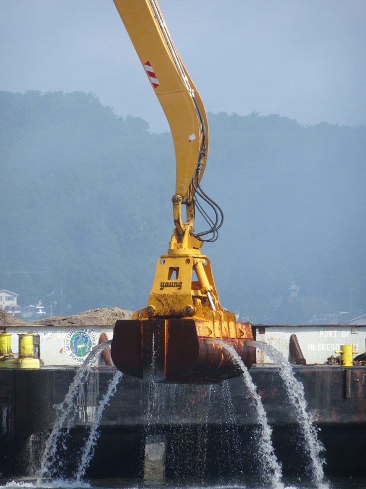
What skill to operate a backhoe on a barge!

What skill to operate a backhoe on a barge!

Young brand dredging!

Young brand dredging!

Sailboats in Munising harbor with fog rolling in

Sailboats in Munising harbor with fog rolling in

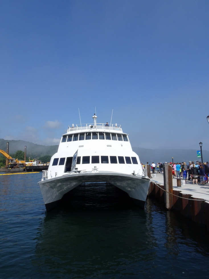
Our sightseeing boat to Pictured Rocks National Lakeshore

Our sightseeing boat to Pictured Rocks National Lakeshore

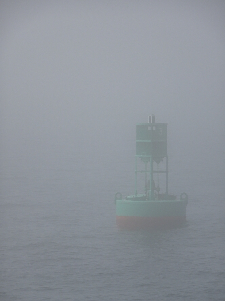
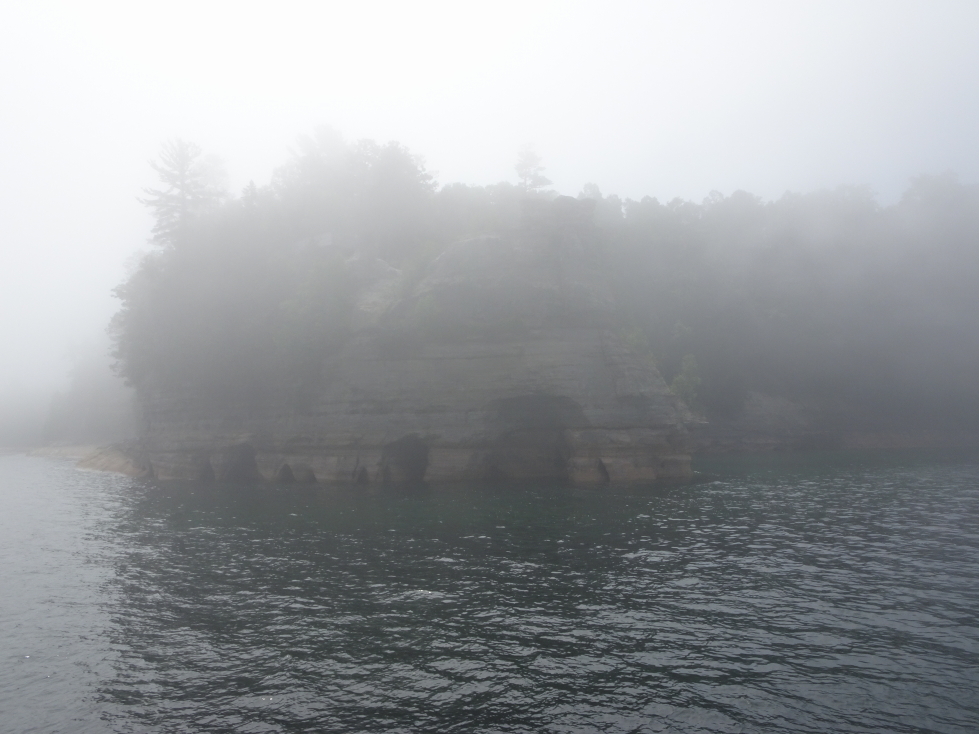
As it was still foggy the boat blew its horn every two minutes per Coast Guard rules.  We’d occasionally saw other boats emerge briefly out of the mist, only to disappear again shortly thereafter.  The guide pointed out a white float for scuba divers to hook up their boat to while diving down to a steamer wreck 95′ below.  Also saw a large green navigation buoy and actually did briefly glimpse red rock cliffs of Pictured Rocks National Lakeshore as well as the impressive formation “Miner’s Castle” with kayaks all about it.

Green navigational buoy valiantly braves the fog

Green navigational buoy valiantly braves the fog

Pictured Rocks National Lakeshore barely visible in the fog

Pictured Rocks National Lakeshore barely visible in the fog

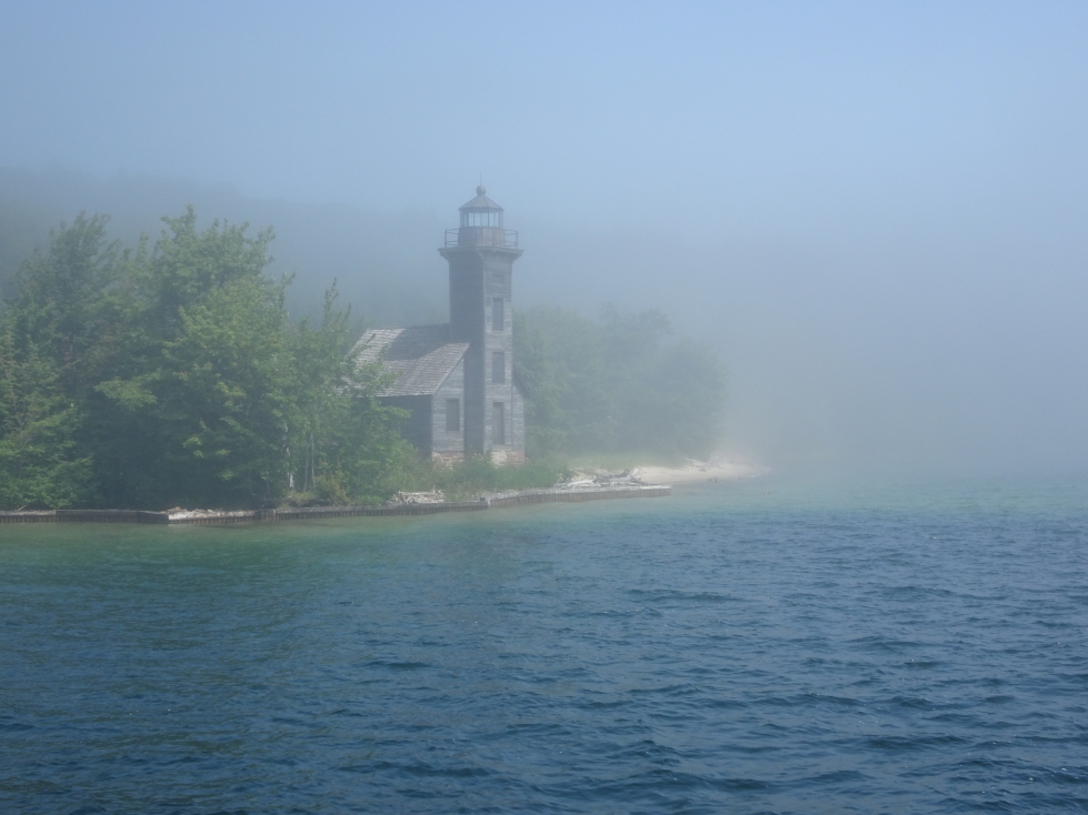
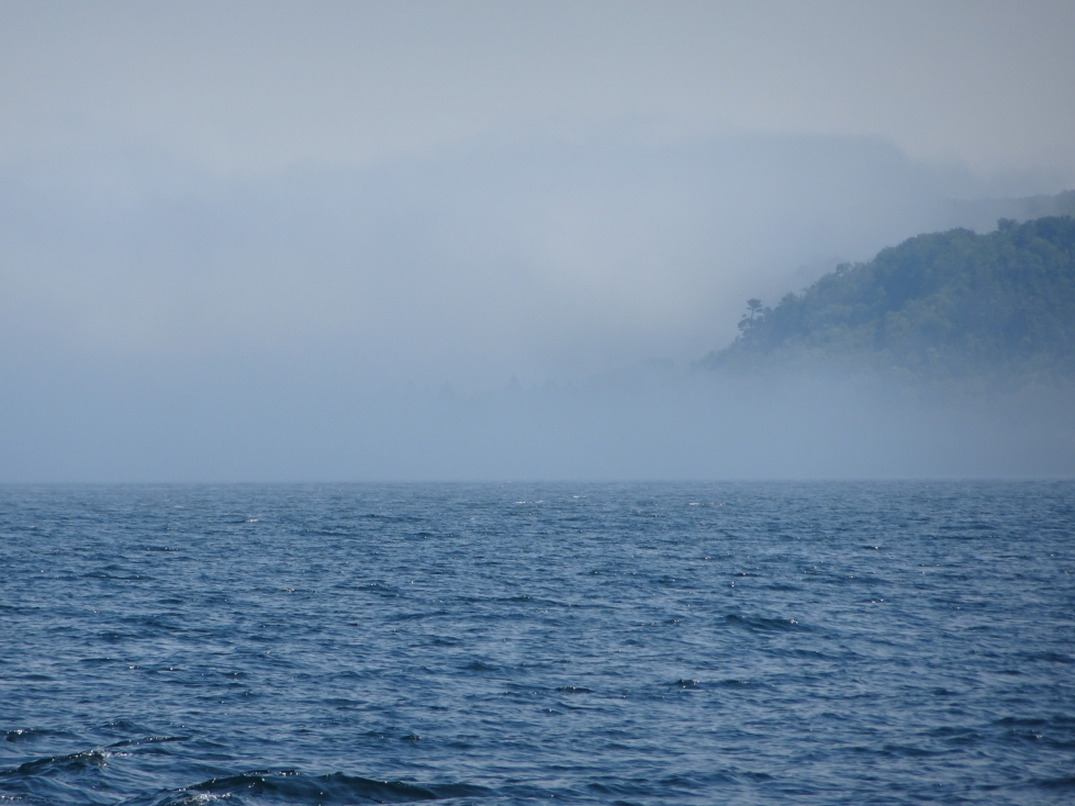
Sadly, however, it was too foggy for them to give us the tour.  They informed us that we were turning around and would get a full refund automatically.  The guide attempted to make up for the disappointment by giving us more information about the area such as Munising meaning “place of the island” or some such.  Munising is indeed protected by a large island, Grand Island.  It protects Munising from all directions, forming a great (and rare) port on Lake Superior.  We passed the East Channel Lighthouse, built around 1868 but long abandoned.  Preservation efforts were underway and I must admit it looked really cool in the fog.

East Channel Lighthouse on Grand Island

East Channel Lighthouse on Grand Island

As for the harbor, it wasn’t seeing as much use as in the past.  The fleet of fifteen commercial fishermen had dwindled down to three.  Sea lampreys killed the fish stock but with the United States and Canada working together to eradicate them it was now recovering.  The largest industry in Munising is a paper maker.  They don’t make the stinky pulp (as anyone who has traveled I-40 west of Asheville or I-95 south of Savannah would immediately remember) though — that is imported from Canada.

170710_9_MunisingFogBank_small

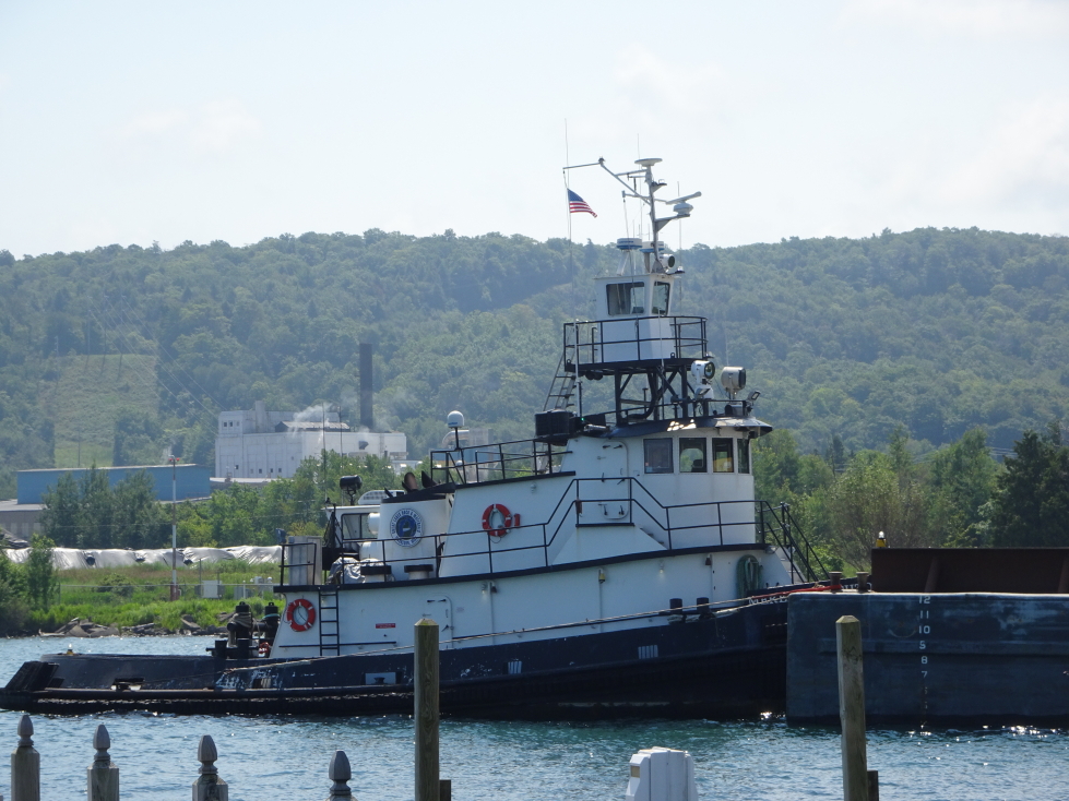
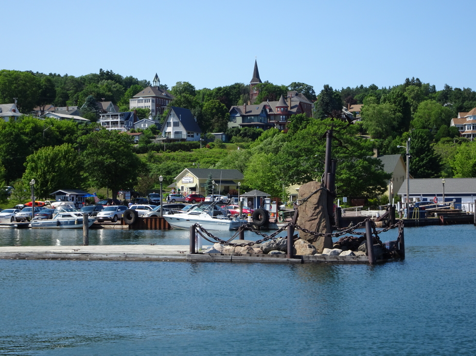
Cool tugboat in Munising harbor

Cool tugboat in Munising harbor

Once back at the dock we bought a magnet from the gift store and headed into town to find food.  We had chosen Johnny Dogs but it was closed so we ended up at a German food stand.  Sadly it had incredibly slow service.  Nearly an hour after ordering (from a food stand!) Michelle demanded a refund but was refused.  Ridiculous.  The food eventually did come, and was good, but damn what a terrible wait of over an hour.  Michelle had bratwurst and potato salad, Genetta schnitzel and potato salad, Addison cheeseburger and fries, and myself gravy fries and German chocolate cake (really?  wow, that’s misbehaving!).

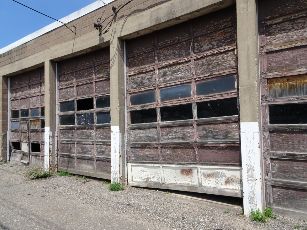
Really cool weathered garage near the harbor

Really cool weathered garage near the harbor

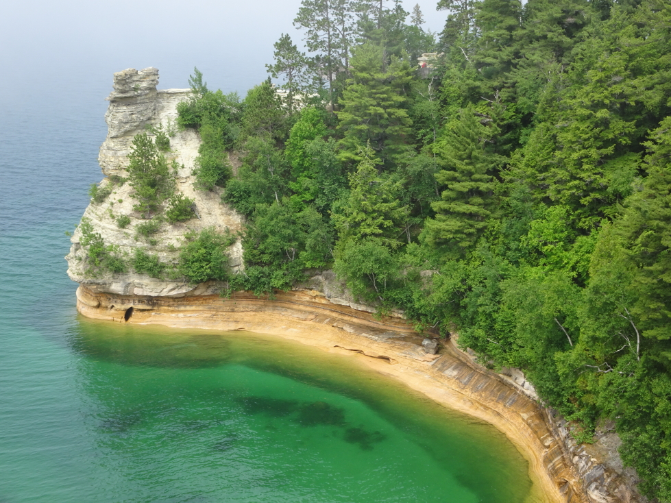
On the way out of town we got an apple pasty (pronounced past-ee) from Muldoon Pasties which Genetta and Michelle said was “ok”.  Not exactly a ringing endorsement.  One good thing, however — the fog bank was more prominent than before, so at least it wasn’t a “if we had just waited a few minutes…” type of deal.  We piled into the car and headed over to the Upper Overlook of Miner’s Castle about 2:30p, about 20 minutes each way from Munising.  At points we could see that the fog bank was only a hundred feet thick at most and the sky above was blue without a cloud!  Though fog was rolling in and out the overlook did provide a very nice view of Miner’s Castle, simply spectacular.  Though we didn’t get to see the entire Pictured Rocks National Lakeshore I was grateful we at least go to see that.

Miner's Castle formation, Pictured Rocks National Lakeshore

Miner’s Castle formation, Pictured Rocks National Lakeshore

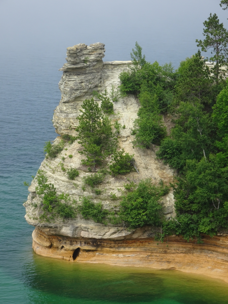
Closeup of Miner's Castle

Closeup of Miner’s Castle

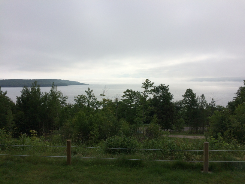
Had a two hour drive south across the Upper Peninsula to St. Ignace.  The southern UP was much flatter and had fewer evergreens and birches than the northern half.  Along the way we stopped on the Lake Michigan shore.  It was very sandy with dunes and dune grass but still quite a few out-of-place (for the beaches we normally visited) evergreens and birches.  We could also see the Mackinac Bridge in the distance, very impressive!  We arrived in St. Ignace just before 6p and took the 6p Shepler Ferry across to Mackinac Island.  They took our luggage for us and parked our car in a fenced lot for the night.  Very efficient!  The fifteen minute trip was great and wasn’t too choppy either.

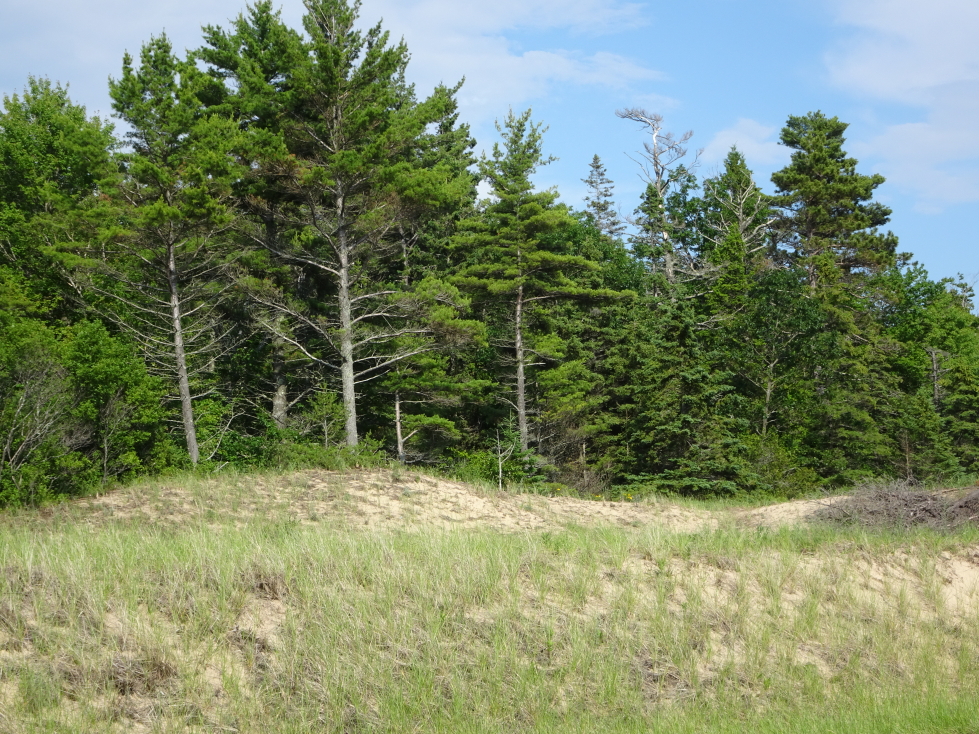
Lake Michigan beach, southern UP of Michigan

Lake Michigan beach, southern UP of Michigan

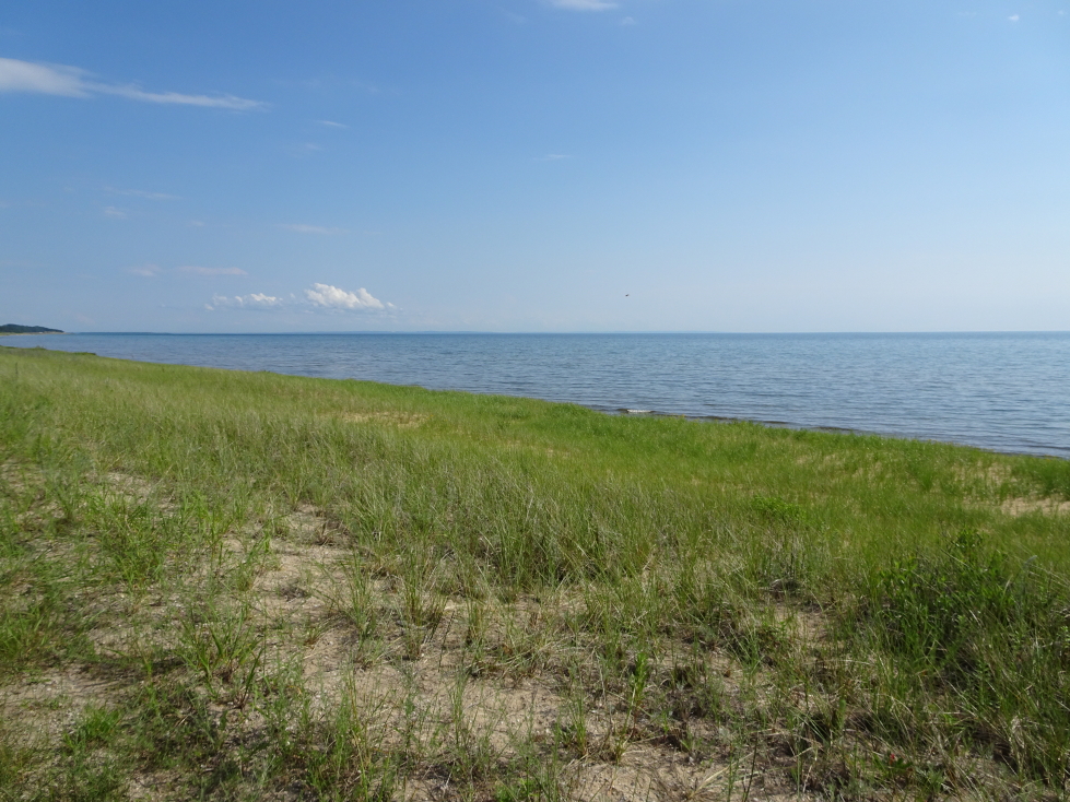
Lake Michigan and grassy dunes

Lake Michigan and grassy dunes

Something strange about dune grass and evergreens!

Something strange about dune grass and evergreens!

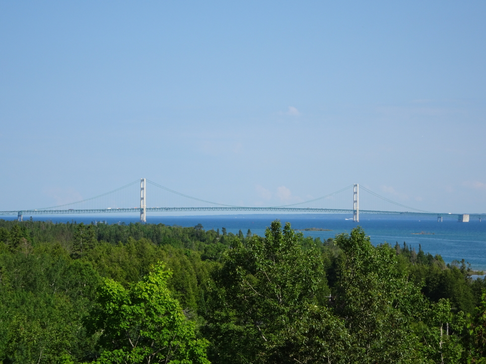
Mackinac Bridge loomed large despite being miles away

Mackinac Bridge loomed large despite being miles away

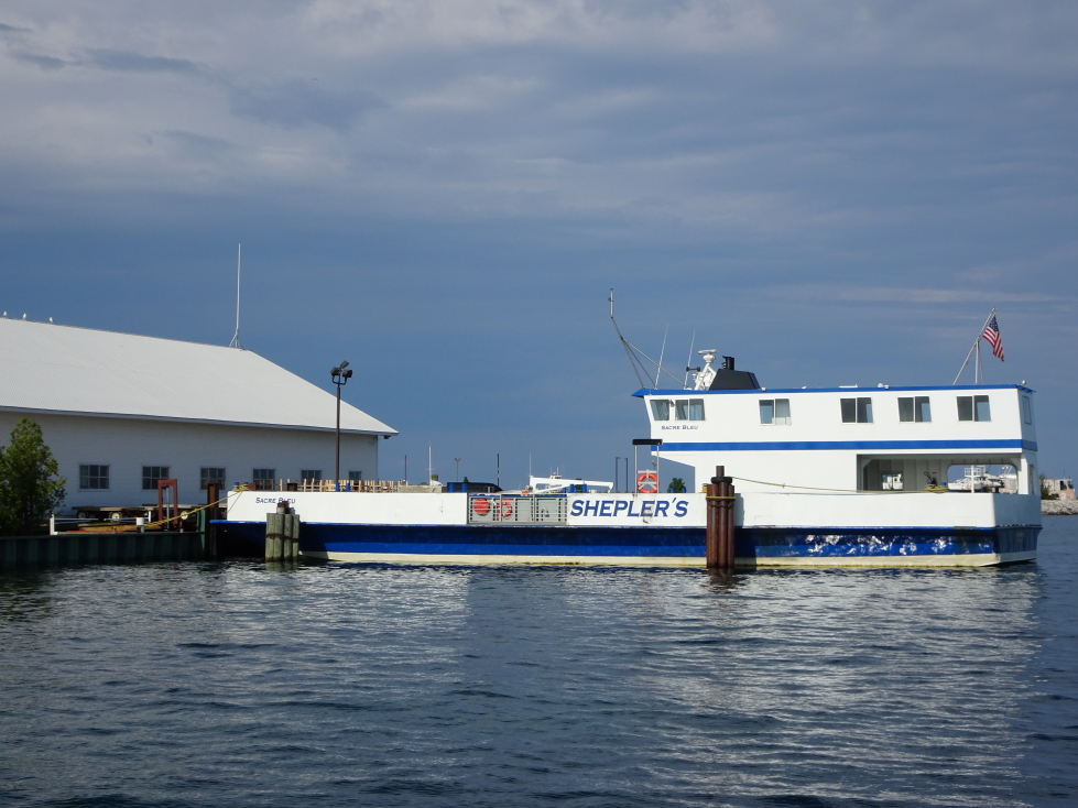
We took Shepler's Ferry from St. Ignace to Mackinac Island

We took Shepler’s Ferry from St. Ignace to Mackinac Island

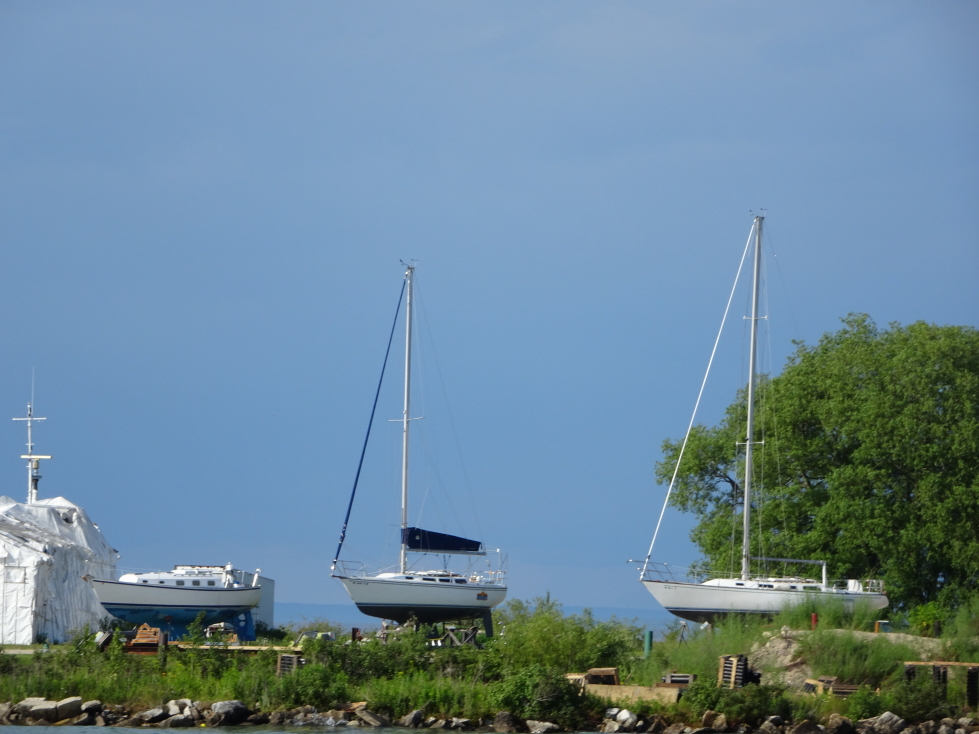
Sailboats in dry dock

Sailboats in dry dock

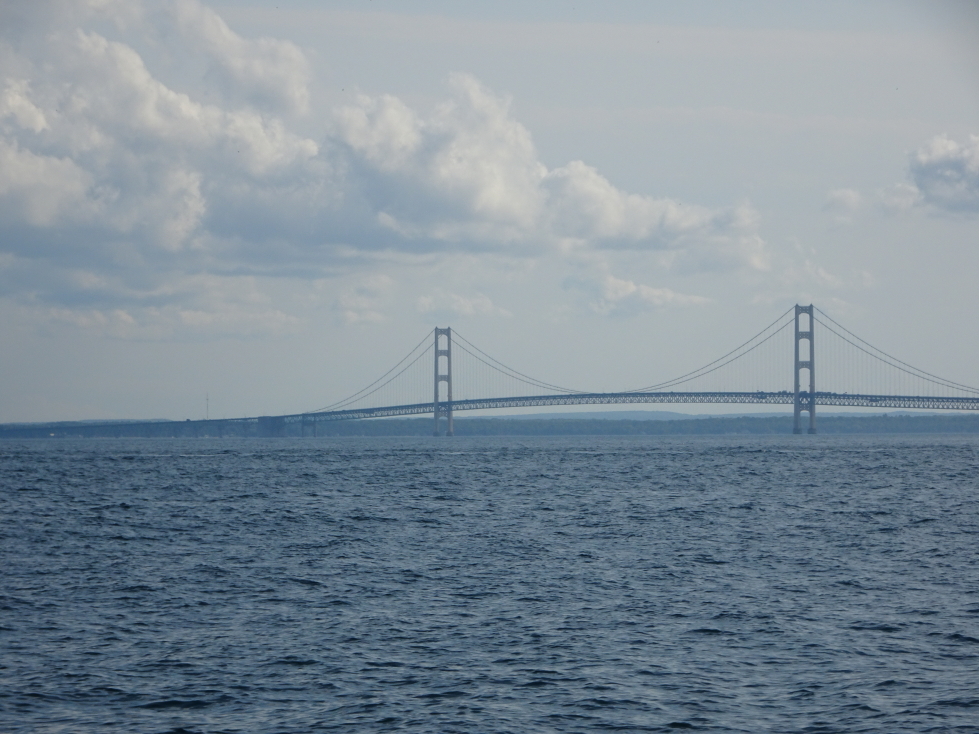
Mackinac Bridge connecting the Upper and Lower Peninsulas

Mackinac Bridge connecting the Upper and Lower Peninsulas

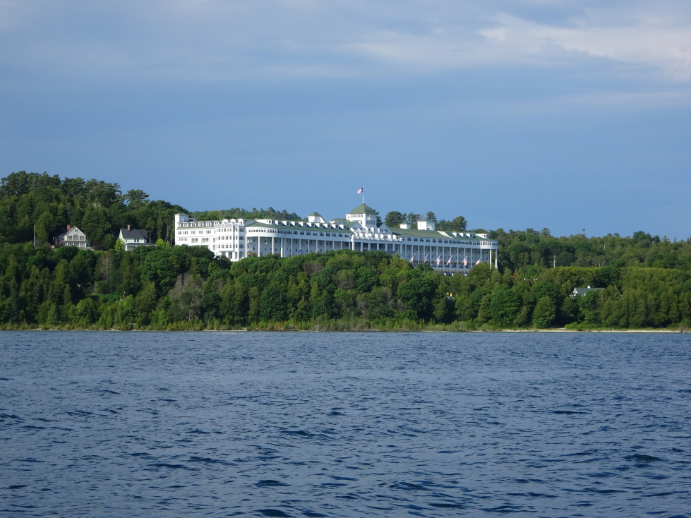
The Grand Hotel on Mackinac Island

The Grand Hotel on Mackinac Island

Mackinac Island waterfront

Mackinac Island waterfront

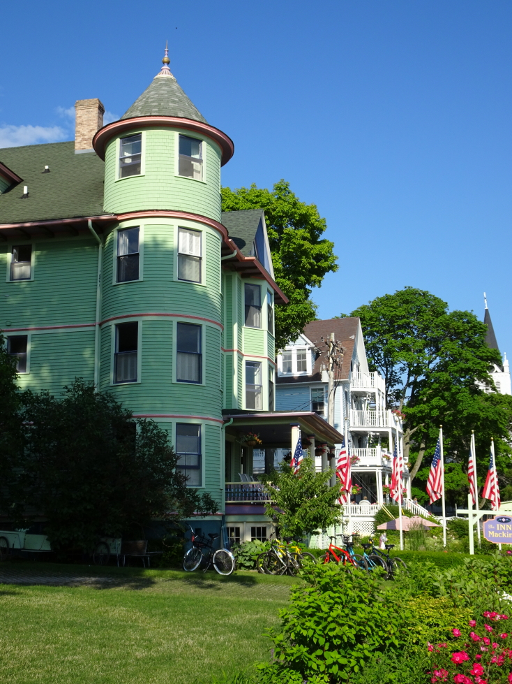
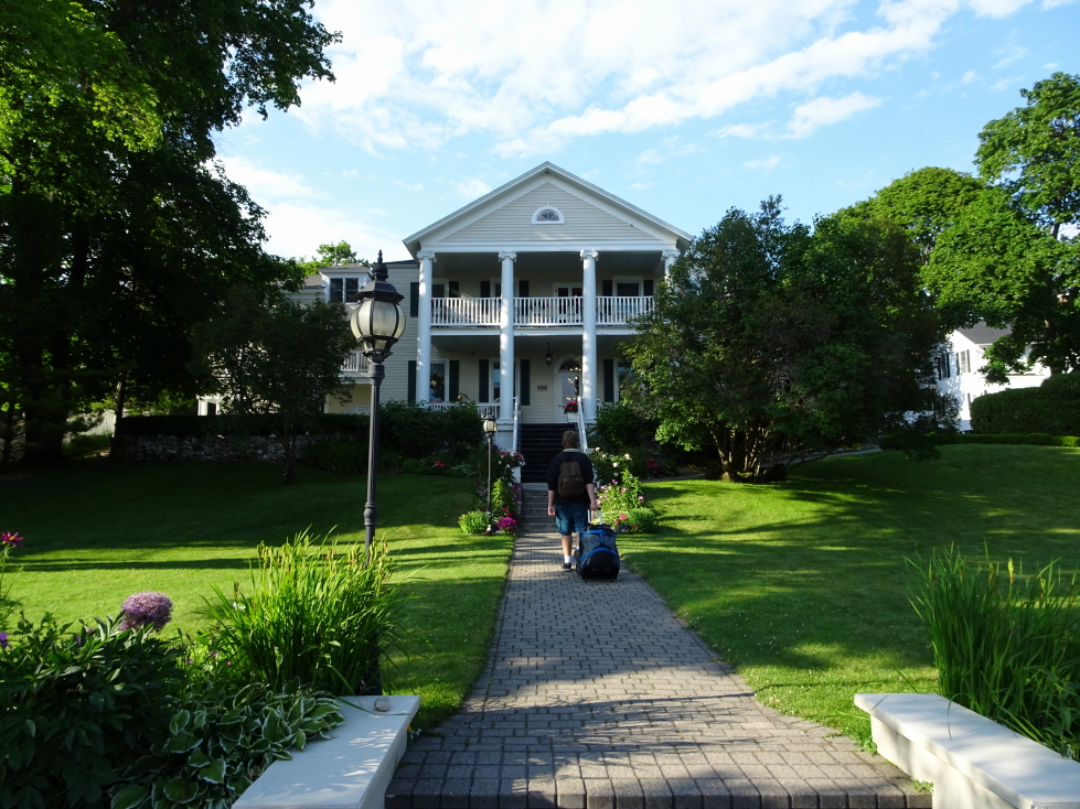
On arrival we waited a bit for the promised porter but he didn’t arrive.  Addison dragged the luggage to Harbour View Inn while the rest of us lagged behind.  What a nice young man!  Mackinac had no cars (well, except a fire truck), just horse buggies (stinky!) and bikes and walking for transport.  Thankfully the hotel wasn’t that far away.  We noticed a fort up on the hill to our left.  The Harbour View Inn was nice; we stayed in the Guest Building on the fourth floor in a nice room with lots of shades of blue.  It is like they could read Michelle’s mind!

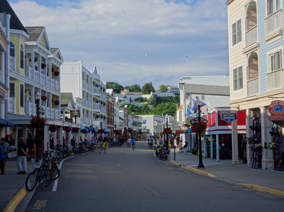
Mackinac Island's Main Street, blissfully free of cars

Mackinac Island’s Main Street, blissfully free of cars

Fort Mackinac

Fort Mackinac

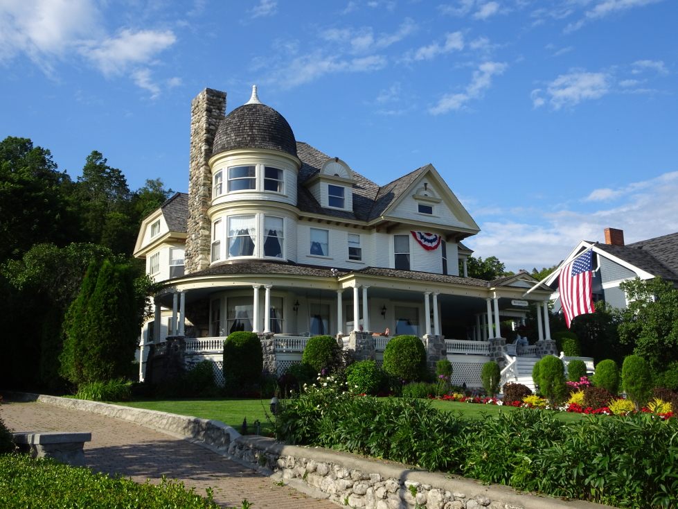
An impressive home on Mackinac Island

An impressive home on Mackinac Island

Another impressive home

Another impressive home

Addison lugging our luggage up to Harbour View Inn

Addison lugging our luggage up to Harbour View Inn

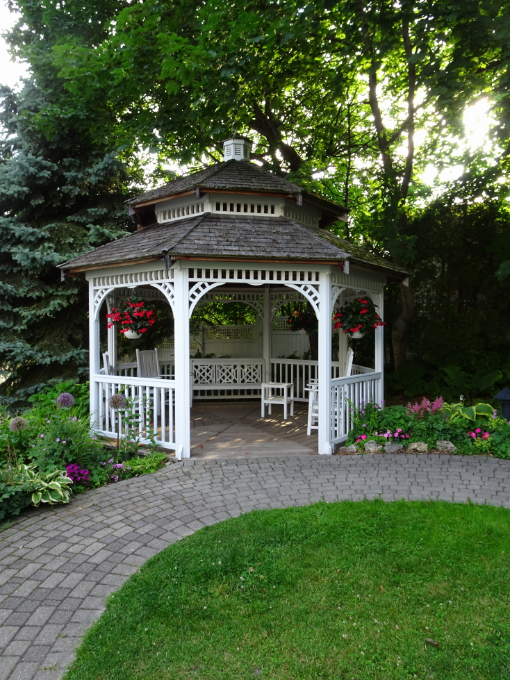
A gazebo between the main building and the guest house of Harbour View Inn

A gazebo between the main building and the guest house of Harbour View Inn

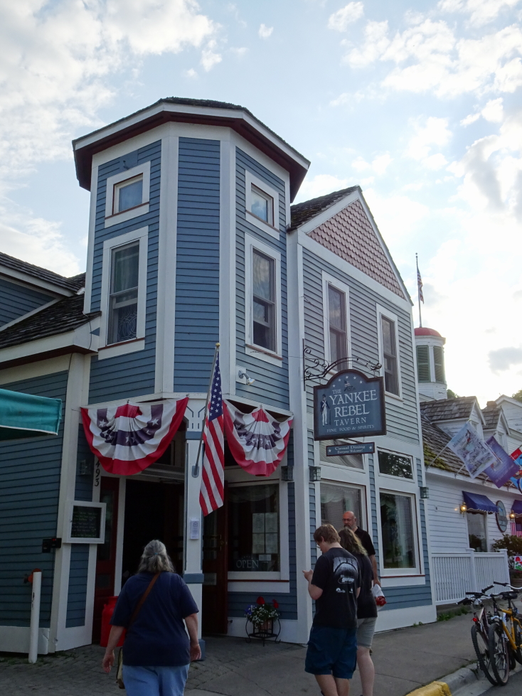
After freshening up we headed to dinner about 7:30p.  On the concierge’s recommendation we chose Yankee Rebel Tavern.  It wasn’t bad at all and offered solid, if expensive, American fare.  After some great bread to start the meal Michelle had chicken spinach penne, Genetta beef stew in a bread bowl, Addison a 12 ounce ribeye, and myself the old-fashioned pot roast.  About 9p we walked down Main Street (still daylight and busy) and did some shopping.  Bought a few things and got some dessert.  Michelle had hot chocolate, Genetta a coffee milkshake, Addison some chocolate fudge, and myself a coffee cone.  Yummy!

Yankee Rebel Tavern, solid American fare

Yankee Rebel Tavern, solid American fare

Bikes were all over the island!

Bikes were all over the island!

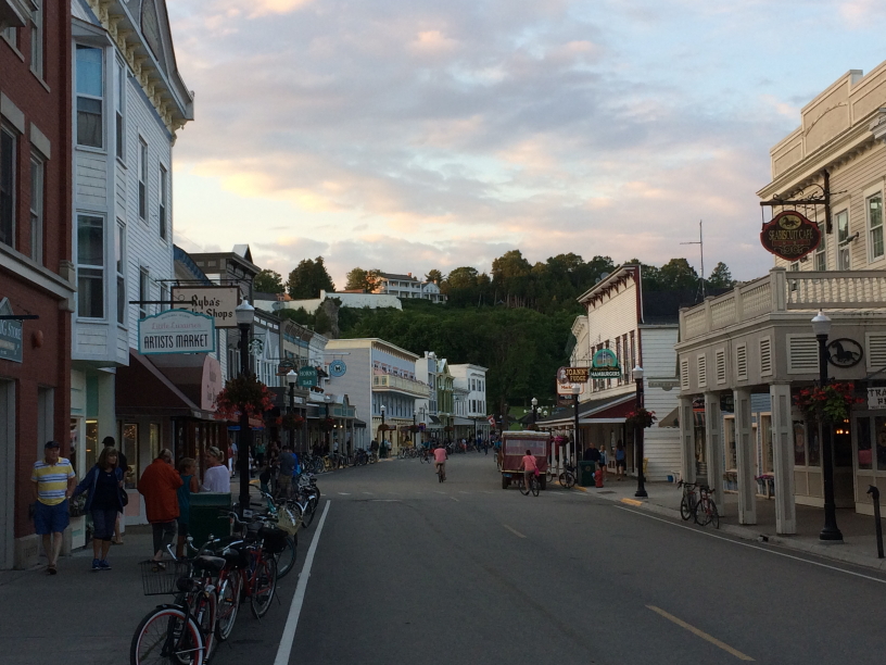
Main Street at dusk

Main Street at dusk

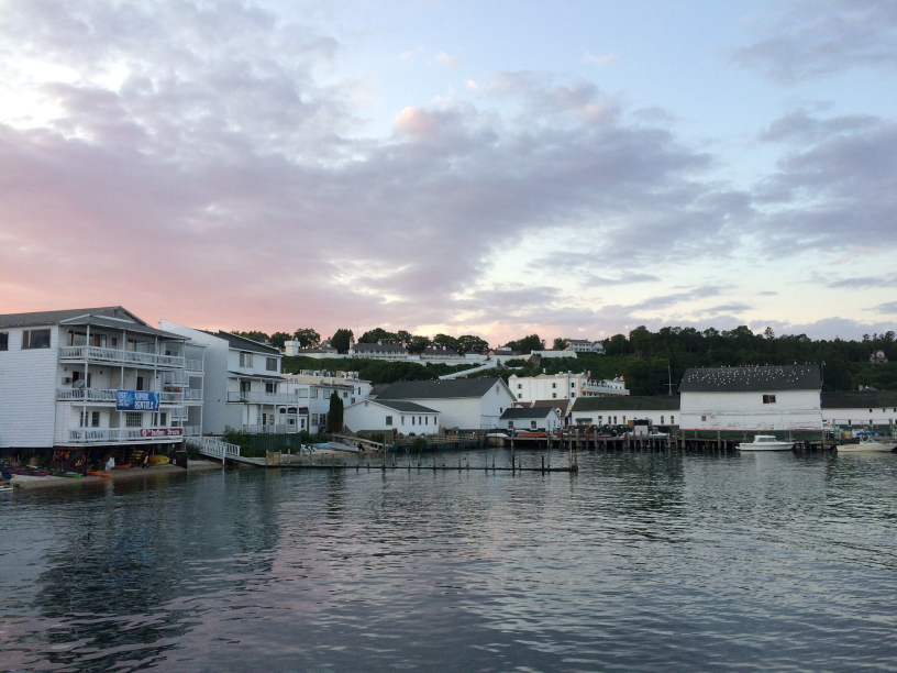
Mackinac Island's harbor at dusk

Mackinac Island’s harbor at dusk

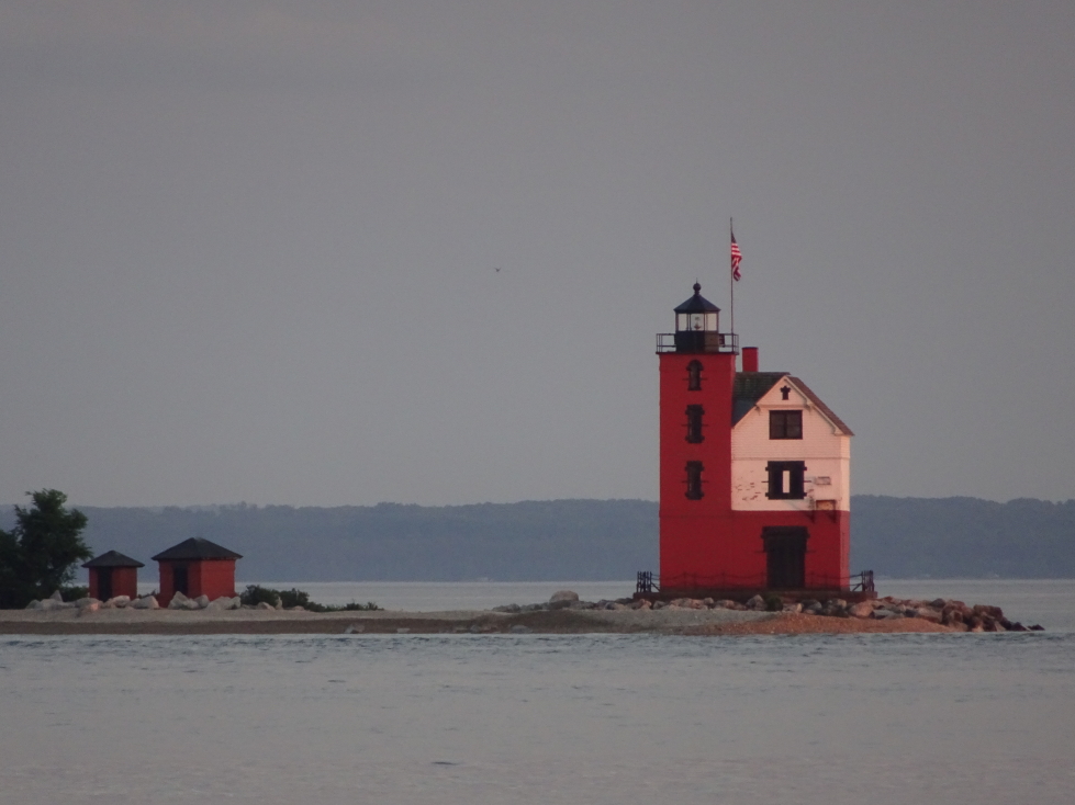
Round Island Light just off of Mackinac Island

Round Island Light just off of Mackinac Island

So.many.bikes!

So.many.bikes!

At 10:30p we headed back to the room where the family rested while I offloaded pictures and wrote the blog summary for the day before hitting the sack.

Route for Monday, July 10th, 2017

Route for Monday, July 10th, 2017

July 9, 2017

Sedentary Sedimentary

Filed under: Travel — Tags: — BigWeather @ 11:59 pm

We awoke before 8a and Genetta, Michelle, and myself had a light breakfast.  We set out just after 9:30a for the one hour drive to Cornucopia, Wisconsin.  The terrain was mostly farmland and nothing else — we saw only one gas station (which we used) along the way.  Beautiful country though surprisingly flat and sparse.

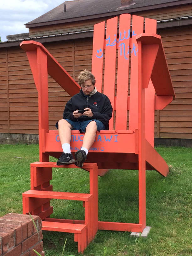
Stopped at a small restaurant, Little Nikki’s, in Cornucopia at 11a.  Addison had four pieces of toast and nothing else as he wasn’t feeling great, the rest of us had two eggs and bacon with Genetta ordering extra hash browns.  In front of the restaurant was a giant wooden chair that Addison hopped into for some photographs.

Addison in the big chair in front of Little Nikki's, Cornucopia, Wisconsin

Addison in the big chair in front of Little Nikki’s, Cornucopia, Wisconsin

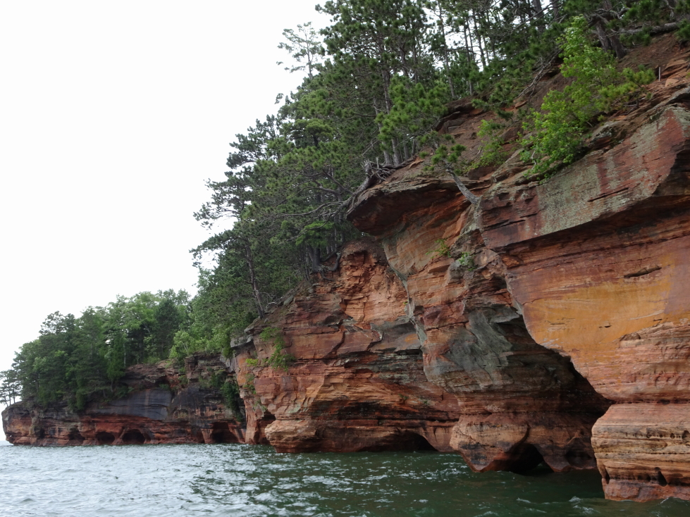
We then headed toward the harbor and Good Earth Outfitters, arriving at 11:45a.  After using the restroom we boarded our motorboat at noon.  It had a small cabin for the captain and at most one other person with an open rear area with benches built into the hull facing each other where the four of us sat.  After an entertaining safety talk we set out on a brisk pace for about fifteen minutes or so to get to the sea caves.  Along the way (both to and from the caves) we learned much about RVing and the Park Service.  The water wasn’t too rough, thankfully, but the temperature was a bit chilly and there was the occasional drizzle bordering on light rain.

Shoreline of Apostle Islands National Lakeshore on the Bayfield Peninsula

Shoreline of Apostle Islands National Lakeshore on the Bayfield Peninsula

Interesting rock formation at Apostle Islands National Lakeshore

Interesting rock formation at Apostle Islands National Lakeshore

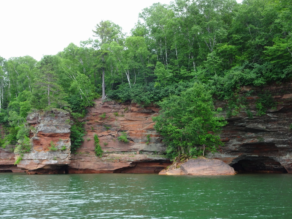
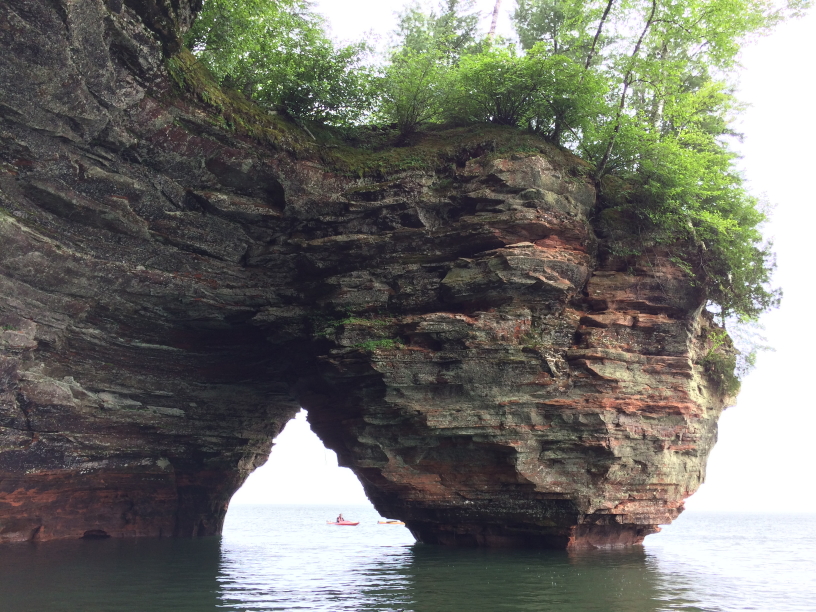
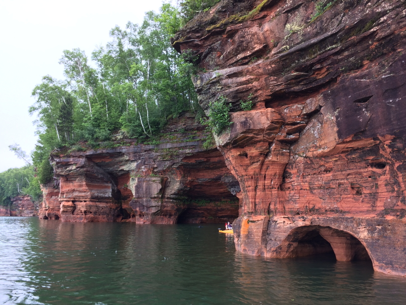
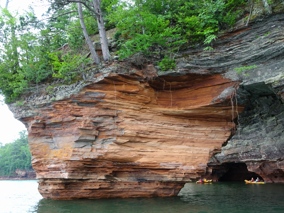
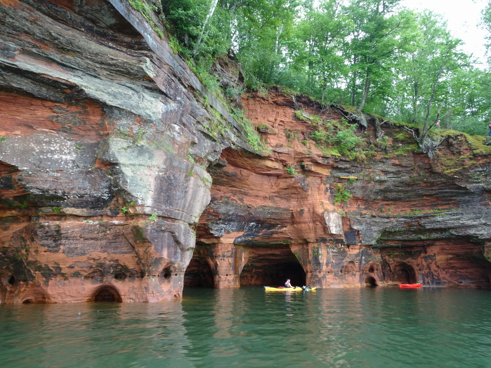
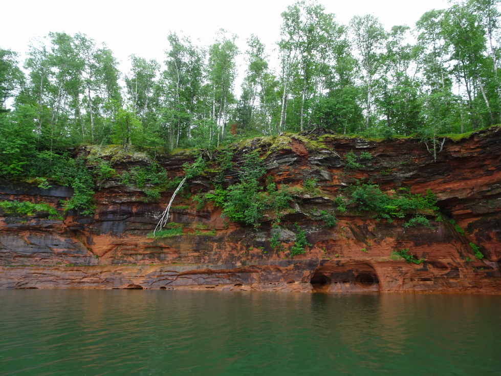
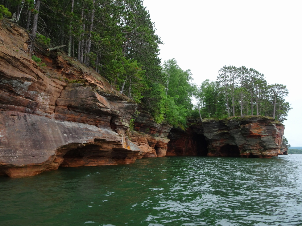
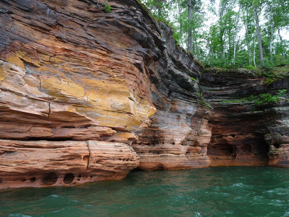
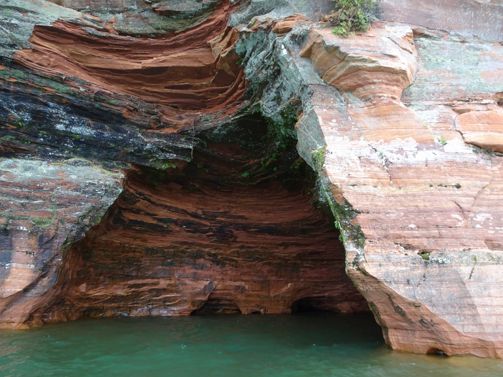
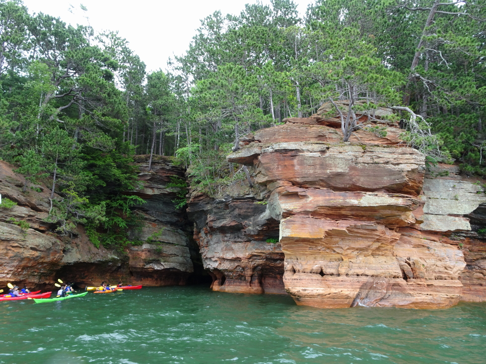
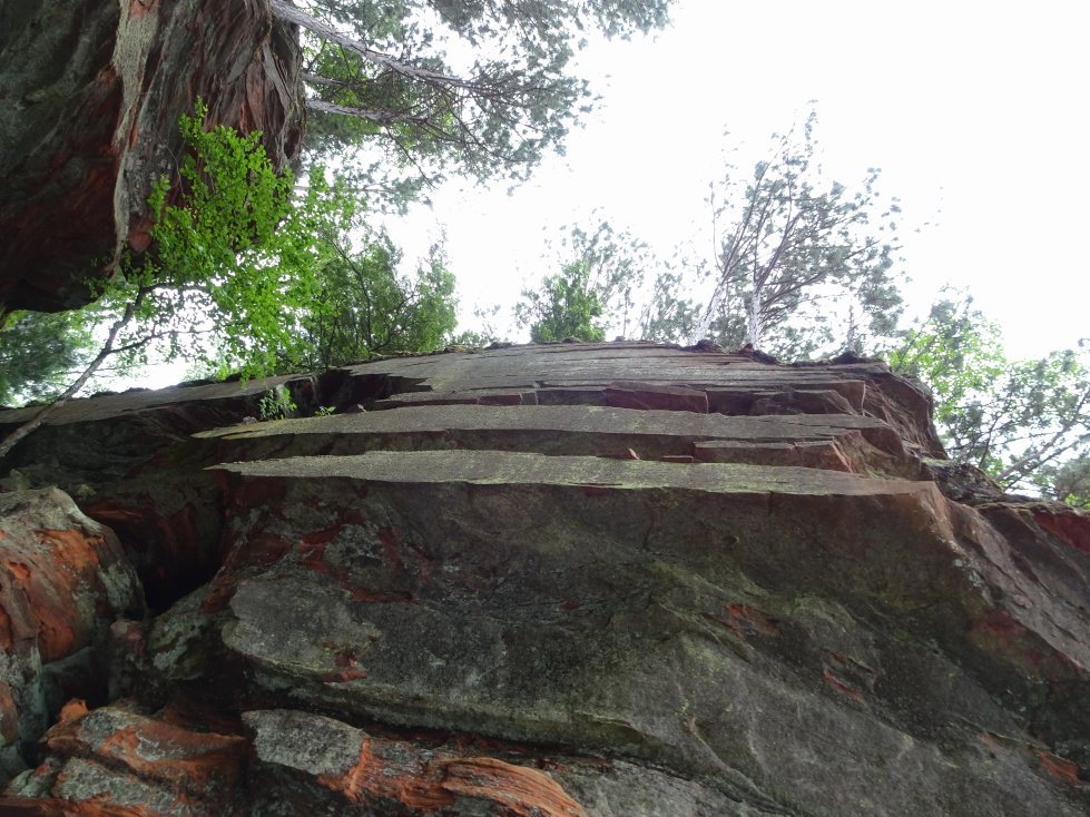
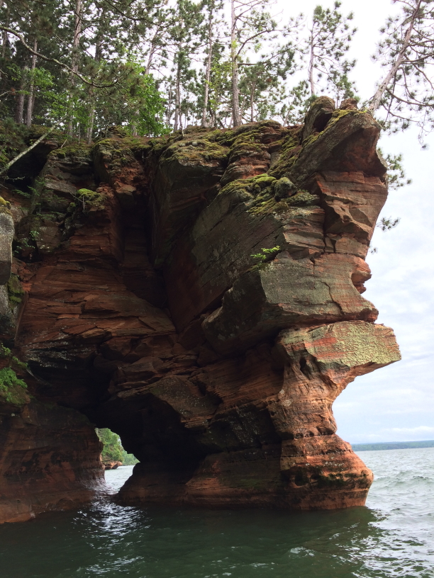
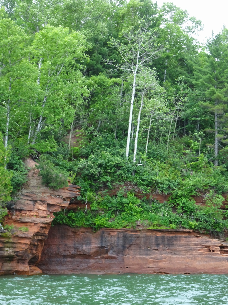
Once at the the caves he talked about how they were formed.  They aren’t really caves in the traditional sense, but rather sediment that was compressed then eroded forming shallow niches in the cliff face.  There were also vertical cleaves caused when glaciers receded and the land suddenly popped up with the weight lifted.

Shame the day was overcast, though maybe that let the water be more green?

Shame the day was overcast, though maybe that let the water be more green?

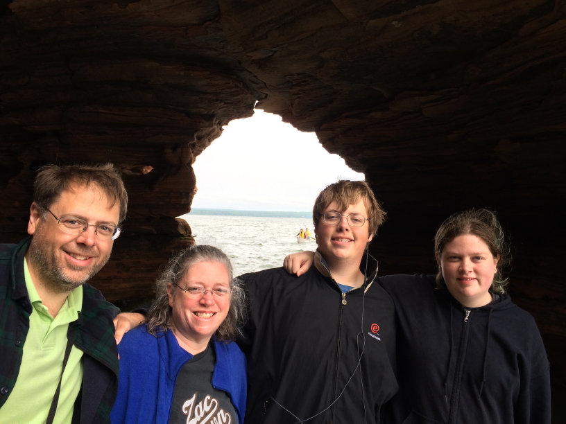
The Youngs -- photobombed by a kayaker

The Youngs — photobombed by a kayaker

Amazing bands of color in the rocks

Amazing bands of color in the rocks

He volunteered as a light keeper on three different islands in the Apostles (the small archipelago off the northwestern coast of Wisconsin) when he was 18.  He loved it as he enjoyed the isolation.  He would buy groceries for two weeks at a time and spent his free time reading old keepers’ logs.

Kayakers lucked out with such a calm day

Kayakers lucked out with such a calm day

A tree loses its valiant fight against erosion

A tree loses its valiant fight against erosion

More beautiful cliffs and green water

More beautiful cliffs and green water

He told us about the ice caves that form every so often when Lake Superior freezes solid and people can walk over a mile on the ice to the sea caves and see icicles dangling from their roofs.  In order for the ice caves to be (legally) visited, the National Lakeshore rangers have to verify that the route from the nearest access over a mile away is safe to walk upon.

Another view of the cliffs and green water

Another view of the cliffs and green water

A closeup of the cliffs

A closeup of the cliffs

A colorful group of kayakers shared the cliffs with us

A colorful group of kayakers shared the cliffs with us

Our guide also told us about deer that sometime get trapped in the caves after falling from the high (50’+) cliffs into the lake and swim to the dry land of the cave floor.  They can be saved sometimes by kayakers leading them to the access points via a mile long swim.  Speaking of kayakers, we did see a group or two in the caves and patiently waited for them to finish before going in ourselves.  The kayakers could go deeper, of course, being much smaller.  Did see some canoers foolishly attempting to go it alone — being a fairly long paddle and a choppy lake with frigid temperatures it isn’t a good idea to go alone.

Note how cleanly the cliff was cleaved, amazing!

Note how cleanly the cliff was cleaved, amazing!

Nearly, but not quite, a sea (lake?) stack

Nearly, but not quite, a sea (lake?) stack

Another view of the cliffs

Another view of the cliffs

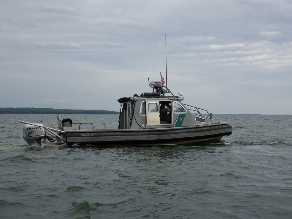
Also saw some kayakers with a diver trying to recover a (not legal in the National Lakeshore) drone as well as some foolhardy hikers walking right along the edge of the very crumbly cliff edge.  Our captain called in to the NPS about both the drone kayakers and the hikers, a Park Service boat swinging by shortly after to get the details in person.  It was nice to see him working with the Park Service, it reaffirmed our decision to avoid the large boat tours that also visited the sea caves (typically not the mainland ones like we were visiting but some of the islands) and go with a small operator with a decent reputation.

A patrol boat manned by a ranger from Apostle Islands National Lakeshore

A patrol boat manned by a ranger from Apostle Islands National Lakeshore

One final view of the gorgeous cliffs

One final view of the gorgeous cliffs

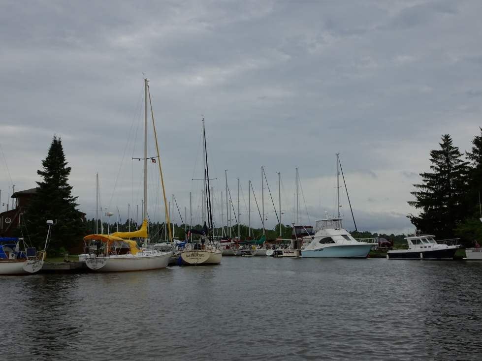
By the time we headed back to the harbor shortly before 2p the weather had slightly improved as the showers had stopped.  We were back on shore at 2p and promptly drove to Bayfield, a town on the east side of the peninsula that Cornucopia was.  At 3p we ate at the Pier Plaza Restaurant on the earlier recommendation of our guide.  Michelle had the shrimp salad, Genetta a club sandwich, Addison a cheddar bacon burger, and myself a mushroom swiss burger.  They had decent homemade chips and the nachos with beef appetizer was also very tasty.  The town was very quaint and the much improved weather — blue skies with puffy white clouds departing to the east — made for a very pleasant afternoon.

Cornucopia's harbor

Cornucopia’s harbor

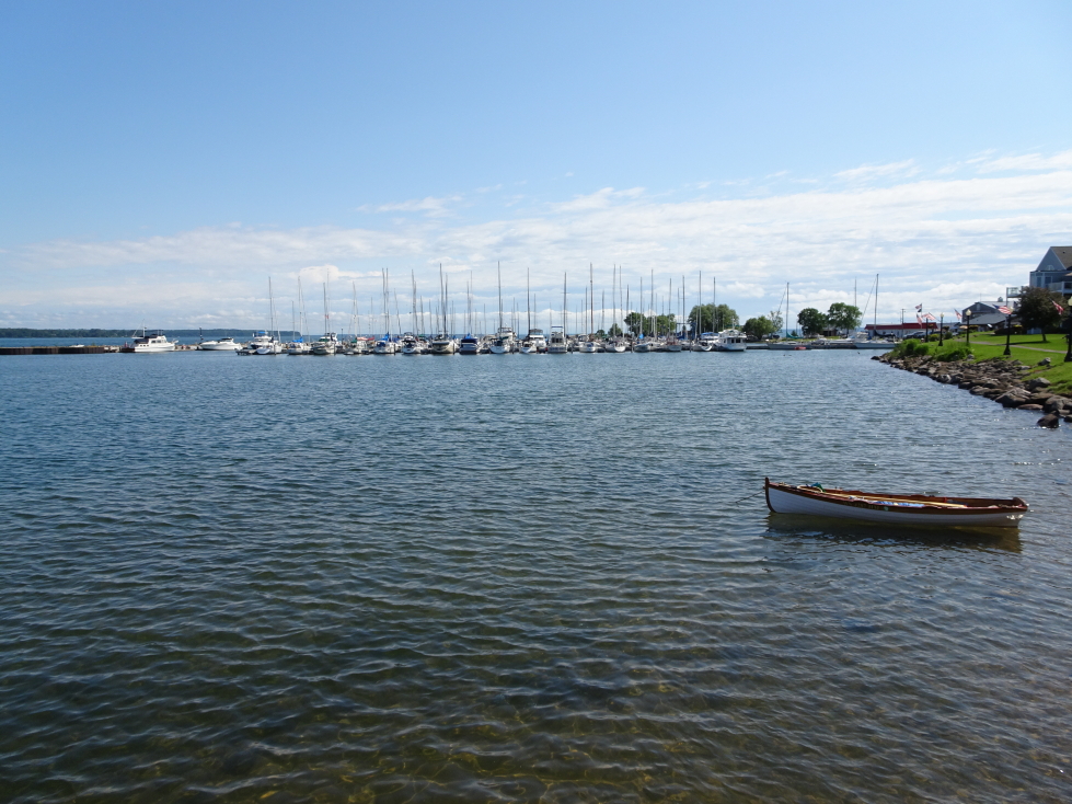
Bayfield's harbor

Bayfield’s harbor

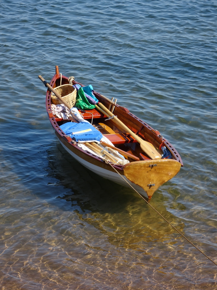
A nifty and colorful rowboat is basically catnip to me and my camera

A nifty and colorful rowboat is basically catnip to me and my camera

Some of Bayfield's fancier homes on the hill above the pier

Some of Bayfield’s fancier homes on the hill above the pier

We had a long drive ahead of us, however, so reluctantly we hit the road again for Munising, Michigan, our stop for the night at about 4:30p.  Due to the late hour when we set out, as well as the loss of an hour going from CDT to EDT, I had to sadly cancel plans to visit Jeff’s family in Minocqua.  The drive through the Upper Peninsula was a bit different than I expected.  Less pine and evergreen and more birch.  Also fewer wildflowers.  There were some nice hills and streams (including one with a bridge over it at a rest area that had a statue of a miner inside).  That rest area had a bit of information about the iron ore mines of the UP, apparently they ran as deep as a mile before strip mining took over in the later 1900s.

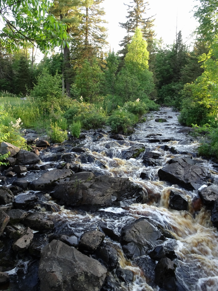
Small stream at a rest stop in Michigan

Small stream at a rest stop in Michigan

Just before Munising we stopped at a Starbucks in Marquette just before they closed — very yummy!  Finally arrived at the hotel at 11p.  It was nice, with a lake view (supposedly, was quite dark) but sadly the aurora we had hoped for was not on display.  Returned to the room and offloaded the photos and blogged before bed.

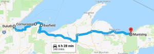
Route for Sunday, July 9th, 2017

Route for Sunday, July 9th, 2017

July 8, 2017

Gitche Gumee

Filed under: Travel — Tags: — BigWeather @ 11:59 pm

We awoke about 8a and headed to breakfast around 9a at the lodge.  While Addison abstained and remained in bed, Genetta enjoyed a chorizo burrito while Michelle and I had bacon and eggs (and myself added some hash browns).  Very tasty, as was the coffee.  We checked out of the lodge about 10a and talked about renting some canoes but the family was a little run down and not feeling it (as happens on these trips sometimes, they can be a grind).

Hungry Jack Lake

Hungry Jack Lake

Adirondack Chairs in the lawn behind the lodge

Adirondack Chairs in the lawn behind the lodge

Fish house for cleaning and preparing fish at the lodge

Fish house for cleaning and preparing fish at the lodge

Back of Lynx cottage at the lodge

Back of Lynx cottage at the lodge

We headed up the Gunflint Trail a tiny bit more before turning around, taking pictures of a beautiful lake and some flowers on the way back to Grand Marais on the shores of Lake Superior.  Once in Grand Marais we drove northeast up 61 to Grand Portage National Monument, stopping along the way a couple of times for pictures.

Beautiful flowers along the Gunflint Trail

Beautiful flowers along the Gunflint Trail

Lovely small lake off the Gunflint Trail

Lovely small lake off the Gunflint Trail

Another view of the lake

Another view of the lake

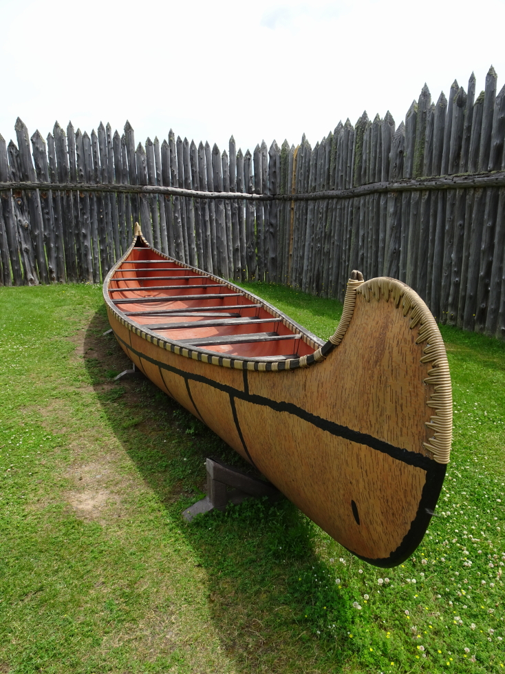
We got to Grand Portage about noon.  The site is a reconstruction of the trading post located on the plot in the 1700s.  The North Western Co operated it and there were two primary types of traders that would visit to trade furs, resupply, etc. — the Montrealers (who slept under their canoe) and the Voyageurs (who slept in a tent).  It was named after the portage not far away that the traders would use to travel from the lake to the Pigeon River, which offered access to the interior.  The natives, the Objiwe people, worked with the Voyageurs and were employed within the trading post.  The canoes that the traders used were immense — 38 feet long and carried four tons of cargo and were powered by sixteen paddlers.
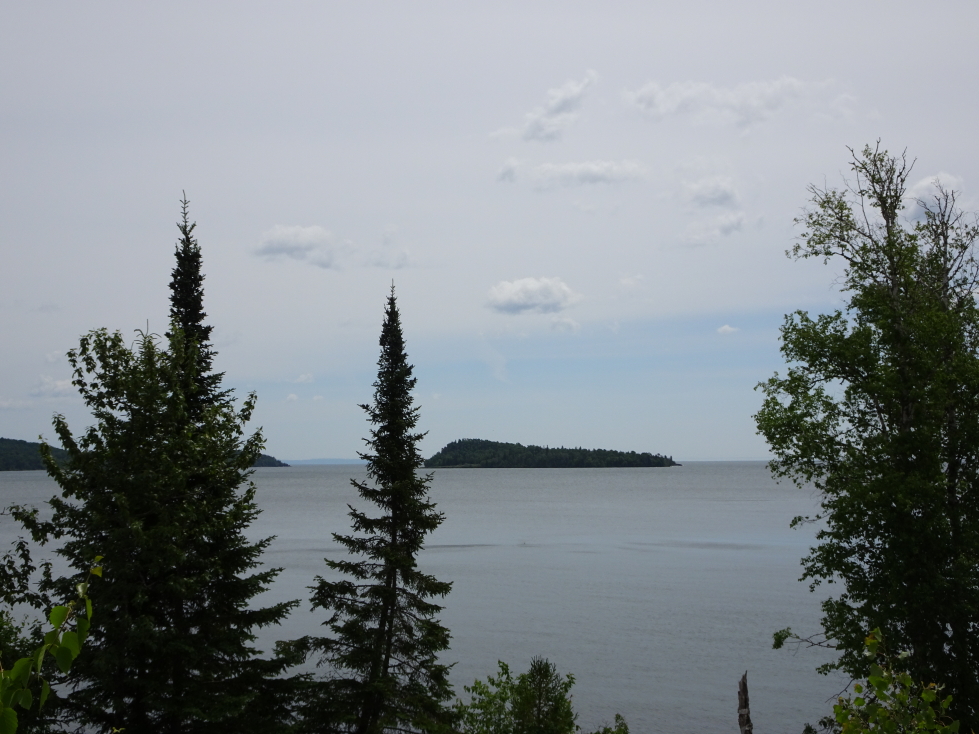
Grand Portage Island
Grand Portage Island

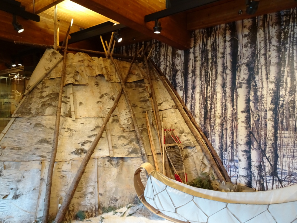
Diorama in the Grand Portage National Monument's museum

Diorama in the Grand Portage National Monument’s museum
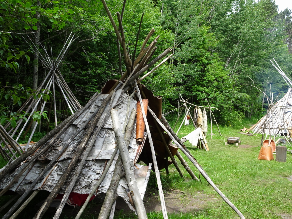
Bark lodgings at Grand Portage NM
Bark lodgings at Grand Portage NM

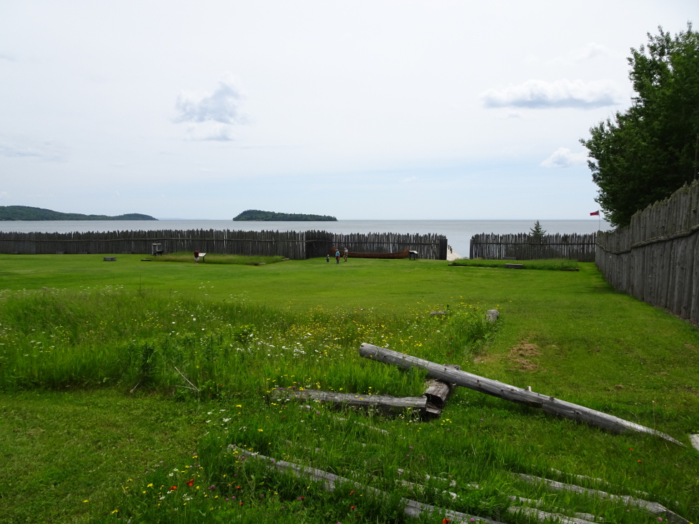
Grand Portage NM

Grand Portage NM

After the American Revolution the newly formed United States owned the site.  The trading post was willing to roll with the change in ownership from British to American until the Americans asked for back taxes (all the way back to the post’s founding).  In response the trading post packed up the entire site, buildings and all, and moved to Fort William in Thunder Bay (now in Ontario, Canada) about 25 to 30 miles further up the lake shore.
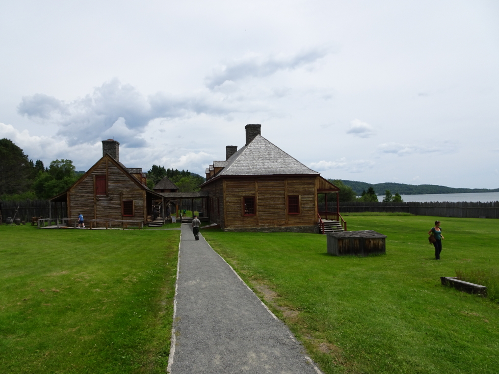
Grand Portage NM buildings
Grand Portage NM buildings

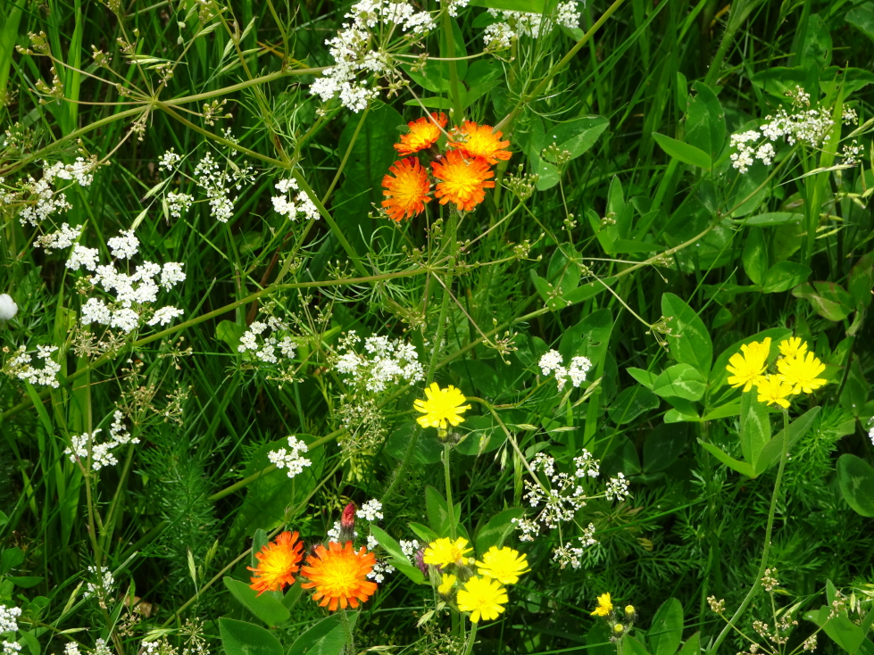
Pretty flowers
Pretty flowers

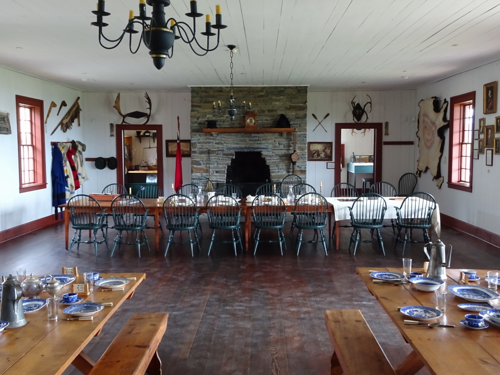
Interior of Grand Portage's main hall

Interior of Grand Portage’s main hall
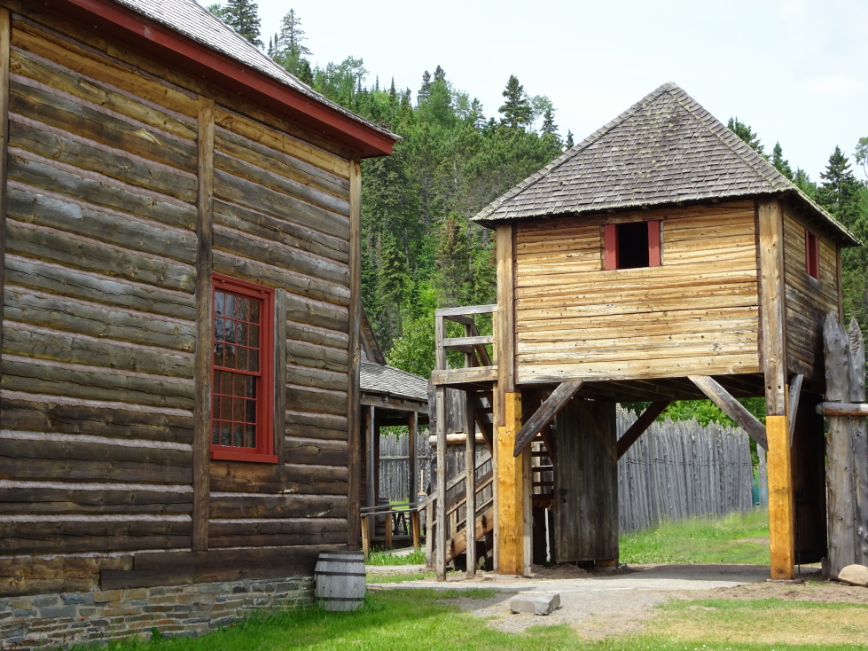
Guard tower at Grand Portage NM

Guard tower at Grand Portage NM

The site had a neat museum with dioramas of traders camping out and a decent video.  Genetta also saw a ferret — or something — while she and Michelle were at the lake shore on a dock.
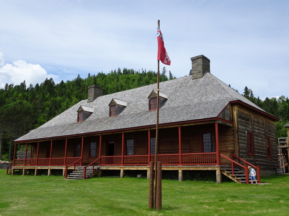
Grand Portage NM main hall
Grand Portage NM main hall

Canoe similar to the ones the North West Company used
Canoe similar to the ones the North West Company used

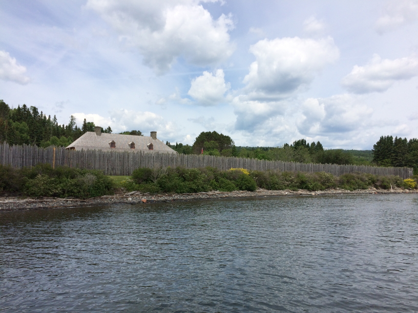
Grand Portage from the dock
Grand Portage from the dock

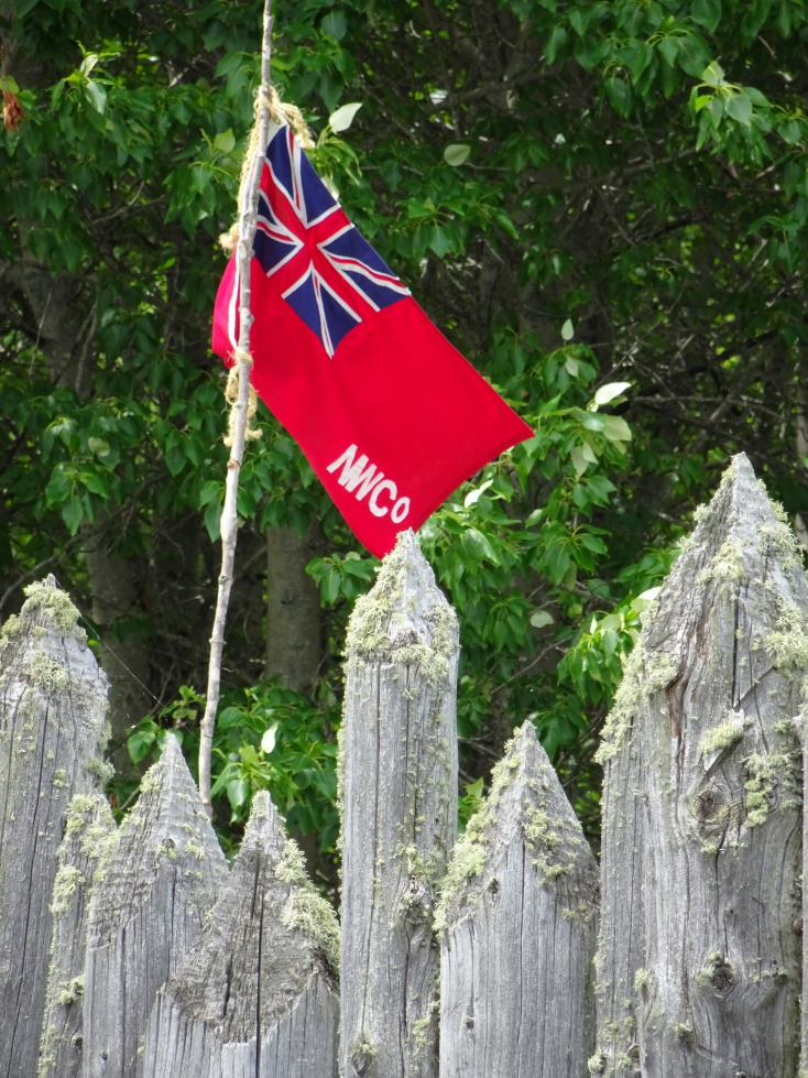
North West Co flag

North West Co flag

Hopped back in the car about 2p and drove a short distance further north, just shy of the Canadian border.  As we had been to Canada, and Ontario in particular, in 2011 we decided to forgo the hassle of the border crossing and hiked up to High Falls.  It was advertised as a short (500 foot) walk but they lied.  Oh did they lie.  It was closer to a mile, we think the 500 foot figure probably came from being 500 feet off of the main trail.  Well worth it though, a quite high falls with lots of spray that led to a marshy river (the aforementioned Pigeon) that separates the US and Canada.  We met a really nice couple from Minnesota that recommended Grandma’s Saloon for burgers in Duluth’s Canal Park.

Pretty meadow in Minnesota

Pretty meadow in Minnesota

View of Lake Superior from near the Canadian border

View of Lake Superior from near the Canadian border

Another view of Lake Superior

Another view of Lake Superior

The Pigeon River and Canada beyond

The Pigeon River and Canada beyond

High Falls on the Pigeon River

High Falls on the Pigeon River

The Youngs at the High Falls of the Pigeon River

The Youngs at the High Falls of the Pigeon River

Birch trees, the best kind of trees

Birch trees, the best kind of trees

We picked up snacks at an Objiwe reservation convenience store then later stopped at a rest area run by Minnesota State Parks where we picked up some magnets (including one that says “Yeah, you betcha!”).  A short distance later we stopped at Split Rock Lighthouse at just about 5:30p.  As we only had a few minutes before closing and the fee to even see it was a ridiculous $10 I went alone.  It was OK, not very remarkable.  I guess I’m spoiled by the majestic Outer Banks lighthouses!  While on a spectacular cliff it was a squat structure.  The keeper had to check on the light every two hours.  I was last up to see it for the day, which was pretty cool, they closed the door behind me as I left.  A big storm in 1905 with 30 foot waves sunk many ships and killed 11 sailors, prompting Congress in 1907 to allocate $75,000 for the creation of the lighthouse.  It was built in 1910 and in operation until 1969.

Yet more pretty flowers, this time along MN61

Yet more pretty flowers, this time along MN61

Split Rock Lighthouse on Lake Superior

Split Rock Lighthouse on Lake Superior

View of Lake Superior from Split Rock Lighthouse

View of Lake Superior from Split Rock Lighthouse

Split Rock Lighthouse

Split Rock Lighthouse

The lens at Split Rock Lighthouse

The lens at Split Rock Lighthouse

While the weather had been a bit gray with light spits of rain earlier in the day the clouds had by evening moved out.  As we drove southwest toward Duluth we saw patches of beautiful purple, pink, and white flowers beside the road.  In a really neat moment Sirius played Gordon Lightfoot’s “Wreck of the Edmund Fitzgerald” about the famous wreck of a ship on Lake Superior.

We arrived in Duluth and were immediately impressed by the Aerial Lift Bridge, built in 1929.  The roads were quite confusing but we managed to finally get to our hotel (a Holiday Inn Express, of course) in Superior, Wisconsin, about 7:30p.  Headed back into Duluth and sought out Grandma’s based on the recommendation back at High Falls.  The Appetizer of cheese sticks was good.  Addison had a bacon cheeseburger while Genetta and myself had the Original Bicycle Burger with bacon (three cheese, two patties, onions, mushrooms, etc.).  Michelle had the penne pasta.  It was decent, if a little loud.  Definitely had a “roadside eatery” feel with old toys, metal signs, etc. all about and a gift shop in front.

Aerial Lift Bridge in Duluth, Minnesota

Aerial Lift Bridge in Duluth, Minnesota

Canal Park had a freighter ship (serving as a museum), an aquarium, and a theater.  We went to the 10p showing of Wonder Woman, which we enjoyed.  Got out at 12:30a and back to the hotel at 1a where I backed up photos and summarized the prior two days for future blogging until 2:30a.  An exhausting day!

Route for Saturday, July 8th, 2017
Route for Saturday, July 8th, 2017
July 7, 2017
Northern Tier

Filed under: Travel — Tags: — BigWeather @ 11:59 pm

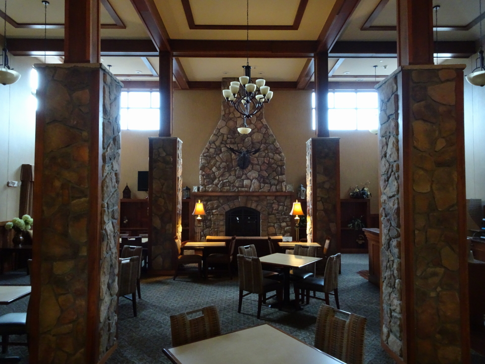
Awoke around 8a but didn’t leave the hotel until 10a — the family really needed a bit of a rest.  When we left it had just started to rain.  We stopped at the adjacent WalMart for some supplies and Genetta picked up Zelda Majora’s Mask for the 3DS while Addison got a Google Play card.  Next we gassed up and hit McDonald’s for the kids.

Our Holiday Inn Express had a neat wilderness lodge feel

Our Holiday Inn Express had a neat wilderness lodge feel

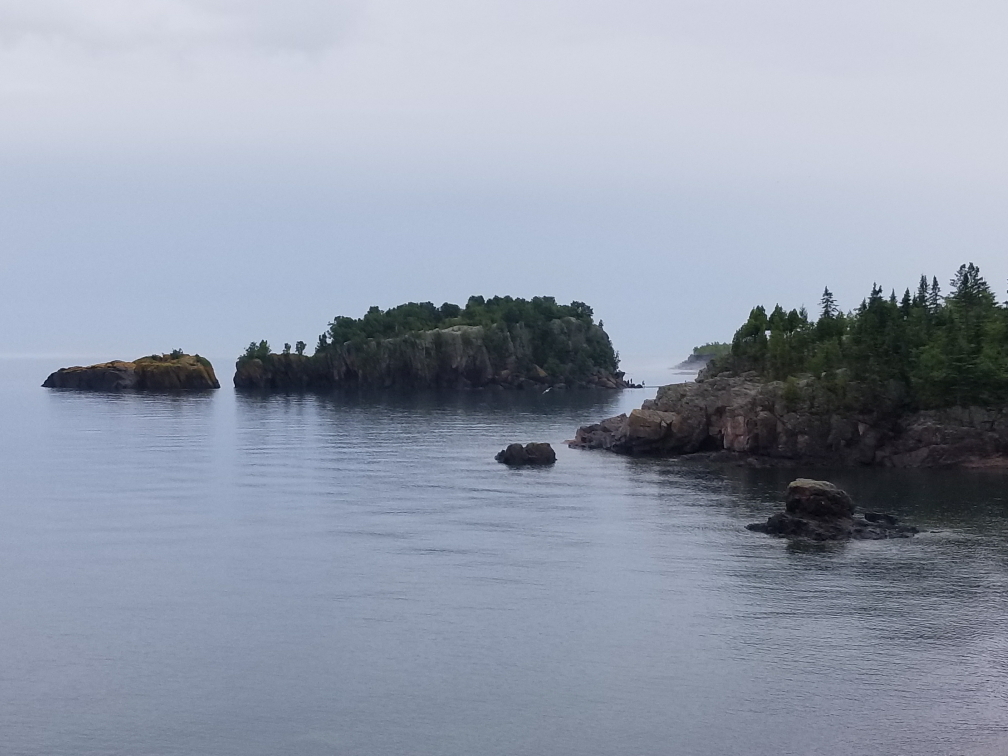
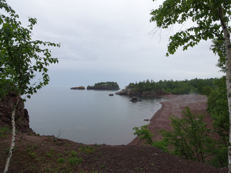
Driving east towards Lake Superior we passed the American Hockey Hall of Fame and some places dedicated to curling.  We arrived at Lake Superior near the town of Silver Bay.  We stopped at Black Beach to take some pictures and use the restroom.  It was nice though quite misty and rainy.  Hitting the road again we stopped by Cascade River State Park to do a hike to a waterfall but were unable to find the trail so decided to just hit the road again — definitely didn’t want to get lost!

Islands at Black Beach, Lake Superior

Islands at Black Beach, Lake Superior

Wide shot of the islands

Wide shot of the islands

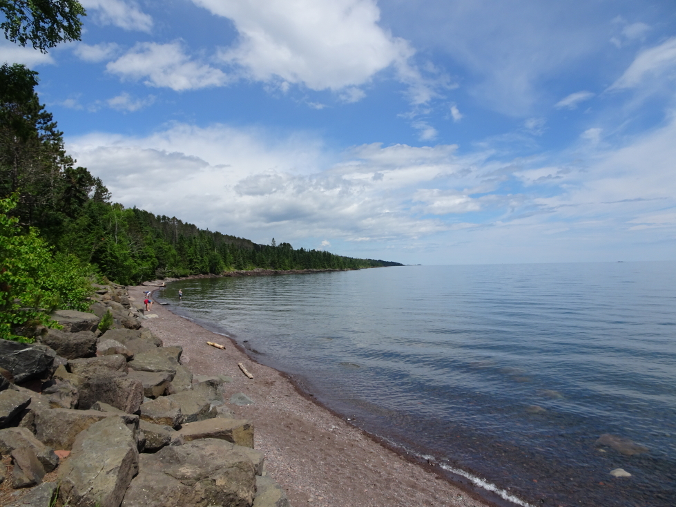
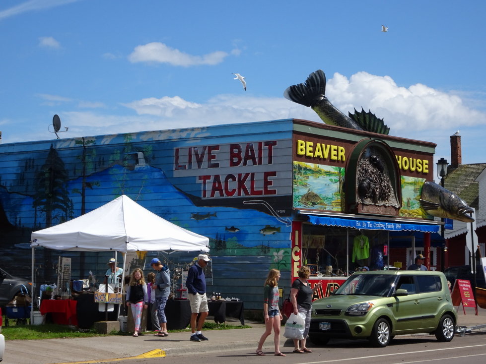
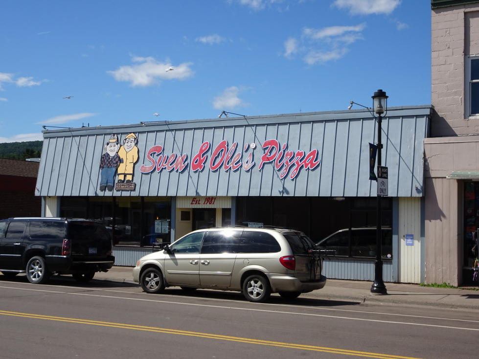
In the town of Grand Marais we visited Sven & Ollies, a local famous eatery, for pizza and hoagies at about 3p.  Addison had the hoagie and we all had an appetizer of cheese bread (nothing to write home about there, sadly).  We then visited World’s Best Donuts.  I so wanted to go in there and shout “Congratulations!” like in Elf but refrained.  We bought three glazed twists and two maple unfilled long johns.  Quite yummy!  I still think the title of World’s Best goes to our local bakery, however.  We bought a magnet there and hit the road at about 4p.

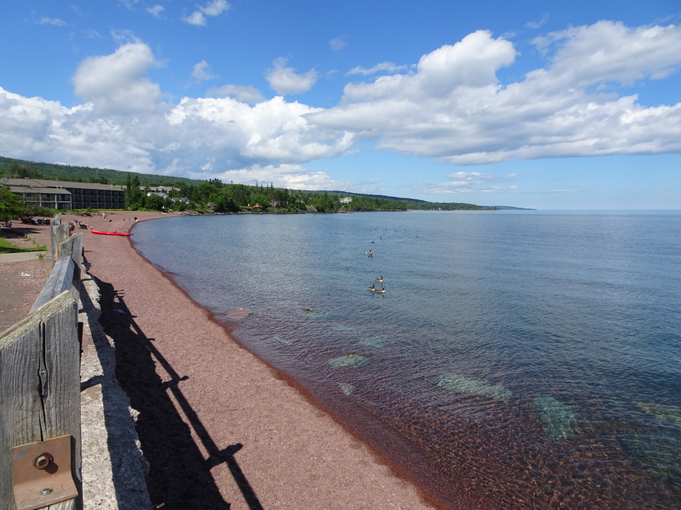
Lake Superior beach near Grand Marais, Minnesota

Lake Superior beach near Grand Marais, Minnesota

Beaver House in Grand Marais

Beaver House in Grand Marais

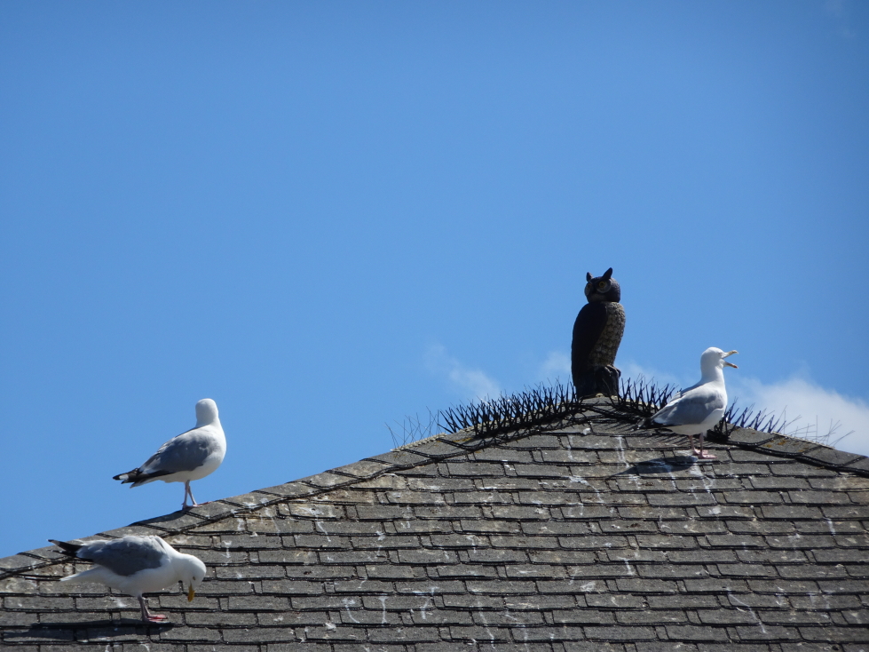
Heck of a job keeping those gulls away!

Heck of a job keeping those gulls away!

Sven and Ole's Pizza place in Grand Marais

Sven and Ole’s Pizza place in Grand Marais

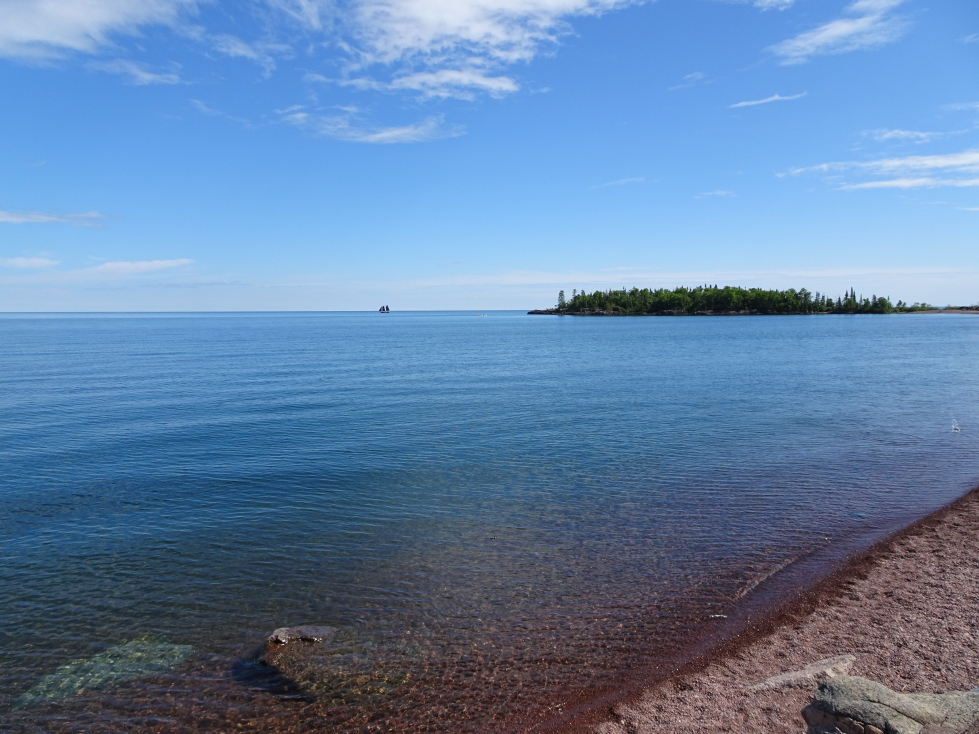
Lake Superior

Lake Superior

Lake Superior

Lake Superior

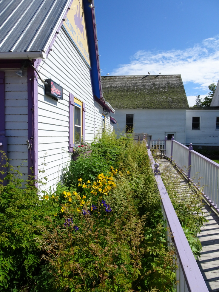
Flower festooned walkway in Grand Marais

Flower festooned walkway in Grand Marais

Turning inland from the lake along the Gunflint Trail we ascended the steep bluffs that line Lake Superior and drove just under an hour to the Hungry Jack Lodge, arriving just before 5p.  Along the route we saw a few pretty lakes and some amazing rod-like white, purple, and pink flowers.  By this time the weather had turned noticeably nicer — blue skies with puffy white clouds and a crispness in the air.  Perfect!

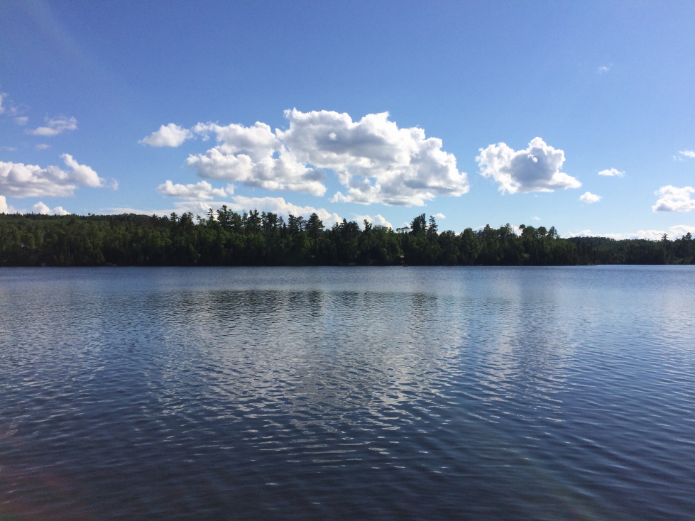
Beautiful lake along the Gunflint Trail in the Arrowhead of Minnesota

Beautiful lake along the Gunflint Trail in the Arrowhead of Minnesota

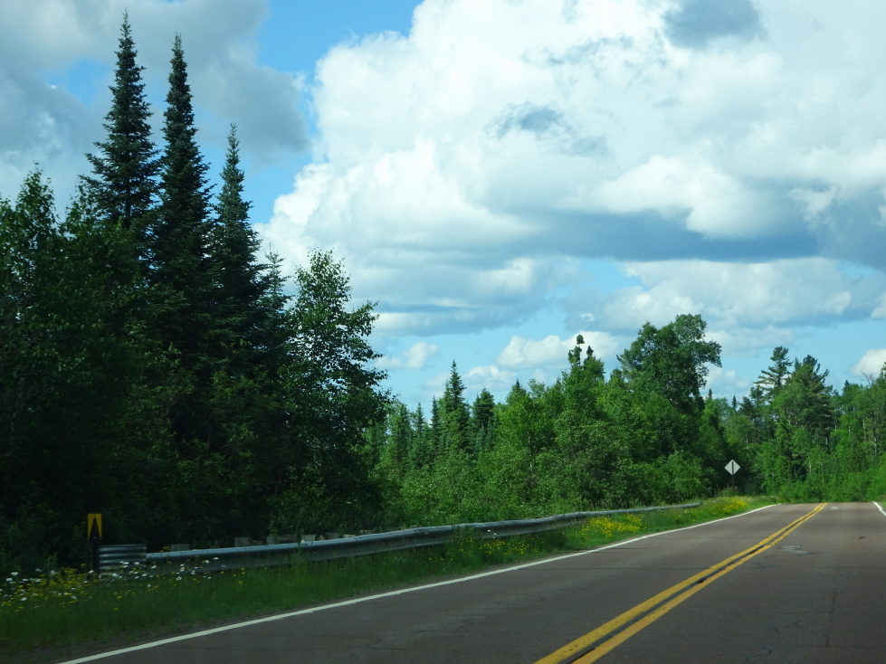
The Gunflint Trail, a two lane road into the interior of the Arrowhead

The Gunflint Trail, a two lane road into the interior of the Arrowhead

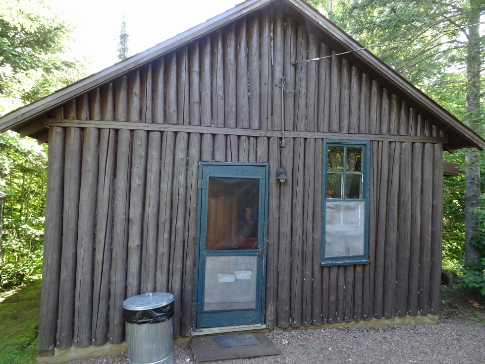
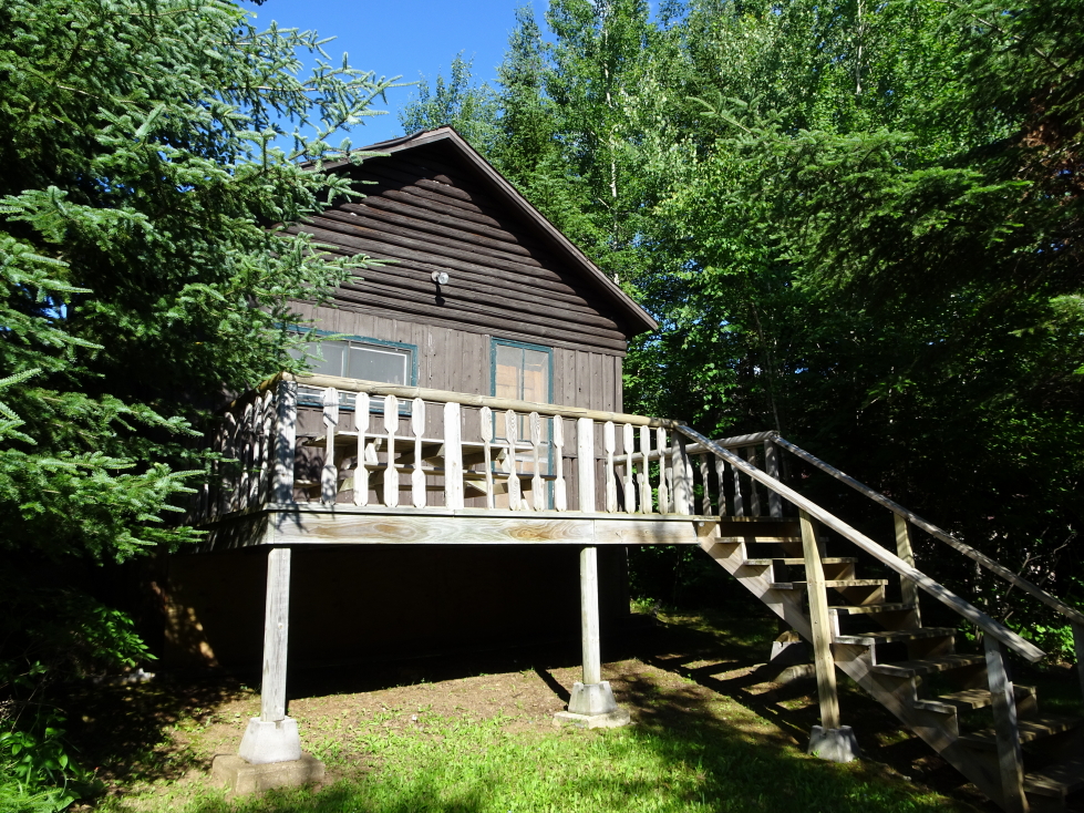
We checked in with the main lodge and were directed to our cabin, Lynx.  Very nice and reminded me very much of Gray Rock in the Adirondacks (though much smaller).  The water did have a sulfur smell, though, and the water heater was a bit… sketchy… but cozy and nice nonetheless.  Addison really dug it too!

Front of Lynx cabin at Hungry Jack Lodge

Front of Lynx cabin at Hungry Jack Lodge

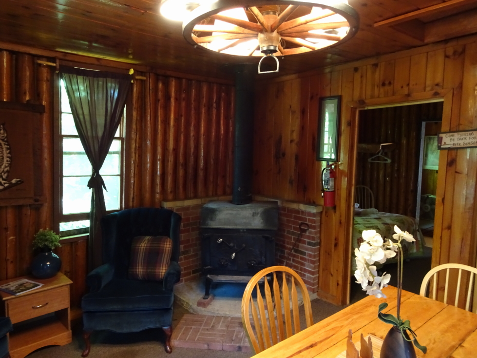
Main room of Lynx cabin

Main room of Lynx cabin

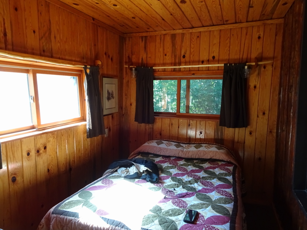
One of Lynx cabin's bedrooms

One of Lynx cabin’s bedrooms

Rear of Lynx cabin, overlooking Hungry Jack Lake

Rear of Lynx cabin, overlooking Hungry Jack Lake

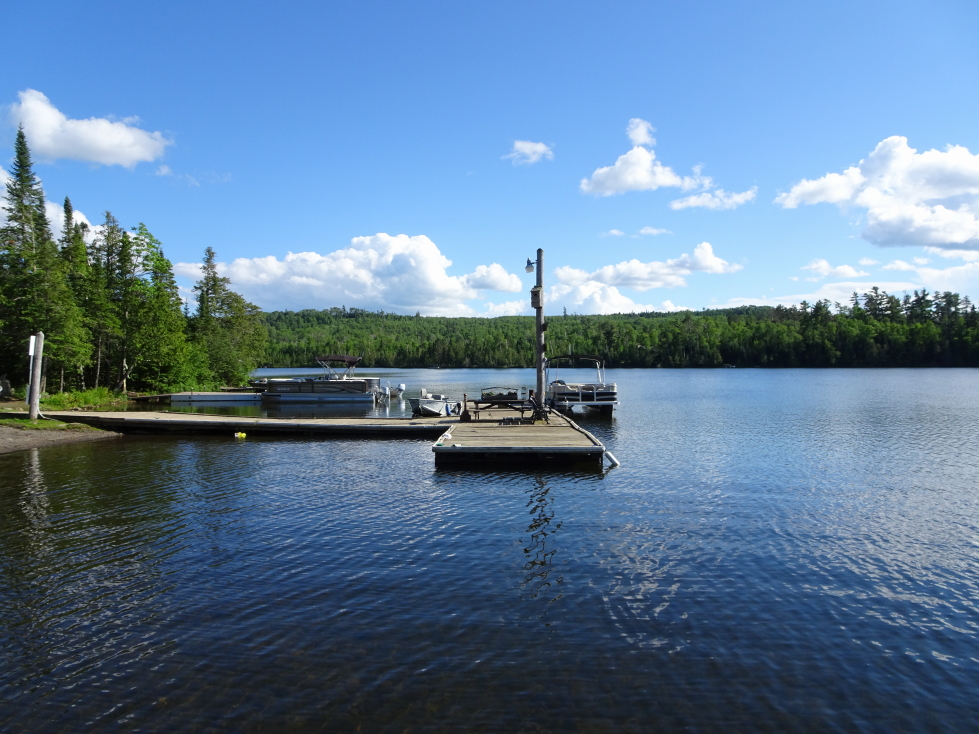
Addison and I went swimming off of our dock for an hour or so.  Despite the water being a bit cold we had a great time.  Neighboring cabins’ inhabitants were paddling canoes and fishing nearby.  As soon as I got out Genetta wanted to go swimming at the beach on the other side of the peninsula that the lodge was located on.  There, we waded out into the water then swam to a swimming platform.  On exiting Genetta went to a sauna while I hung about outside while drying.

Dock on Hungry Jack Lake

Dock on Hungry Jack Lake

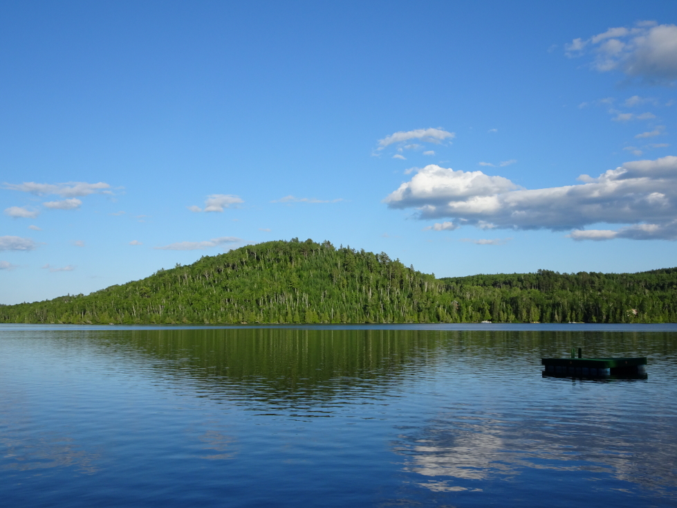
Hungry Jack Lake

Hungry Jack Lake

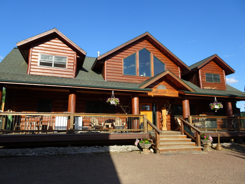
Hungry Jack Lodge's main lodge building

Hungry Jack Lodge’s main lodge building

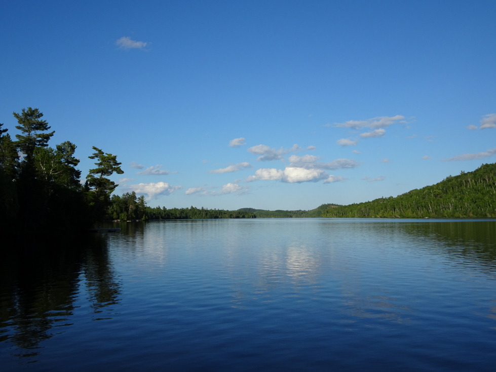
Another view of Hungry Jack Lake

Another view of Hungry Jack Lake

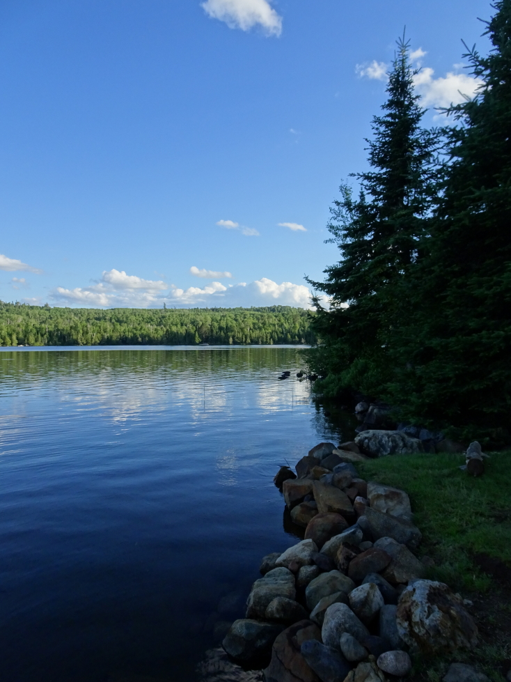
Beautiful evergreens lined Hungry Jack Lake

Beautiful evergreens lined Hungry Jack Lake

After showering we headed to dinner at the main lodge’s Logger Lounge around 8p.  The menus had the tale of the lodge on them — built in the 20s but thrice burned down, most recently about a decade ago!  Rebuilt each time, making the lodge the most modern on the Gunflint Trail.  Addison and I had a Forrest burger (basically a bacon cheddar cheeseburger).  I didn’t note what Michelle and Genetta had — Michelle seems to remember there not being a lot of choice (she’s right) and eating a hamburger or a BLT.  Ah, well, guess that detail is lost to history.  For dessert we had cheesecake chimichangas which were very tasty.

After a gorgeous sunset we headed back to the lodge and, as there was no decent Internet (the lodge’s wifi being a bit far from the cabin), went to bed about 10:30p.

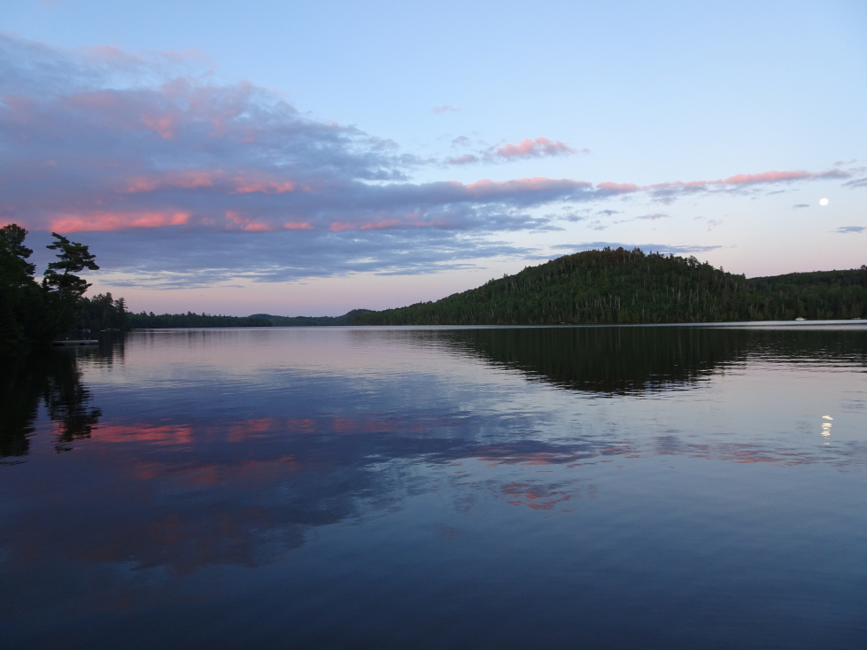
Sunset and moonrise over Hungry Jake Lake, Minnesota

Sunset and moonrise over Hungry Jake Lake, Minnesota

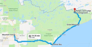
Route for Friday July 7, 2017
Route for Friday July 7, 2017
Older Posts »

Powered by WordPress