The breakfast at the Best Western in Chester wasn’t great at all — a shame, as the hotel itself, room, etc. was nice. Basically nailed the routine but failed to stick the landing.
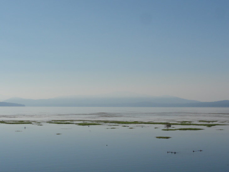
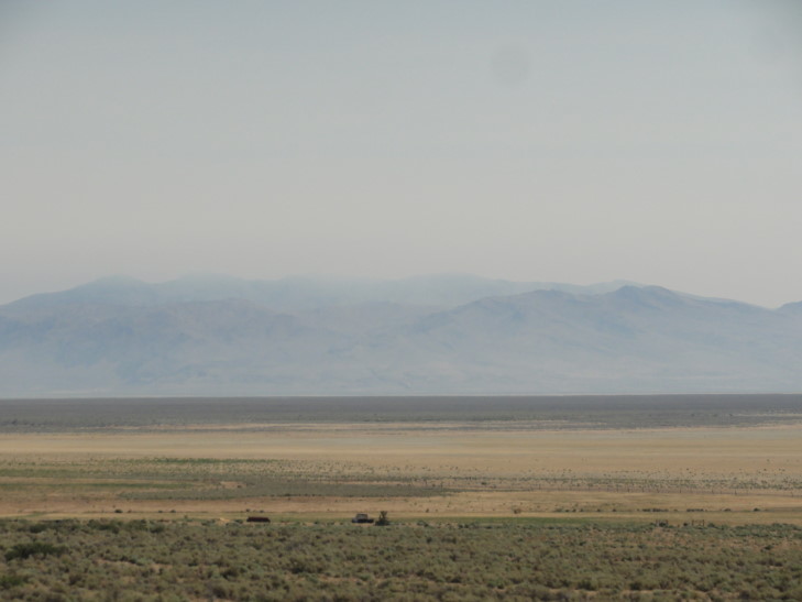
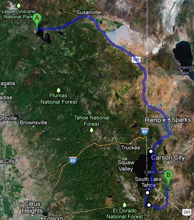
We set out east on route 36, catching a glimpse of the lake Chester sat on, Lake Almanor, shrouded in the morning fog. We went as far as Susanville where we gassed up and got some McDonalds. Turning onto 395 we headed to the south and east towards Nevada, passing a nearly totally dry Honey Lake. When wet it encompasses 73 square miles but at the height of summer shrinks to just 3,000 acres, leaving a salt flat for the rest.
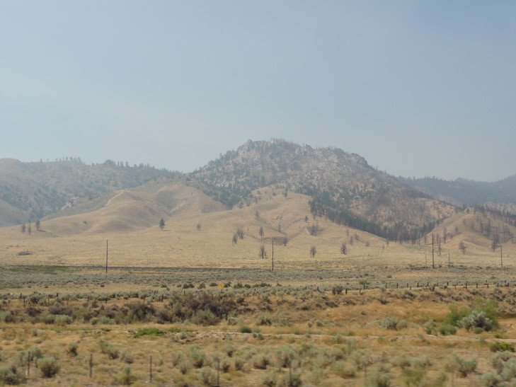
After passing Honey Lake we slipped into Nevada — no welcome signs or anything, ba humbug! We were shortly in Reno and the visibility was getting less and less, to the point where we could barely see the mountains in the distance. I suppose it was smoke from the Chips Fire.
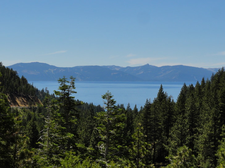
A bit south of Reno we took route 431 over the mountains to the west of Reno and into Incline Village. The road was quite steep and very curvy and to make it even more fun was under construction. But that’s not all! Apparently the PGA Tour was in town at Montreux, NV, further increasing traffic. I stopped and took a picture or two at vistas but there was an incredible view that I had to pass up on because we were constrained by construction traffic barrels. Ah well.
We drove through Incline Village and stopped at the visitor center. They pointed us to a delicatessen for lunch on the west side of town. Rather than go back through town (and fight the large amount of traffic) we drove back into the village via the road bordering the lake. What an amazing collection of houses, most behind gates and cameras! Many were for sale, though, but I’m sure they were well into the millions. The delicatessen, Dimaggio’s I think, was attached to a convenience store and wasn’t bad. I had a salami and provolone sandwich and a grape soda (yum!).
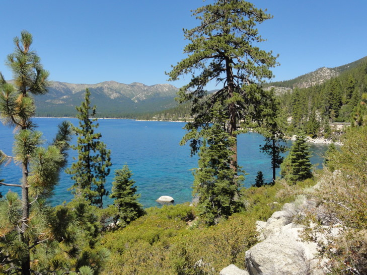
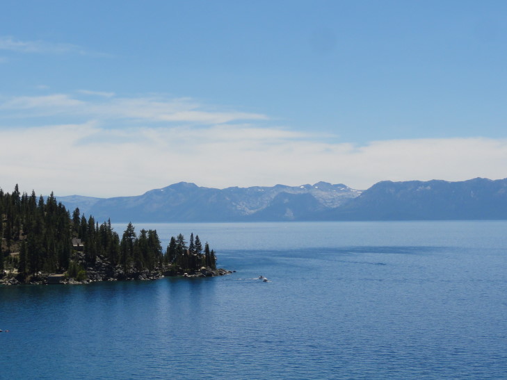
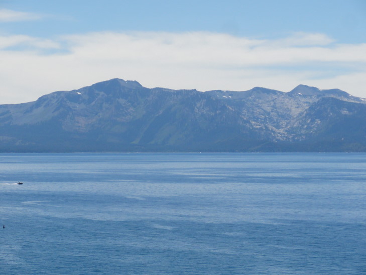
That done we headed around the east shore of Lake Tahoe on route 28. The lake was a beautiful blue, much like Crater (but Crater was better, I think), with gray mountains ringing it — some even with a little bit of snow left. We had heard that the best views of the lake were near Sand Harbor in Nevada’s Tahoe State Park so we set out for that. Unfortunately the lot was full and we were not keen on going all the way back to Incline Village to grab the bus service back to Sand Harbor.
We opted to continue on, stopping briefly at a vista first. There we learned that the lake was formed when two faults separated, leaving the crust in between them to sink down, forming Tahoe’s basin. Then, some time later, debris blocked the outflow from the lake via the Truckee River, raising the lake level by 600 feet. With that Lake Tahoe’s depth was around 1,645 feet, with visibilities of nearly 75 feet (about half what Crater’s was). Though a number of streams bring water in to Lake tahoe, only the Truckee releases water. One would expect the water to eventually make it to the Pacific but in reality it flows to Pyramid Lake, Nevada where it evaporates (well, the water that wasn’t already siphoned off for irrigation and the like).
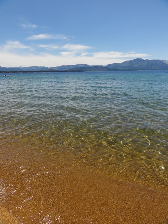
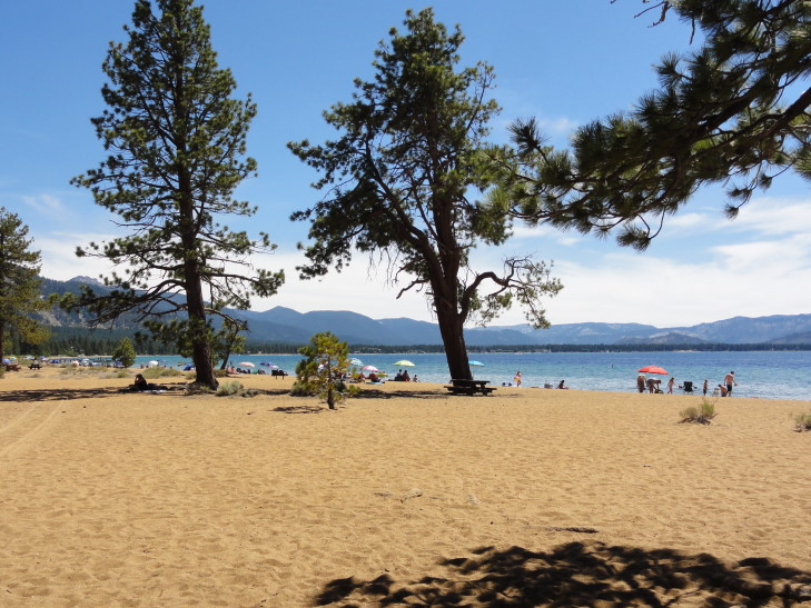
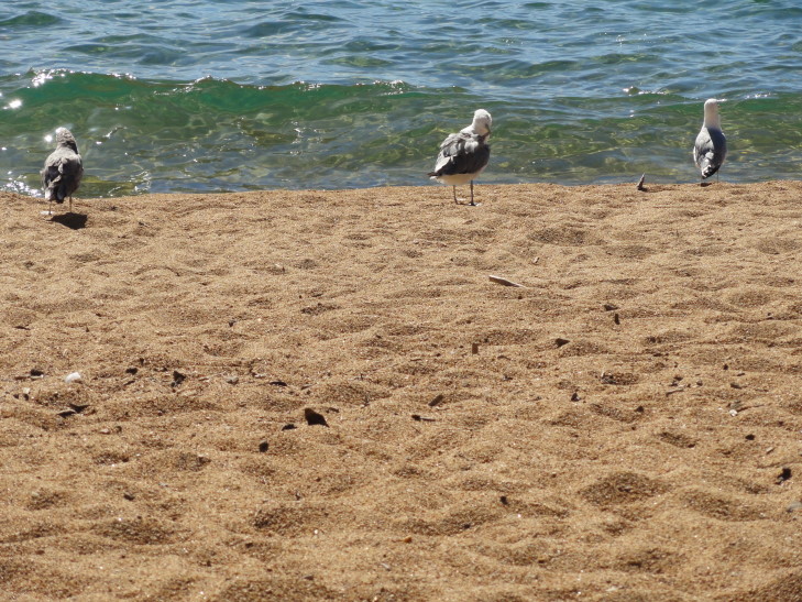
After the rest area we rode along route 28 and then merged with US-50. We ended up stopping at Nevada Beach and found a nice picnic table in the shade to enjoy the nice summer day (high in the mid-80s and a light breeze). The beach was a bit crowded but not too bad. Addison went back on forth on whether to swim or not and he and I just ended up wading instead. The beach was made of tiny rocks that hurt the feet when standing. The water wasn’t too bad, in the upper-60s, and we enjoyed getting wet. There were also a couple of seagulls that didn’t seem to mind having humans around at all.
After an hour and change we returned to the car and continued to drive past State Line, NV and into South Lake Tahoe, CA. The casinos went right up to the state line, to be replaced with hotels, restaurants, etc. on the California side. Just way, way too many people so we didn’t even bother stopping. We had considered doing the drive around Emerald Bay but it wasn’t a particularly easy drive the last time we did it (in the mid-90s) and Crater was prettier so we just passed.
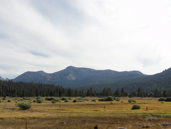
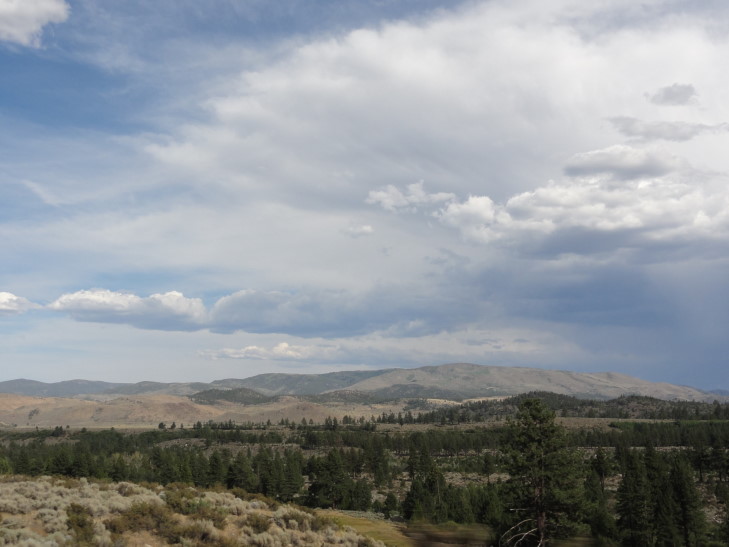
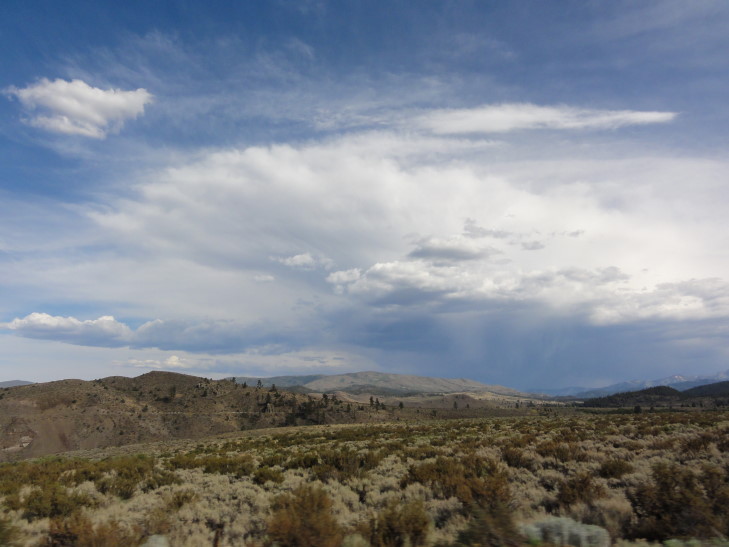
Leaving Lake Tahoe at South Lake Tahoe we just headed towards Minden, NV via routes 88 and 89 and Carson and Luther Passes. Much easier road than our trip in to the lake, staying much lower in elevation (though still 7,000 feet) and relatively straight compared to the earlier route. The vegetation also became more and more sparse as we neared Nevada and a thunderstorm was in the process of blowing up. It was kind of nice seeing some clouds — we’ve had freakishly good luck weather-wise with many clear days.
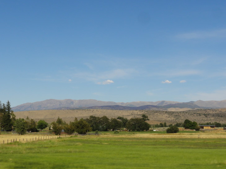
In Nevada the road became flat and straight as an arrow as we headed north through the Carson Valley towards Minden. There were many farms (and many of them for sale) and it was hard to believe that such a lush valley sat only miles to the west of the inhospitable terrain found a bit to the east.
We checked into our hotel and immediately crossed the street to the Wild Horse Saloon and Pizza Co. where we had excellent homemade potato chips and burgers and chicken sandwiches. Yummy!
Back at the room we went swimming in both the pool and the hot tub for an hour or so. Genetta and Addison both swam excellent laps while Michelle and I relaxed. Back at the room they went on to bed while I blogged. Early day tomorrow — Yosemite!
