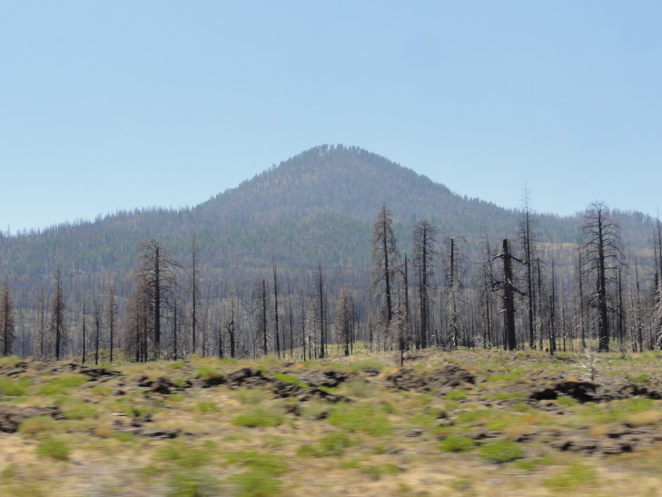
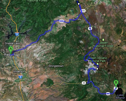
Woke up and ate breakfast buffet at the restaurant attached to the Best Western. It was quite good compared to the similar Holiday Inn Express fare. Got some sweet tea (with very little ice — rationing?) and gas and headed east on route 299 towards Burney. The way was a bit curvy and there were a number of rises and falls, but it was a very pretty route. Some fields we passed were strewn with large chunks of volcanic-looking rock, likely hurled from the nearby volcanoes long ago. The brush, bushes, and trees looked very, very dry.
We passed the town of Burney, which incidentally seems like tempting fate in an area that gets frequent wildfires (two very active ones in the area, one near Mount Shasta and another near Chester that’ll be mentioned later). Just beyond it was a four way stop that had not only many blinking red lights but also a long series of rumble strips to draw attention to the intersection. I wonder what terrible tragedy hit that intersection for them to be that cautious. Turned left onto route 89 towards Burney Falls.
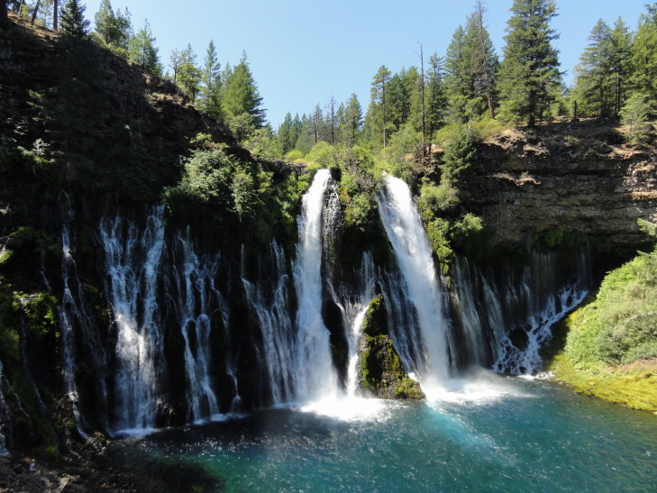
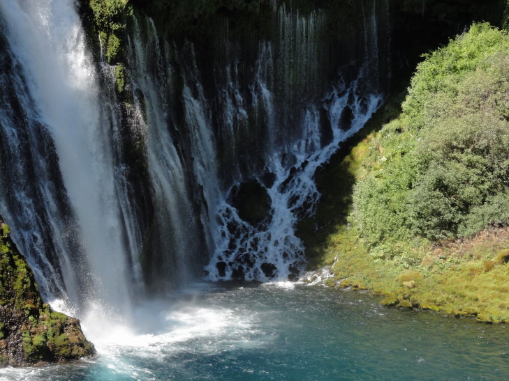
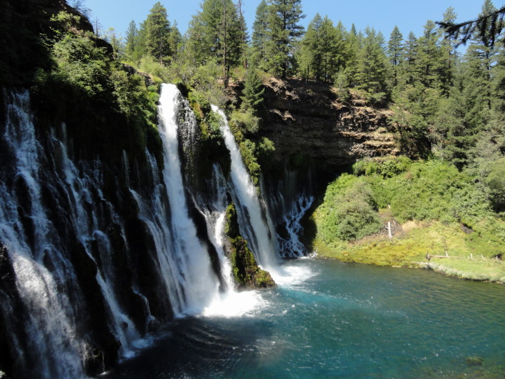
Burney Falls is gorgeous! The source of the falls is water from Burney Mountain some fifteen miles away. Water from the mountain (rainfall and snow melt) stays underground until just three-quarters of a mile up from the falls where most of it is forced to the surface in the form of a creek. Meanwhile, just 20 or 30 feet below, the rest of the water remains underground in a reservoir. The creek cut into softer rock forming a narrow falls. Eventually the waterfall advanced such that the underground reservoir was exposed to and resulted in a wide swatch of smaller, lower volume falls that start lower than the creek’s falls. The falls are 129 feet in height and empty into a 22 foot deep pool that is a gorgeous blue.
In addition, the temperature around the falls is much cooler than that of the surrounding area by 10 to 20F at least (that’s me just estimating). That and a steady moisture source in the mist leads to the environment of the falls containing plants normally not found in the area but rather more like those found in the coastal regions of California.
We took a trail down to the base of the falls and spent many a moment just enjoying the cool air, the wonderful sound of the water crashing into the pool, and just taking it all in. Reluctantly we headed back up the trail and to our cars, starting the trip down 89 to Lassen Volcanic National Park.
There was evidence of fire damage in the Lassen National Forest land to the north of the park. As was explained to us in Crater Lake National Park, national forest land is managed differently than national park land, in that they treat the forest as a cash crop. Though they are slowly coming around to the national park system’s view of forest management their forests are still more vulnerable to devastating forest fires. While forest fires on national park land will often smolder for long periods of time they rarely flame up and destroy the trees as well, whereas national forest fires are more likely to do just that.
We stopped for lunch at a place called JJ’s Cafe (I think) about fifteen miles short of the northern entrance to the national park. I had a pastrami melt and a salad and the others had sandwiches and burgers as well. Decent food and good service. Full, we headed into the park around 2 o’clock, a bit later than I had hoped. This happened with the other vacations as well — as it gets later in the vacation we’re all getting just a bit more tired and losing a bit of pep in our step. Oh, well, not much to be done about that.
We stopped at the visitor center and learned a bit about the park. The park actually has examples of each of the four types of volcanoes (dome, plug, cinder cone, and strato) and also has three of the four thermal features (fumaroles, hot springs, and mudpots — lacking geysers). The presence of these features means that the area is still active volcanically, though the last eruption was in 1914 and 1915. It was those eruptions, in fact, that prompted the land finally being incorporated into the national park system.
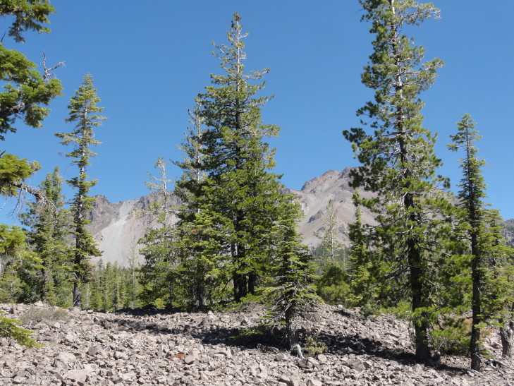
One thing that impressed me greatly about the vegetation in the park was that it was able to grow in seemingly the most inhospitable environment. Whether it was fairly large trees growing among fist-sized and larger rocks, or in what appeared to be an ash field, I remain amazed at the resilience of nature.
Along the drive through the northern half of the park we saw a couple of really interesting things. There was a 300-ton boulder that was a “hot rock” that triggered an avalanche by melting the snow rapidly, the avalanche then carried the rock five miles away from Lassen. After the May 19th, 1915 a man by the name of Loomis was surveying damage on the 22nd and, luckily for him, did not tarry in the area — for mere hours later a much larger eruption took place that obliterated the area he was surveying. He also got a series of six photographs of the eruption. A man affected by the mud and debris flow, or lahar, of the May 22nd eruption ran three miles to warn homesteaders further away of the impending danger. Though they lost their homes not a single life was lost.

Three hundred-ton "hot rock", moved five miles from the eruption by an avalanche, hot to the touch for days after eruption
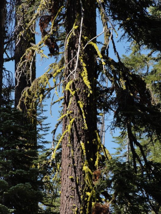
Another thing we saw was a lot of the trees in the northern part of the park were covered in lime green moss, or lichen, or whatever. Not just the trunks, but in some cases all of the branches. No idea what it was but it was oddly pretty.
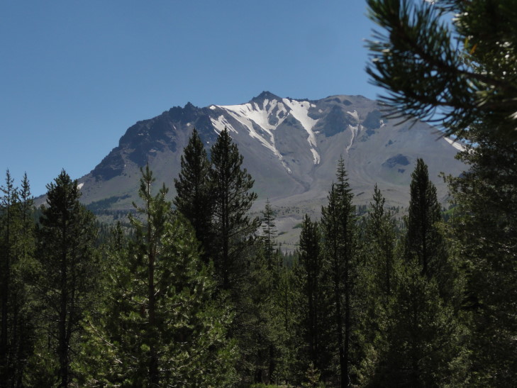
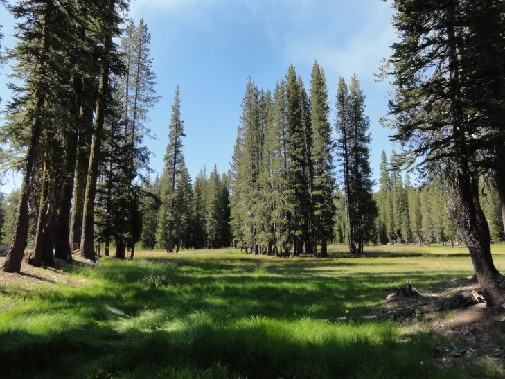
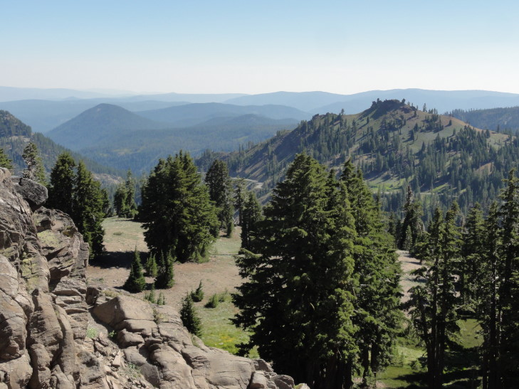
As we neared the center of the park near the base of Lassen we gained elevation. The trees got smaller and smaller and the ground a bit rockier. There also were more meadows and such. The ground was covered with rocks, some dead trunks, and the most amazing varieties of wildflowers. Excuse me while I reveal my total ignorance in this regard by just saying there were purple flowers, yellow flowers, green ground cover, this odd whitish-gray ground cover, etc. Regardless, the place was definitely a photographer’s dream… or curse. It seemed like every minute arrangement of rock, tree, and flower was worthy of a picture or two.
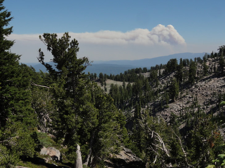
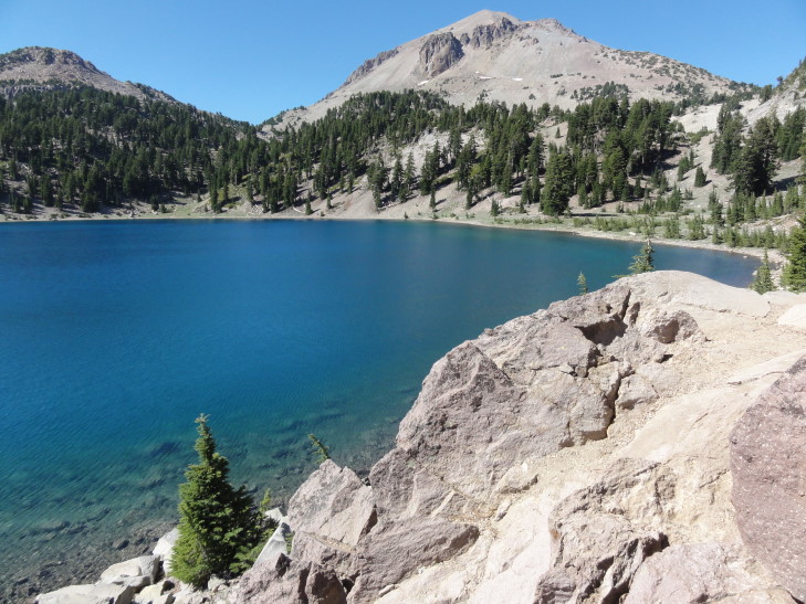
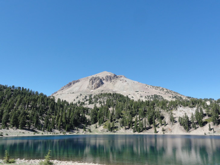
Off in the distance we could see the massive smoke plume from the Chips Fire west of Chester (our destination for the night). As it was a cloudless sky it really stood out. There were also a couple of lakes around the base, deep blue and reflecting their surroundings.
Just past the lakes and the trail head up to Lassen’s summit (not fully open yet) was the trail head to an area called Bumpass Hell. A moderate three-mile walk that ended in a sixteen acre or so area of fumaroles, hot springs, and mudpots. We dithered a bit about whether or not to take the walk but I finally realized it just wasn’t the brightest idea — everyone was tired, it was already past four (which means we wouldn’t be done until seven or so), and we didn’t have much water at all. Plus we saw all of those features in greater quantity and quality during our trip to Yellowstone in 2010.
Why was it called Bumpass Hell? Despite it being amusing for containing two curse words (something Addison and I relished), it came from a cowboy with last name Bumpass that stumbled onto the site in the 1860s. Not only stumbled onto, but into, in that his leg broke through the crust and was broken. He made it to town and called it “hell.” A newspaper editor, however, convinced Bumpass to take him to the site — whereupon Bumpass again broke through the crust and this time had to have his leg amputated. Ouch!
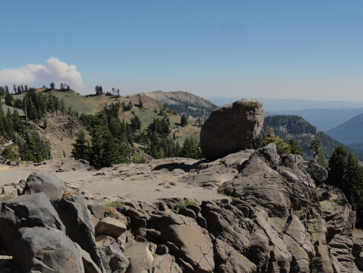
Regardless, from the trail there were a few pretty vistas and a cool free-hanging boulder. So it wasn’t a total loss. We piled back into the car and began the descent from the highest point on the park’s road, about 8,500 feet, on down to lower elevations.
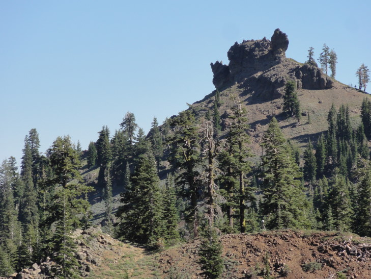
Along the way we passed several peaks that had once been ridges of a much larger volcano (about 11,500 feet high) that erupted about 400,000 years ago. One of those was Diamond Peak, which had a really interesting jagged rock formation at it’s top.
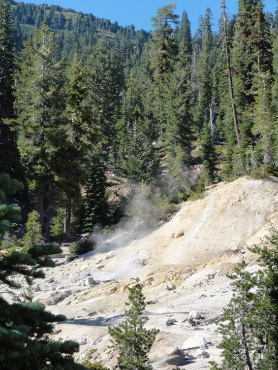
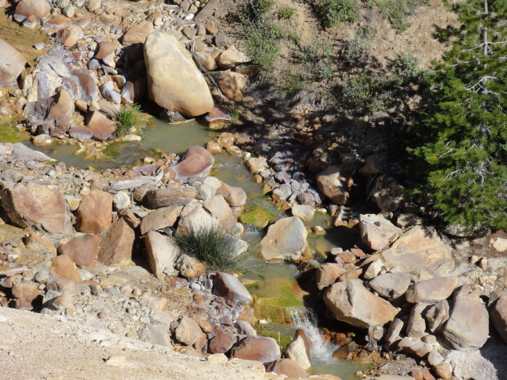
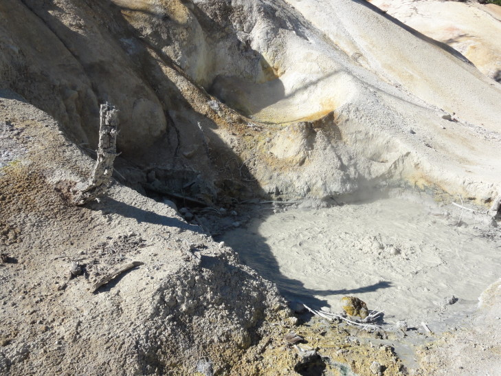
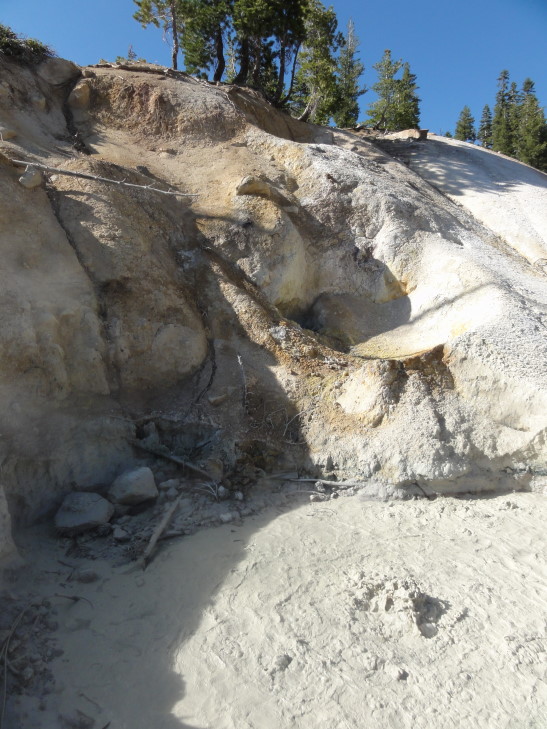
Just before exiting the park we came upon Sulphur Works and Little Hot Springs Valley. Though much, much smaller than Bumpass Hell they contained some fumaroles, a mudpot, and some hot springs. It was cool (if a bit icky) to smell the rotten egg smell again, bringing back memories of Yellowstone. That and the heat from the sites. I loved the slight hissing sound as well as the constant gurgling of the mudpots. Really amazing (and a bit scary) to think of the magma pool below driving all of the thermal features.
On the way out of the park we stopped for our customary magnet and headed to Chester via route 89. We got into town about 6 o’clock and, after quickly checking in to our hotel (another Best Western, though at least this one wasn’t as motel-ish), headed to Mexican food at a place called Maria’s. It was good, I had the chorizo nachos (basically nachos with spicy sausage) and Michelle’s chicken flautas looked really tasty. Afterwards we went for some ice cream then returned to the hotel where we watched the Olympics, played Sorry! (the hotel had some games available to play), and blogged.
