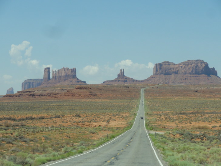
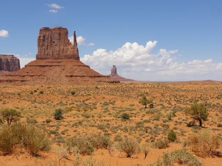
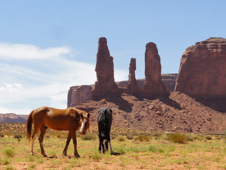
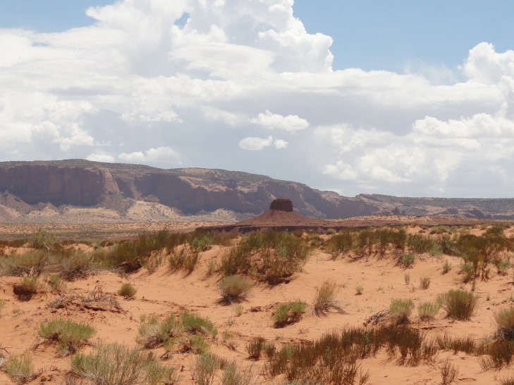
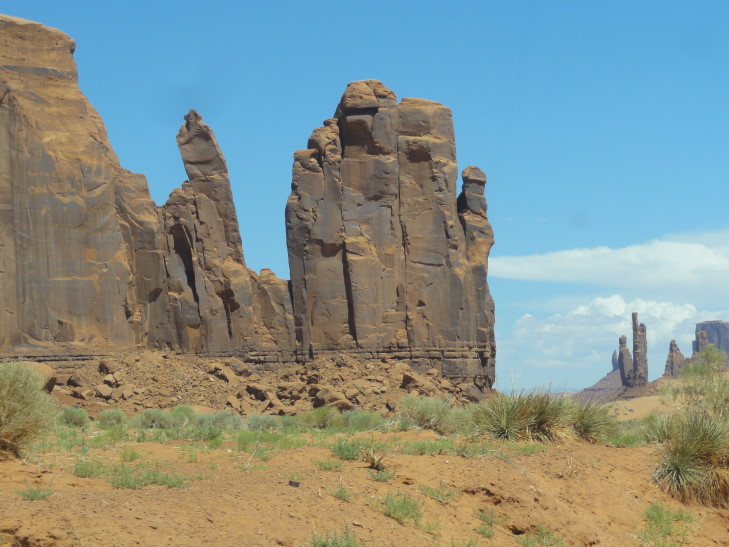
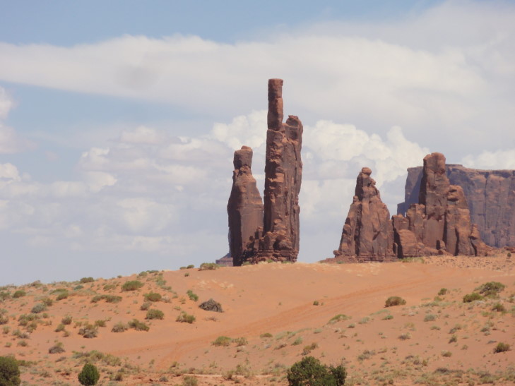
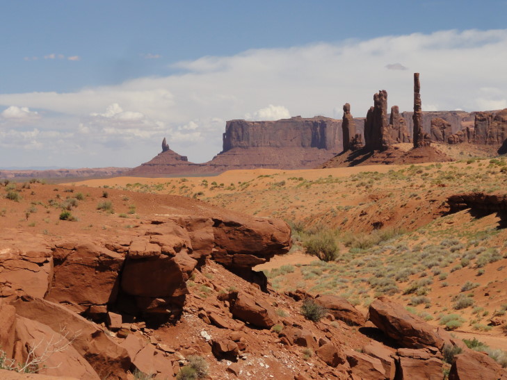
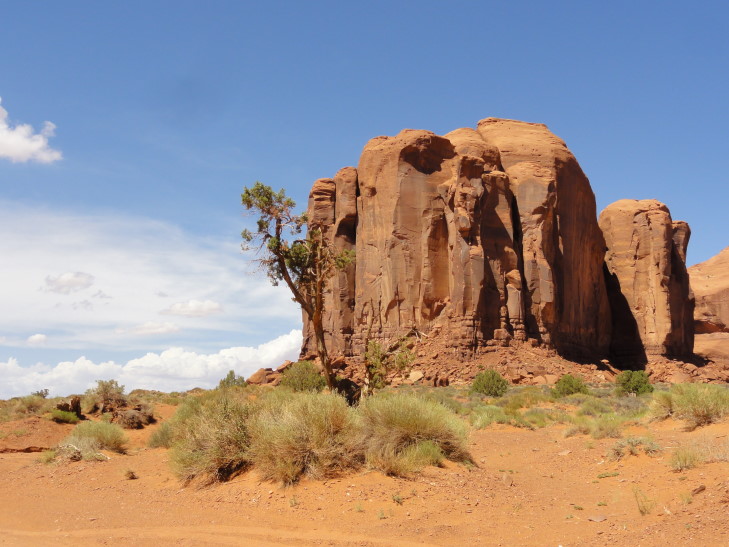
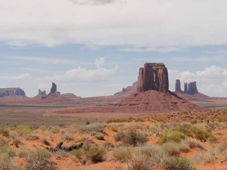
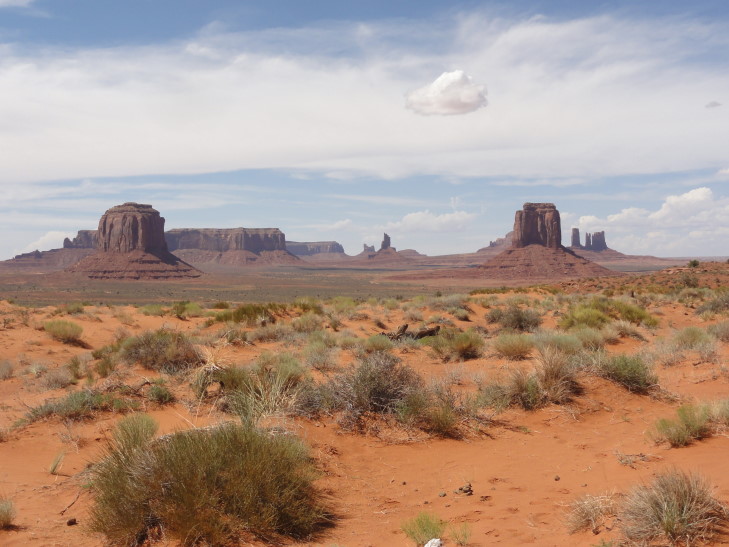
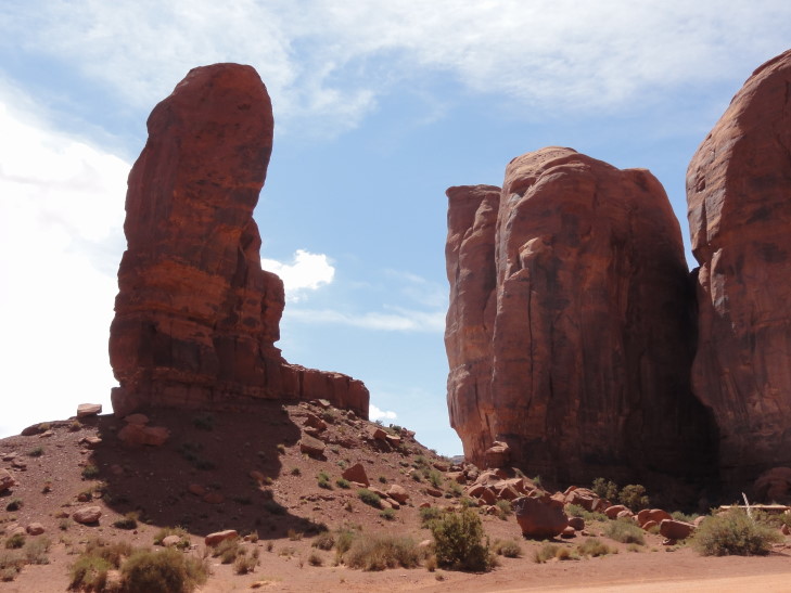
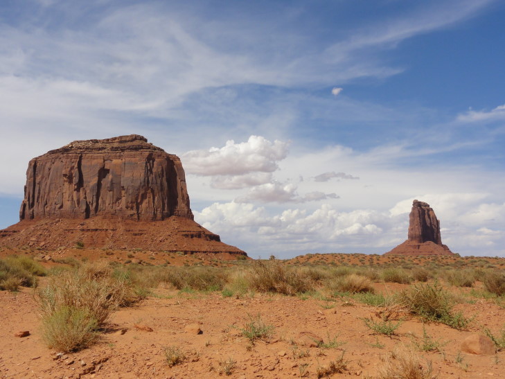
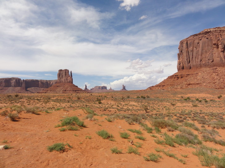
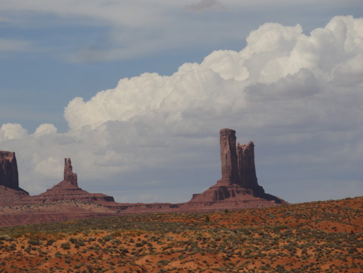
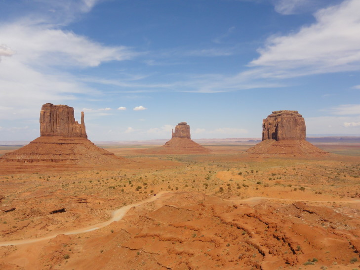
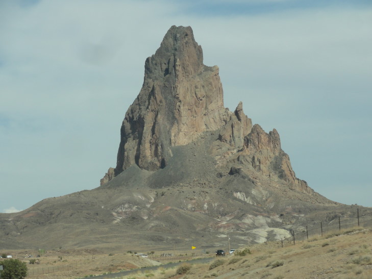
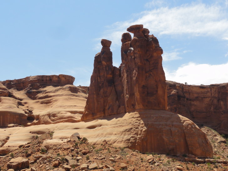
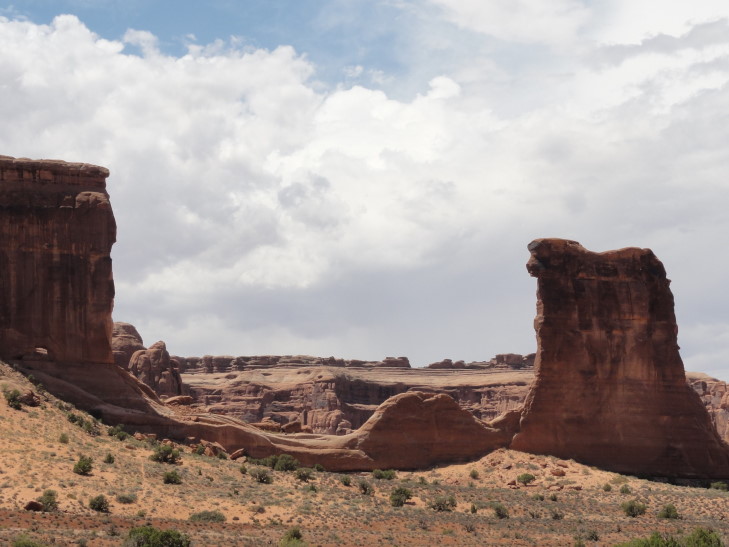
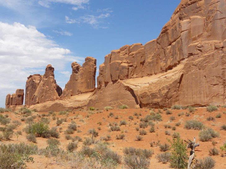
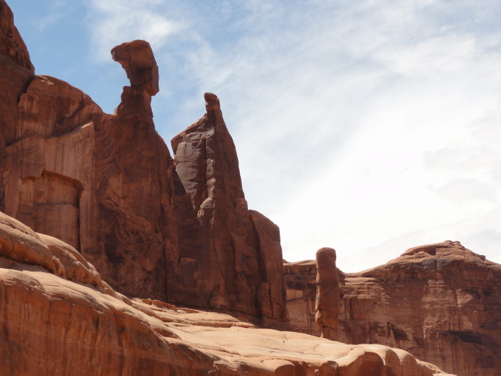
We woke up and headed to McDonald’s for breakfast as the hotel did not have free breakfast and the restaurant hadn’t impressed us the night before. We then piled into the car and drove east on route 160 (Indian route 12, it turns out — though I was never able to get a good picture of that sign despite my best efforts) away from Kayenta towards the Four Corners. The land was mostly scrub land suitable for ranching and such. Saw many trailers and also traditional hogans scattered about. Despite being a bit hot and dry I couldn’t imagine waking up to such beautiful scenery every day. We passed a school and their mascot was the “Redskins” which surprised me in light of the controversy over the Washington Redskins’ name — though I totally understand where they are coming from.
Shortly before Four Corners I entered my 41st state (41st for Michelle as well, 39th for Genetta — lacking Ohio and Texas, 40th for Addison — lacking Texas). Now I only lack Alaska, Hawaii, Michigan, Wisconsin, Minnesota, North Dakota, Iowa, Kansas, and Oklahoma. I’ve joked with Michelle that once the kids are gone we’re doing a big route from San Antonio all the way up and then across to Chicago to knock out the seven remaining lower forty-eight. She thinks I’m joking. It’s that or convince my bro to go tornado chasing (with professionals, of course) sometime and knock out a slew of those Plains states.
I was actually surprised by the Four Corners. I knew it wouldn’t be much — after all, it is just a spot where imaginary lines meet on a map — but what was there was done pretty well. We paid our $12 fee ($3 per person) to the Navajo Nation to enter. There was a metal disc on the ground where the state borders come together and slightly darker rock radiating from the four directions away from it delineating the state borders. Flags flew in the appropriate places. There were also four elevated platforms where people could take pictures of their loved ones doing all sorts of silly contortions to be in all four states at once. I saw people doing moves that would make Twister players proud, people facing each other from all four states, you name it. The amazing thing was the civility of it all. People queued up on the Arizona / New Mexico line (the direction of the entrance) and didn’t jostle, fuss, and what not — giving everyone ample time to do whatever stupid stuff they wanted to. Amazing, it was like I was in England with such respect of the queue.
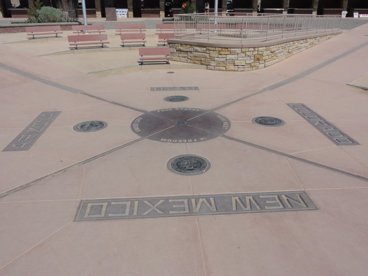
Four Corners
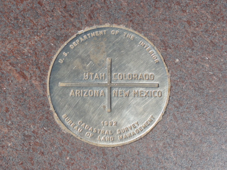
Four Corners disc
Around the spot were arrayed permanent fairgrounds-like stalls that provided shade for the merchants. We bought a few things — magnets (of course!), a pair of earrings for Genetta, a hair tie for Michelle, etc. Nothing too fancy and all pretty reasonable. I got a little pot made by a Navajo merchant’s daughter — she explained to me what all of the symbols on the pot were and that the money helped her daughter care for her dog. Great sales pitch, how could I not buy it at that point? It was tiny, though, and quite reasonable — I’d have bought it anyway. Each of my three previous trips I’ve gotten a little trinket beyond the magnets we get everywhere. Our 2010 trip I got a poker chip from Deadwood, South Dakota. 2011 I got an Inuit carving in the shape of a Inuksuk. 2012 was a “jade” carving of a Chinese dragon bought in San Francisco’s Chinatown. This is my 2013 trinket.
We left the Four Corners and headed east on 160 again, traveling across the arid extreme southwestern corner of Colorado. We passed through Ute Mountain tribal land and their casino and on to Cortez. Since it was about noon and we were running late already we opted for faster food than normal but not a typical fast food chain. We ate at a place called Jimmers Backwoods Barbeque. No idea if it is a local chain or what-not, but we enjoyed it thoroughly. The beef brisket was quite great. Just as we were leaving it rained (five of six days so far!) but it cleared up pretty quickly, by the time we hit Mesa Verde only nine miles further east down the road it was well over.
At the bottom of the mesas that form Mesa Verde National Park stands the Visitor Center, a really neat building architecturally. Inside we signed up for a tour of Cliff Palace at 5:30p. That was the earliest we could get and it is a good thing we ate fast in Cortez or we’d have missed the last tour of the day at 6p. We ruled out doing Balcony House because it required a twelve foot crawl through an opening eighteen inches wide — uh, say what?! No way I could do that, that’s like a recurring nightmare of mine. The center also had a gift shop (where we got our obligatory magnet) and some high-level exhibits about the place, such as that there are 5,000 archaeological sites there (600 of which are cliff dwellings) with the oldest from the 500s AD and the latest around 1300 AD. Initial inhabitants had been hunter gatherers and lived in the cliffs’ alcoves. In short order they moved to the mesa tops and farmed as well as learned pottery and the bow and arrow. There they lived in pit houses and pueblos. Then, about 1200 AD they moved back to the alcoves and build cliff dwellings for about 100 years before abandoning the site for points south. Nobody knows for sure why they left, some argue environmental factors such as drought others that sometimes a people just feels it is time to move on. The mesas kept their treasure hidden for nearly 600 years when, in the late 1800s, it was found by cowboys searching for strayed cattle.
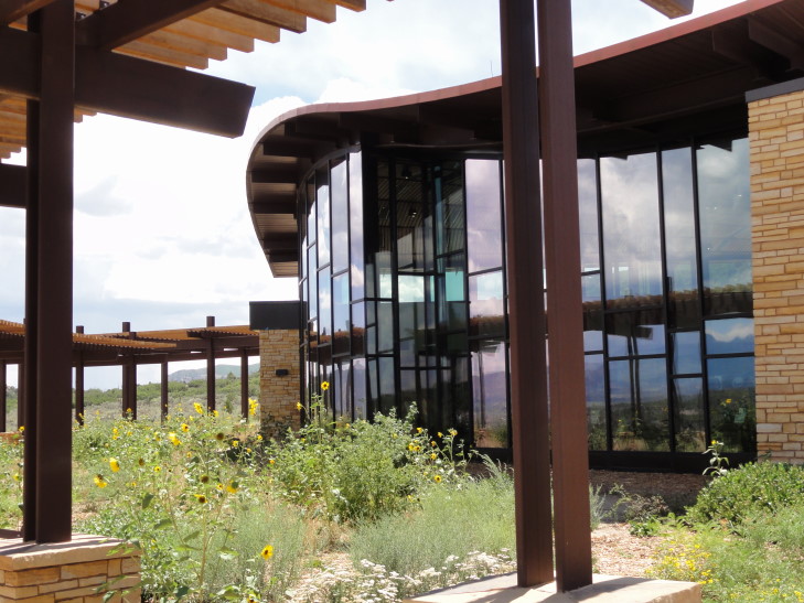
Mesa Verde National Park visitor's center
Left the center and drove up the steep and windy road to the mesa top, admiring spectacular views along the way. Once at the mesa top we stopped at the Farview cafe to get some coffee for Genetta and lo-and-behold they had coffee ice cream — something I could not resist. Oh well, vacation eh? Satiated, we drove on the Mesa Tops loop road and saw several sites. First up was a pit house from about 575 AD, representing the earliest mesa top settlements. Then we saw a site called the Square Tower House built into a cliff face. It is the tallest building in the park and could be toured until this year when it was closed to do some preservation work. Typical, it is a gift I have — wherever I go is under restoration. Next up was a site where three villages had existed, each built on the prior one. That had a beautifully excavated kiva.
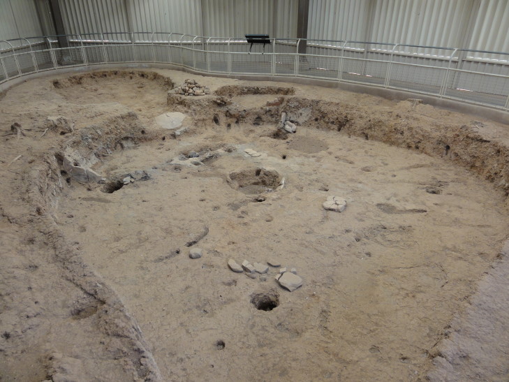
Pit house built c. 575 AD, Mesa Verde National Park
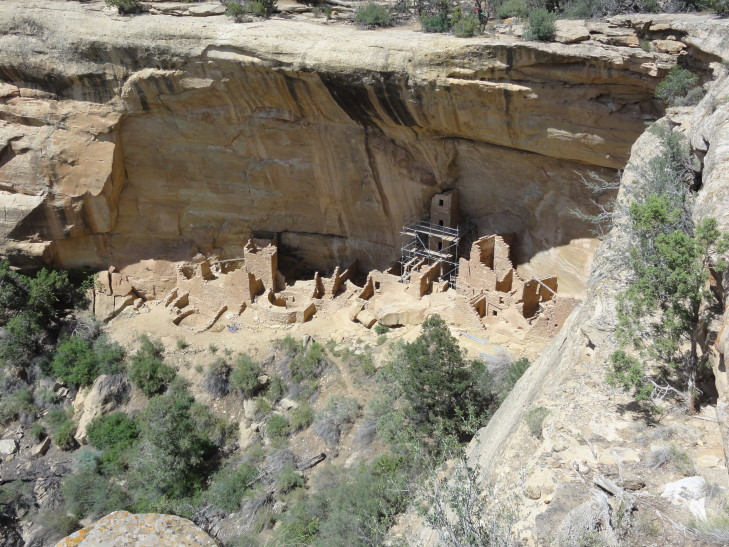
Square Tower House
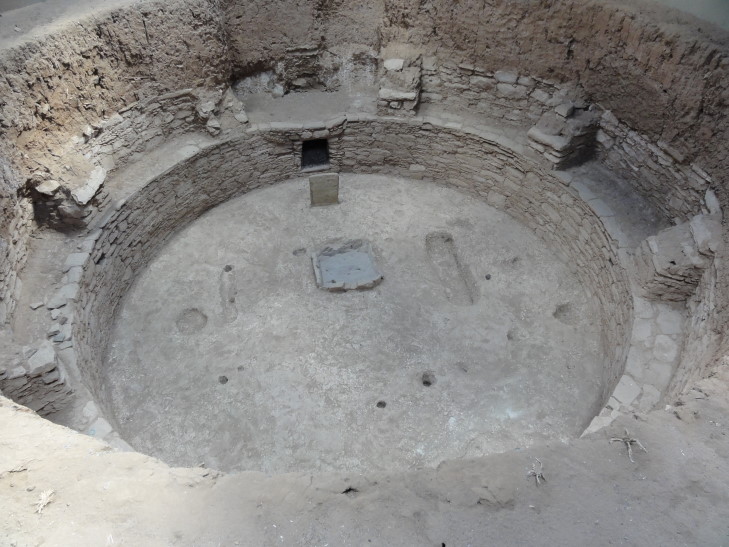
Kiva excavation on top of Chapin Mesa
A bit further on the loop was a viewpoint from which several cliff dwellings could be seen: Sunset House, Mummy House, Temple of the Sun, and a look at Cliff Palace, the largest of the dwellings, in the distance. Amazing that people were able to survive — and thrive — in them, given the difficulty in getting in and out of them. Lastly, we visited Temple of the Sun, a site that the experts theorize may have involved a multi-community effort to build. They aren’t sure what purpose it served but it was built late in the period that the mesa was inhabited and seemed to have been designed with defense partly in mind. Interestingly the tops of the walls were sealed with a thin layer of concrete to prevent further erosion and also create convenient paths for researches to follow when trying to explore the ruins.
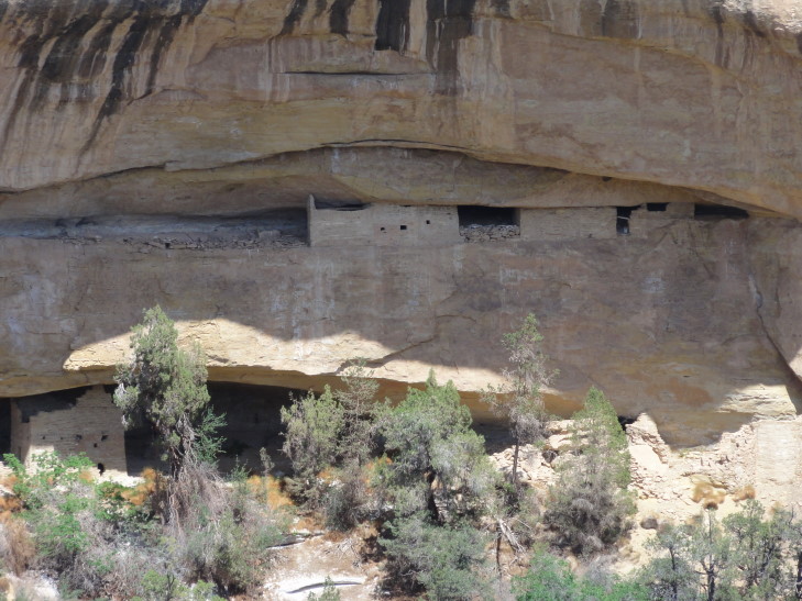
Sunset House, Mesa Verde National Park
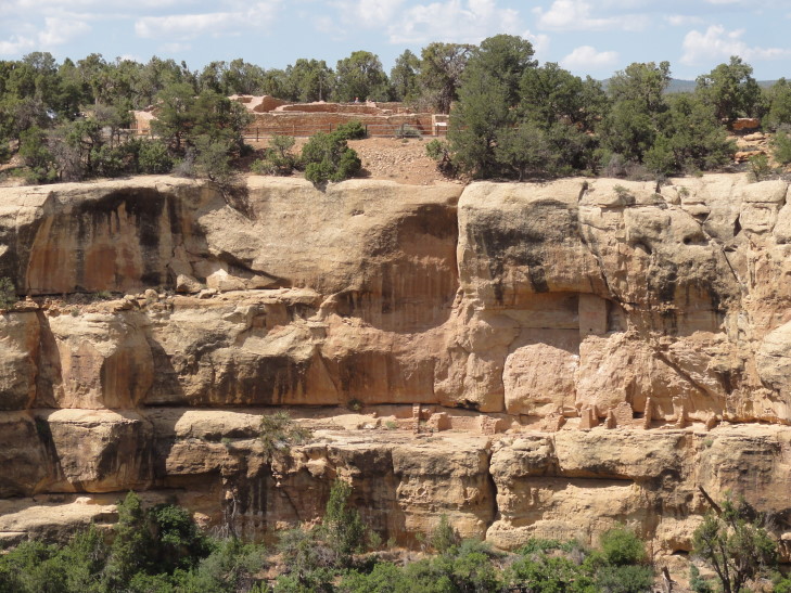
Mummy House below, Temple of the Sun above on the mesa top
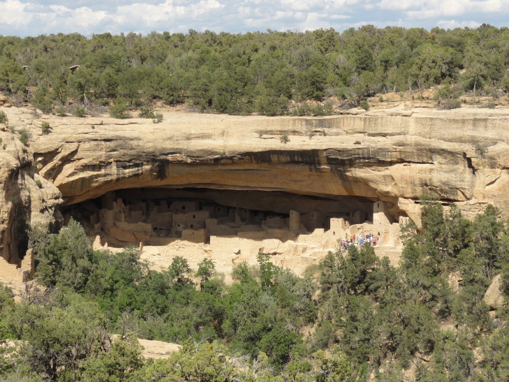
Far view of Cliff Palace, Mesa Verde National Park
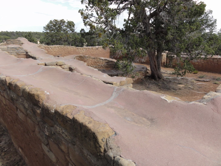
Temple of the Sun ruins with walls capped by modern concrete for preservation
Exiting the loop we visited the Chapin Mesa Archaeological Museum and watched a ten minute video about the mesa and its former inhabitants. I had forgotten that Mesa Verde is not only a National Park (and the only one dedicated to preserving archaeological sites) but also a World Heritage Site. The museum also had several artifacts on display and some nifty dioramas showing the progression of structures in the area from pit houses to cliff dwellings. We then went outside with the intention of doing the self-guided tour of Spruce Tree House (only a quarter-mile away) but realized we didn’t have time to do it properly before having to assemble for our 5:30p tour of Cliff Palace. In lieu of touring it we contented ourselves with viewing it from a terrace. Spruce Tree House is the best preserved of the cliff dwellings in the park. Note also in the second picture the water spouts added by modern humans above the alcoves to channel water away from eroding the ruins further.
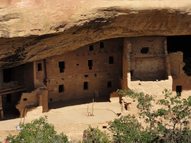
Spruce Tree House
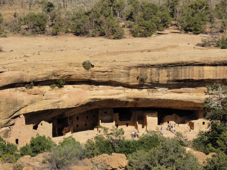
Wider view of Spruce Tree House
Around 4:50p we started the drive to the Cliff Palace Overlook where we were to meet our guide. We packed some water into a backpack and checked out the view from the overlook. As I was taking pictures Addison pointed out the ladder coming out of a narrow cleft of the rock in the distance. We had heard there were a few ladders to climb and such and we were a bit worried about that, but Michelle wanted to push on with the tour. The ranger showed up and led us through some safety precautions before we headed down some steep metal grated steps, then steep and narrow stone steps before coming to our first ladder, a 10′ tall one. It turned out to not be so bad so it looked like any worrying was for naught.
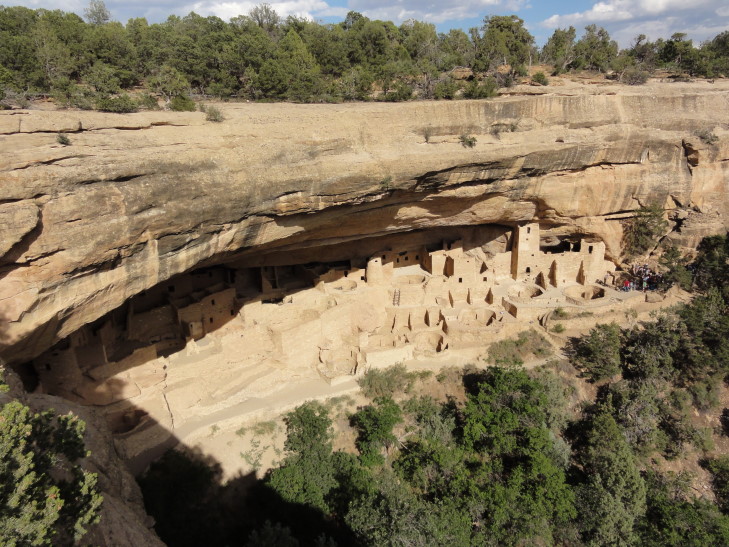
View of Cliff Palace from the overlook
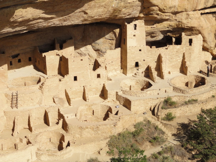
Another view of Cliff Palace from the overlook
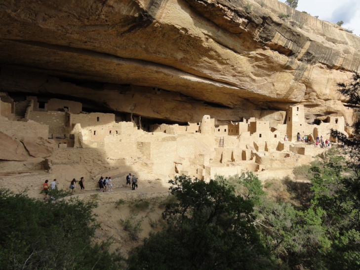
Cliff Palace as seen from the path to it
The guide was excellent. He had a very clear and enthusiastic voice and it was clear that over his now nine-year stint at Mesa Verde he had gained an intimate understanding of the material. He informed us that many children died before seven and those that lived married at fifteen and died usually around forty or forty-five. They ate corn, but not the giant sweet Iowa types of corn we have today. Also they ate beans and small potatoes not unlike those found in South America. They were from 5′ to 5’4″ in height or so. 21 kivas are at Cliff Palace, so at least 21 families. Likely a couple hundred people at its height. The dead were buried in the refuse pile of the village, knees tucked to chest. Water came not only from seep ponds often found in the alcoves the dwellings were built in but also by building small reservoirs in the canyon below to store a couple thousand gallons. Climbing up to the mesa top to farm was done via small hand and toe holds dug into the rock — could you imagine?
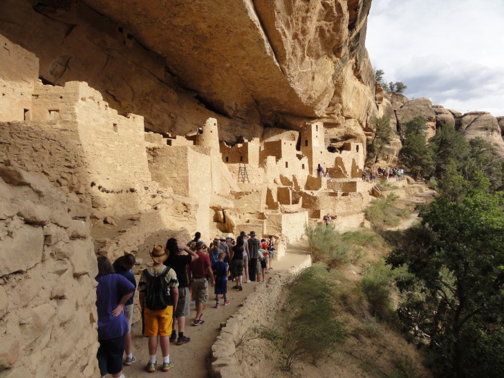
Cliff Palace tour
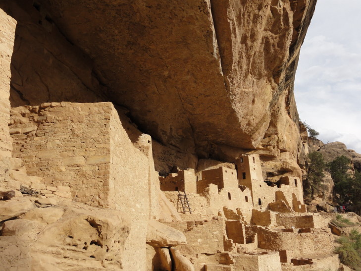
Cliff Palace, Mesa Verde National Park
We learned that early archaeologists, in their haste to make the ruins presentable and safe for visitors so that they could say “hey, Europe, the United States has ancient ruins too!”, had done some reconstructing of fallen walls and such — and poor ones at that. Still, much of it was original and, in fact even with the restoration work there is still far fewer buildings than when the site was inhabited. Finally, as the tour wrapped up, Genetta asked about the scaffolding around Square Tower House and Addison about how the kiva‘s ventilation system worked. The tour over we clambered up three small ladders and up some narrow stone steps before emerging back near the parking lot, winded.
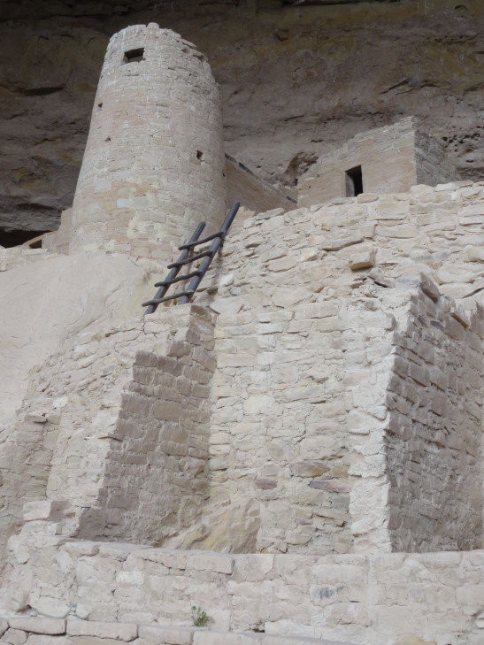
Cliff Palace tower
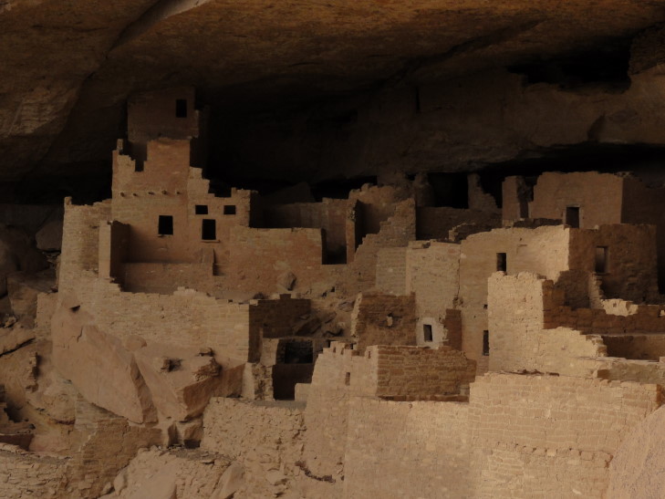
Cliff Palace
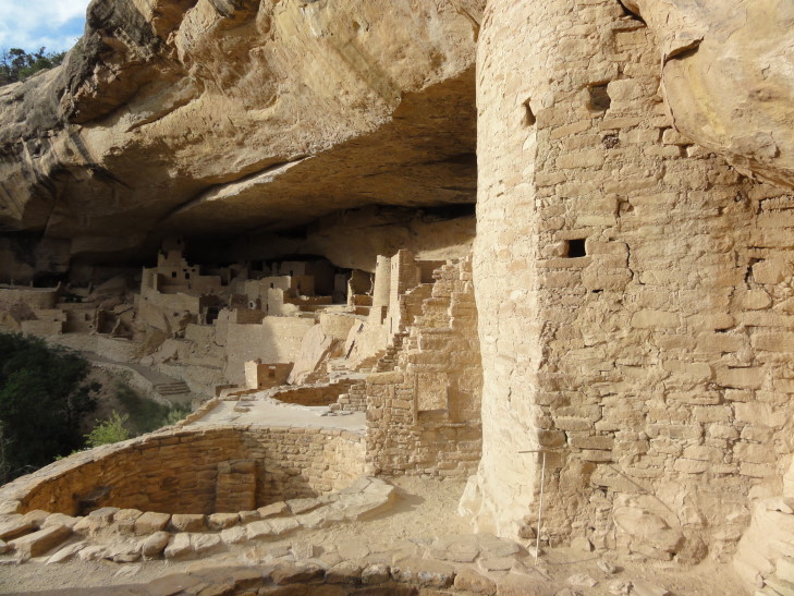
Cliff Palace tower and kiva
Hopped back in the car and continued the Cliff Palace loop. Sadly we could not see Balcony House as its alcove was beneath the loop road and it required a 3/4 mile hike to get to an overlook that looked back towards the cliff wall. It was getting late and the park nearly deserted (it was well after 7p) and we knew we had to move it along as the roads closed at sunset. So we left and visited one final site, Cedar Tree Tower on top of the mesa. The tower had an attached kiva and it is still unknown what its purpose was — ceremonial? observation tower? defense? all of the above?
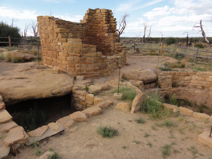
Cedar Tree Tower, Mesa Verde National Park
As we drove back out of the park we stopped at a few overlooks and saw beautiful vistas of the Montezuma River valley, the town of Cortez, and the Rockies beyond. We finally saw a car with North Carolina plates — turned out it was driven by a Swedish family and was rented in Chicago and they were making a five week trip around the United States. Exited the park and made the short drive to Durango, passing some neat artsy places along the way. Pulled in about 9p and ended up eating pizza at Home Slice pizza. Good stuff. About 10p got to our hotel room (during a thunderstorm) and prepared for the upcoming day of rafting and blogged.
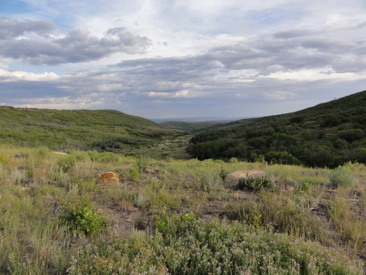
View from on top of the mesa, Mesa Verde National Park
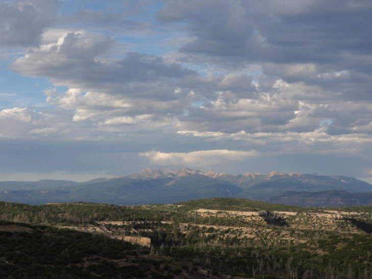
Distant Rockies at sunset
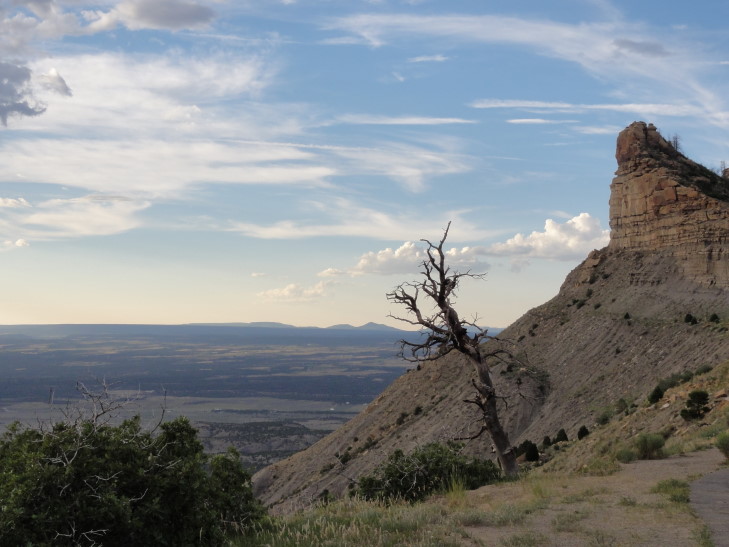
Vista from the road out of Mesa Verde National Park
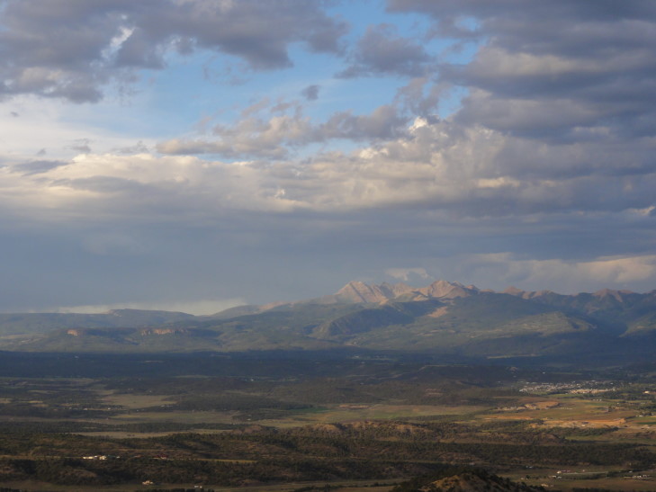
Rockies, again -- so gorgeous
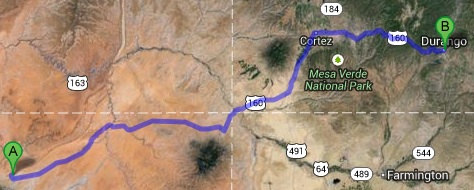
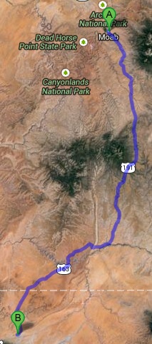
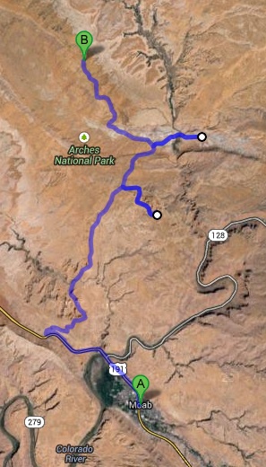
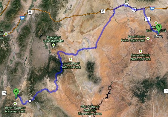
Route for Friday, July 26th, 2013
