BigWeather's Blog

July 19, 2015

Where the Wild Things Are

Filed under: Travel — Tags: — BigWeather @ 11:59 pm

We awoke early, around 5a.  Got ready, packed, and went to the hotel’s restaurant for breakfast buffet.  It was pretty solid, decent enough eggs and bacon and cereal.  Checked out and headed to Denali National Park’s Wilderness Access Center for our bus tour deep into the park.

Stained glass in the Wilderness Access Center showing the Big Five: grizzly, moose, Dall sheep, wolf, and caribou

The bus tour is essential as private vehicles are not allowed past mile 15 of the 92 mile long road.  While there is a view of Mount McKinley (still the official name, despite it almost universally being called Denali today) and the potential to see wildlife there are much better views of the mountain (at 20,300+ feet the tallest in North America) and many more chances to see wildlife going with a tour.

The tour bus is like a school bus, with all that goes with it — bumpy, not very comfortable, and not great legroom.  The view can’t be beat, however, so…  Our guide was Bryan.  While not an employee of the Park Service (he needed two more years of college and decided that wasn’t for him), he had been driving buses in the park for twenty-five years and was incredibly knowledgeable.  He had a great speaking voice and a very philosophical outlook on nature and man’s role in it.  We took an immediate liking to him and as the guide goes the tour goes.

Our tour bus (dirty from miles on the gravel Park Road in the rain)

In addition to discussing the history, both natural and founding, of the park he gave his thoughts on the “Into the Wild” story about Christopher McCandless going to a remote area north of Denali National Park and setting up camp in an abandoned city bus.  Our guide was riding in the area when he was still alive and wishes he had stumbled upon him and could’ve saved him.  Basically, Christopher got in over his head and bad decisions piled up eventually leading to his demise from starvation.  While he serves as a lightning rod of controversy in the area and many believe he was off his rocker, Bryan identified with the primal need to get away from society and live simply in nature so was a bit more sympathetic.

Anyways, the weather wasn’t great — mid-40s to 60 depending on the elevation and everywhere from a light fog to pouring rain.  So seeing the mountain was right out, despite being only 28 miles away and absolutely massive.  We had heard that the mountain is only “out” about 30% of the time and people that had been in the park for the past few days remarked that they’d yet to see it either.  In fact, a guide in the Eielson vistor center we stopped at around lunch time remarked that 50% of those setting out to summit the mountain succeed, whereas only 30% that visit the park see the mountain.  Obviously not apples to apples but funny nonetheless.

Soooo, with the weather crap and the mountain playing a great game of hide-and-go-seek…  How were the animals?  As the Ranger that boarded our bus later in the day said “Crappy weather makes happy bears”.  And how!

Denali National Park has a list of the “Big Five” mammals: Dall Sheep, Moose, Caribou, Grizzly, and Wolves.  Moose are stupid common, Dall Sheep aren’t too hard, Caribou aren’t either, Grizzly are pretty common.  Wolves are rare, Bryan estimated between 1 in 30 or 40 buses see one.

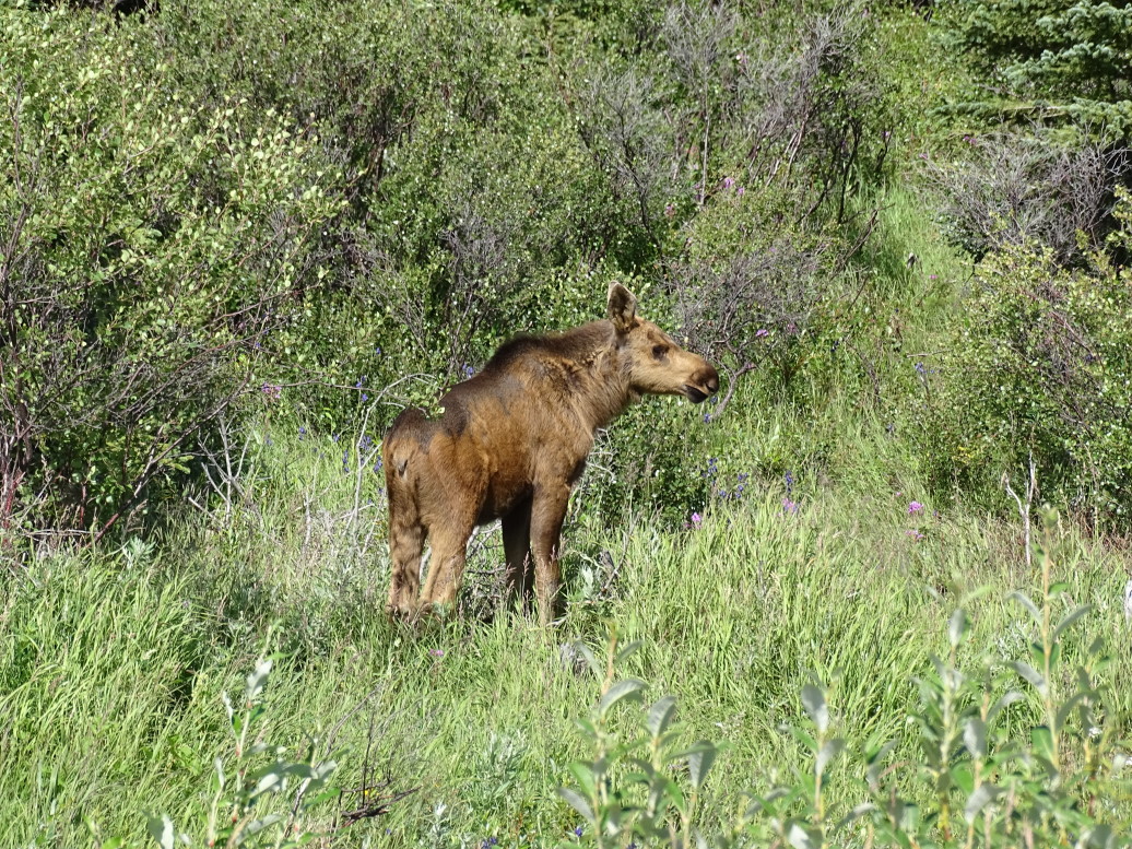
We started out seeing a couple of moose cows (thanks Mom for the assist on female moose terminology).  Then we saw a wolf.  I only saw it dart into the bushes to the right side of the road and missed it coming back across the road but Genetta and Michelle got a great view (looks like a “skinny dog”, basically).  A bit later we saw a couple of grizzlies, then some Dall sheep high on a mountain, then another grizzly, then some more sheep, some caribou without antlers (don’t know whether male or female — both have antlers), some more moose (this time bulls with impressive antlers!), a grizzly going to town on some berries, and finished up with two separate caribou with amazing antlers, both of which crossed the road right in front of the bus.

Grizzly by the river side in Denali National Park

Dall sheep grazing on a distant mountain

Caribou grazing

Bull moose with impressive antlers

Cow and bull moose grazing at a pond

Grizzly going to town on some berries

Caribou with amazing antlers

Caribou in Denali National Park

Most of the animals were several hundred yards away (with the exception of the sheep, much farther on steep steep slopes) so I was very happy I bought the new camera that could zoom much better than my older one.  The super zoom makes for some blurry images at maximum, however, I apologize for that.  The new binoculars also came in very handy.

Denali is essentially untouched and as it has been for thousands of years.  Other than the single road there is no other development in the park and the number of visitors allowed beyond mile 15 is extremely limited.  It almost felt like Jurassic Park at times, cruising through the park and seeing the animals and nature nearly completely undisturbed.  I don’t want to give the impression that there were herds of thousands of caribou or anything like that, however.  It is important to note that Denali is, in general, a pretty hostile environment for not only humans but also animals.  It is mostly tundra and the food system is simply not there to support huge herds or even large groups.

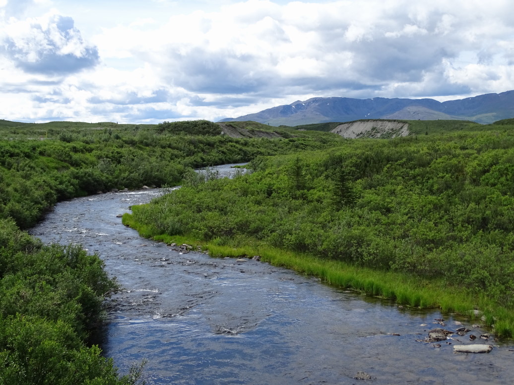
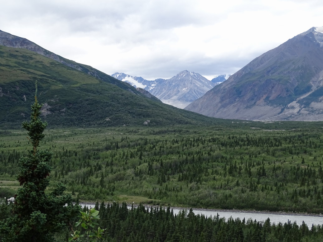
"Braided" river valley in Denali NP

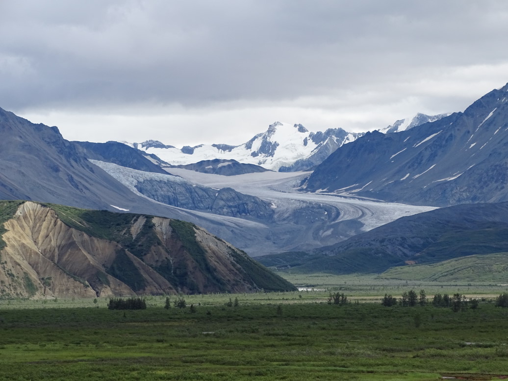
Rare sunlight shining on Cathedral Mountain

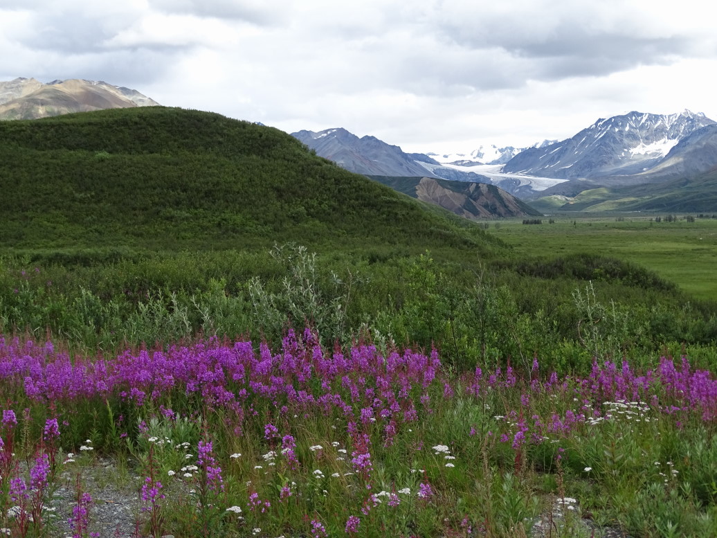
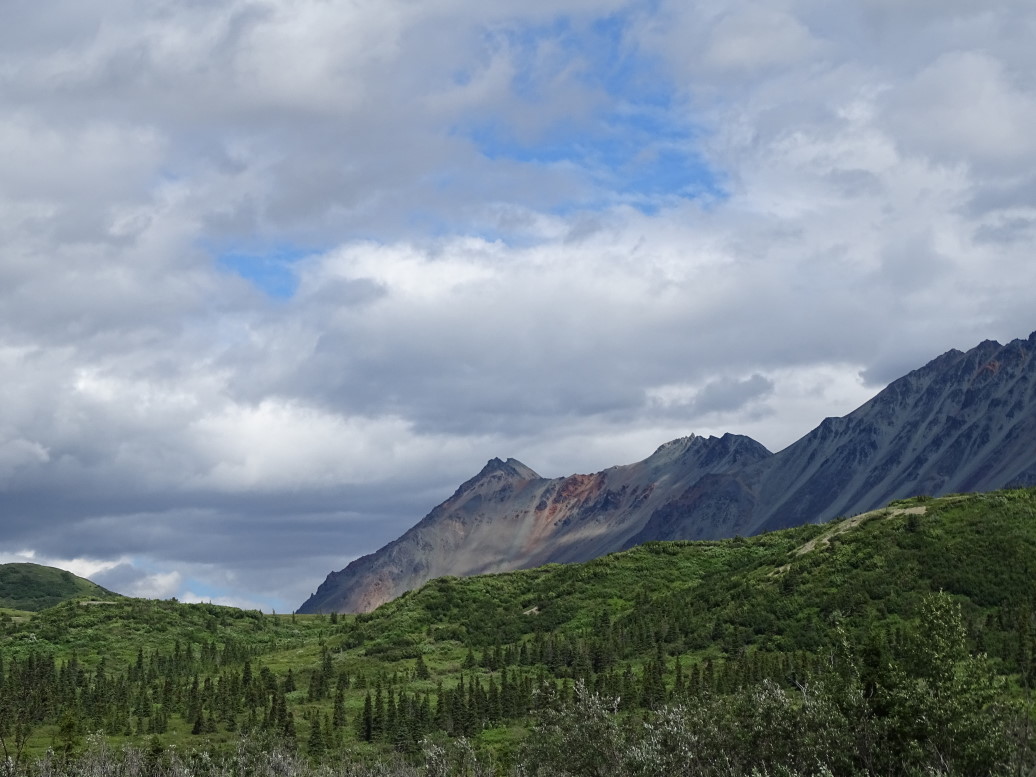
Sunlit hill in Denali NP

"Braided" McKinley River

McKinley River in Denali

We stopped at several rest stops and the Eielson visitor center along the way.  The visitor center had a guide talking about various attempts to scale the mountain (about 50% make it as I noted earlier, and the mountain itself claims about 1 in 300 climbers).  Permits are extremely limited and Denali has many more protections in place than Everest, making it in some ways a nearly as challenging climb.  For instance, climbers of Denali are not allowed to use oxygen (due to discarded canisters that litter Everest) so an extended period of time (about a month) must be spent getting acclimated over time.  Also all waste, including human waste, must be transported off the mountain.

The visitor center was prepared for the fact that 70% of visitors will be greeted by a fog bank instead of a view of the mountain so had places marked on the floor for various heights and corresponding silhouettes of the mountain painted on the window that show where the mount is.  Kind of cruel, if you ask me, haha.

Cruel "the mountain would be here were it not for the fog" display at the Eielson Visitor Center

We picked up a ranger at Wonder Lake (which 30% of the time has spectacular views of Denali reflecting in the lake) who led us on a walk to the Anderson homestead (now burned) in the Kantishna mining district.  The Andersons were great neighbors to the park (Kantishna has since been incorporated into the park) and scraped by raising foxes for fur, running a roadhouse, etc.  It was a nice walk with nice views of Wonder Lake (supposedly named because the survey team missed it on the first pass, and on return stumbled on it saying “I wonder how we missed that?!”).

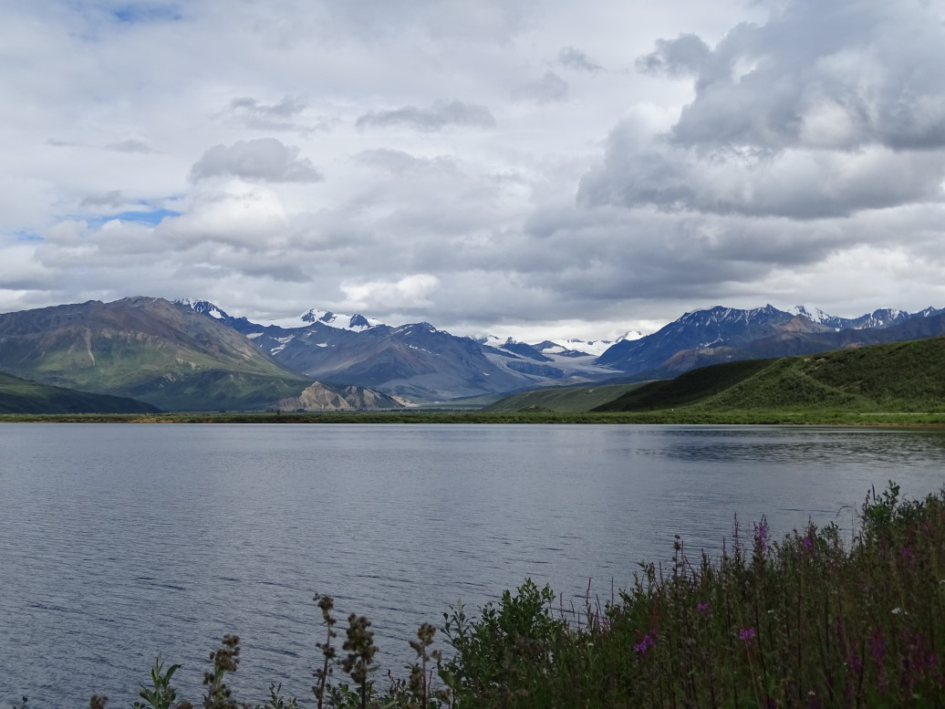
Wonder Lake, Denali NP

Hill north of Wonder Lake where early homesteaders raised foxes

Got back on the bus and learned more about the Kantishna, a gold rush that happened in 1905.  Only one person got really rich (isn’t that how it always is), pulling about $27,000/day (in 2015 dollars) out of the ground.  The panned gold ran dry quickly and was replaced by shaft mining and the like as well as mining for other minerals.  One hundred years later the water is still not safe as a result.

End of the Park Road at Kantishna in Denali National Park, note the grizzly paw print

Learned about a remarkable woman named Fannie Quigley, a Nebraskan of Bohemain descent that decided her parents had too many mouths to feed and went West with the railroads (learning English from them — a very salty version of it apparently) and finally ended up in Kantishna in 1905.  She married Joe Quigley and they made a living mining, fishing, trapping, gardening, etc.  He eventually got hurt in a mine collapse and as a result of lack of medical treatment had one leg shorter than the other by 3″.  He ended up getting hospital care but falling for a nurse there and moving to Washington.  Fannie, who was better than he at back country activities anyhow, persisted on, eventually passing away in 1944 in a small cabin in Kantishna.  We got to tour that cabin, it was really neat.  I can’t imagine the solitude — she’d travel the 100+ miles to the nearest town once a year to get supplies, other than that she was on her own.

Ranger in front of Fannie Quigley's last cabin

Fannie Quigley's last cabin in Kantishna, Denali NP

The tour wrapped up about 7p (started at 7:30a) and, as we had a 4+ hour ride to Anchorage, we grabbed dinner at the Salmon Bake in McKinley Park.  It was pretty tasty food, I had a BBQ bacon cheeseburger, Michelle and Genetta shrimp baskets (Genetta said it was the best shrimp she has had in a long time), and Addison a steak sandwich he didn’t care for a lot.  We had fried mushroom caps for an appetizer and split a couple of pieces of cake (chocolate mousse and flour-less chocolate) for dessert.  Yummy!

Got some gas and hit the road.  Still bummed about missing seeing the mountain and that Monday promised some spectacular views as skies were rapidly clearing, imagine my delight when about 10 miles south of town on AK3 we saw the Denali (means “the high one”) looming over all the other mountains!  Sure, the view wasn’t nearly as spectacular as inside the park would’ve been but oh, well — I saw it.  Besides, if we did the tour on Monday there’s no way we could do our boat tour on Tuesday down in Seward and right now the weather looks perfect for it (with Wednesday soupy again).

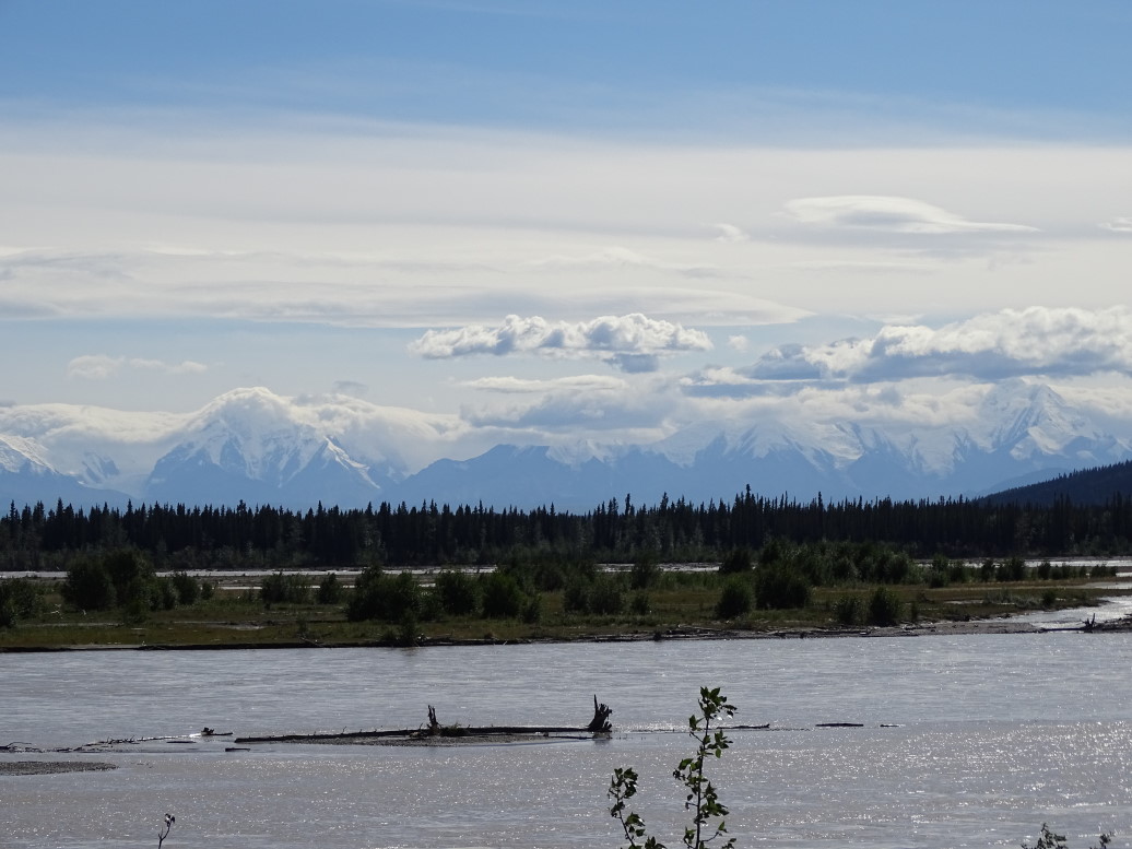
View of a river along Parks Highway near Denali NP

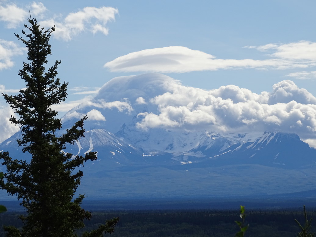
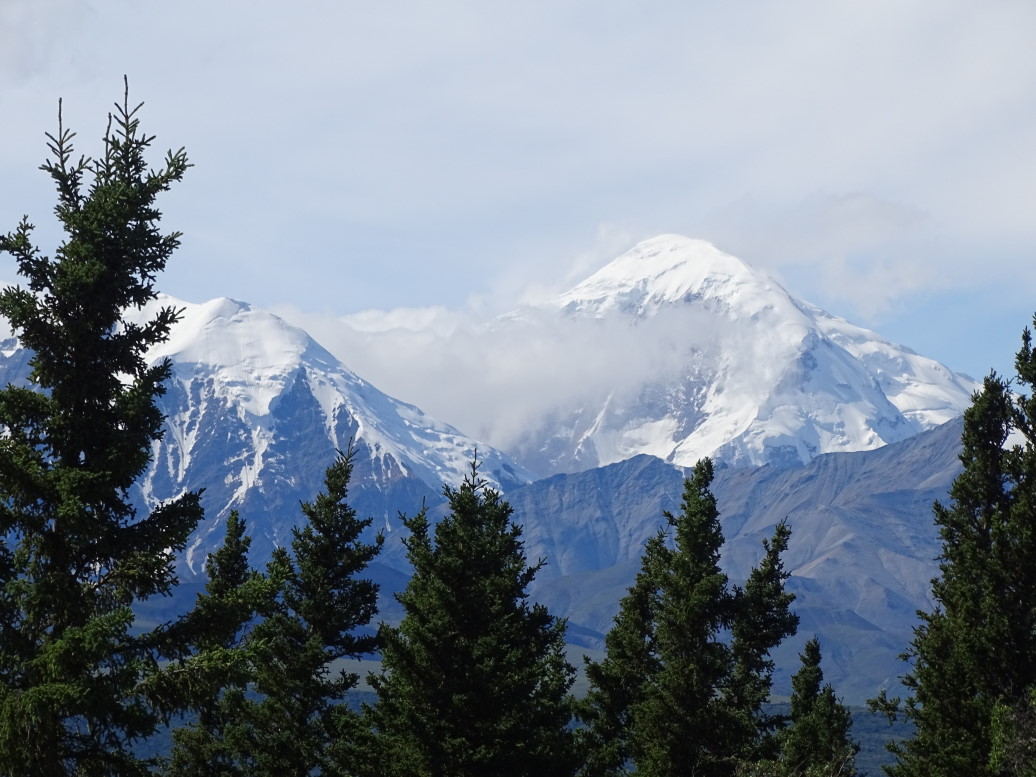
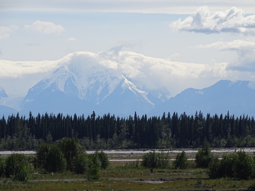
Mt. McKinley (or Denali -- "The High One"), finally!

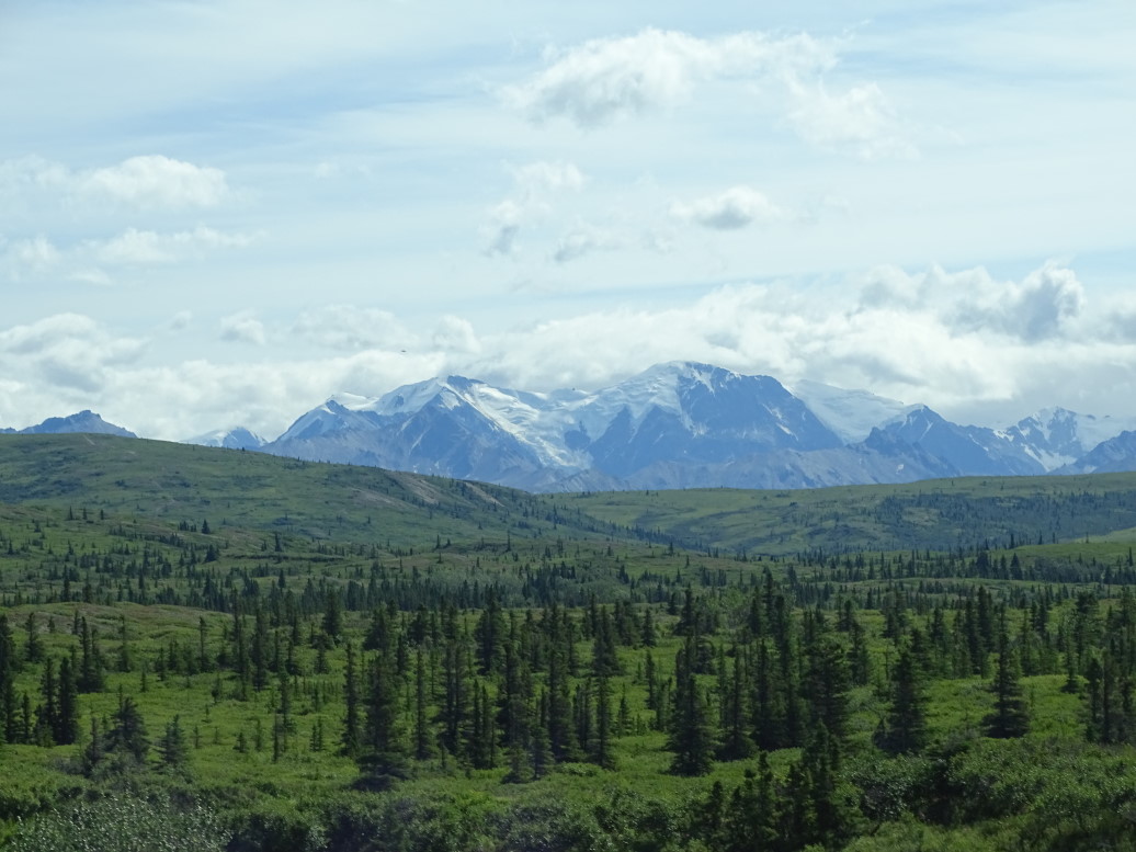
Mountains along Parks Highway (AK3) outside Denali NP

Another view of Mt. McKinley (all 20,300' of it)

All along Parks Highway (AK3) was saw beautiful mountains and some wildfire damage, arriving in Anchorage at right about 1a.  Posted Saturday’s blog (delayed due to no WiFi at McKinley Chalet) and flopped into bed.

Mountains seen from Parks Highway (AK3)

Mountain seen from Parks Highway

View from Parks Highway (AK3)

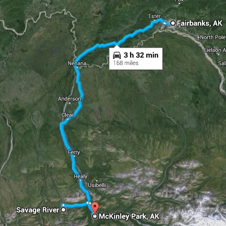
Route for Sunday, July 19, 2015

July 18, 2015

Rainy “Rest” Day

Filed under: Travel — Tags: — BigWeather @ 11:59 pm

We let the kids sleep in while Michelle did laundry and I added photos to some older blog entries.  Only behind one day now, yay!  Ate some cereal at the hotel and finally herded the kids out about 11:45a just ahead of the noon checkout limit.  Whew!

Fairbanks folk plug in their cars to these parking lot sockets during the winter to keep their engine from freezing

Gassed up the car and ate at the Sourdough Cafe.  “Sourdough” doesn’t refer to bread, but rather is what Alaskans call Ol’ Timers.  I had eggs, bacon, hash browns (very yummy!), and toast.  Addison had steak and eggs, Michelle some fried flounder, and Genetta a chicken sandwich.  The food was pretty good and the waitress a little testy, but it was filling at least.

Headed out on Parks Highway (AK3) to McKinley Park.  It was about a two hour drive that would’ve had nice scenery but for the constant rain and low-level cloud cover.  Still what we saw was pretty.

A very common sight for any summer travel in Alaska -- at least they generally wave and are friendly!

Arrived at McKinley Park at 4p and visited the Visitor Center at Denali National Park.  The building evoked a wilderness lodge feel and had a number of interesting exhibits on the geography, animals and plants, and people of the park.  We left to go to the gift shop and bought a few things, then the cafeteria to get some Starbucks.  Finally went to the Science Center and watched a 17 minute video about Denali.  Was hoping it’d be more informative, was more a “here’s some pretty pictures of the seasons and also some cute baby animals” film.  Oh well.  They did have a neat map quilt of the park showing all of the different biomes.

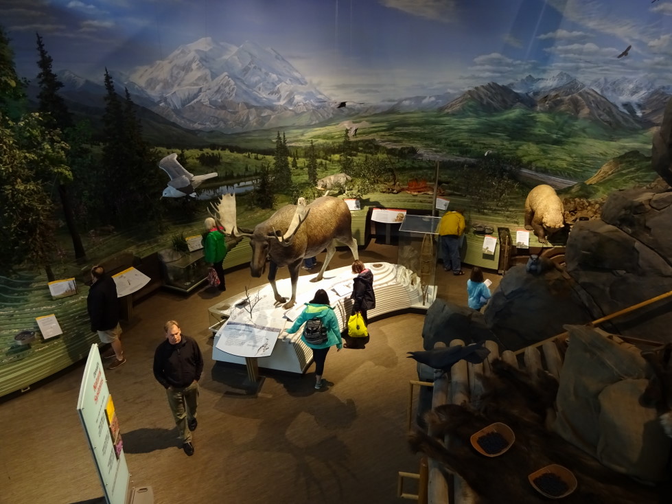
Denali National Park visitor center exhibits

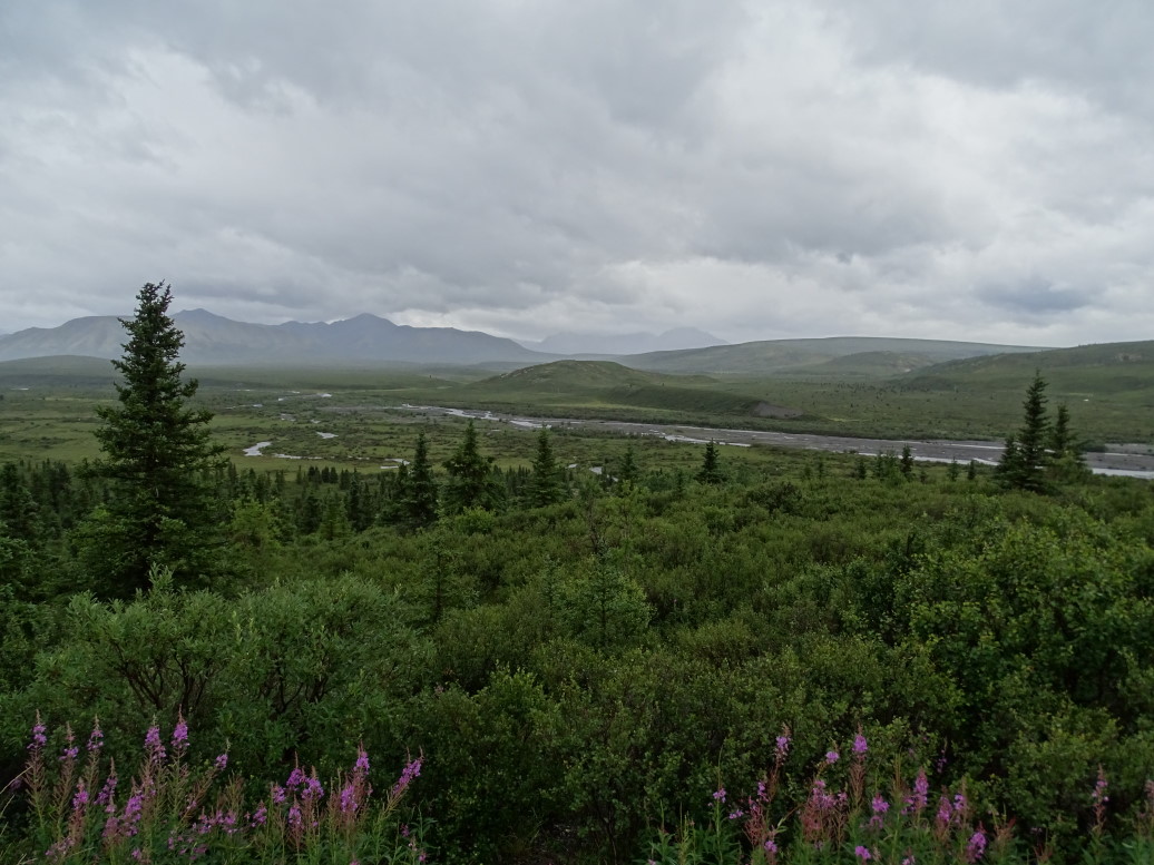
Drove down the park road for the 15 miles that are open to private vehicles.  After that only shuttle and tour buses are permitted.  Despite the constant rain I still managed to get some pictures in.  We had to scuttle any notion of walking, however.  The terrain was mostly boreal forest and some tundra, moderate hills and small mountains, and a pretty braided stream.
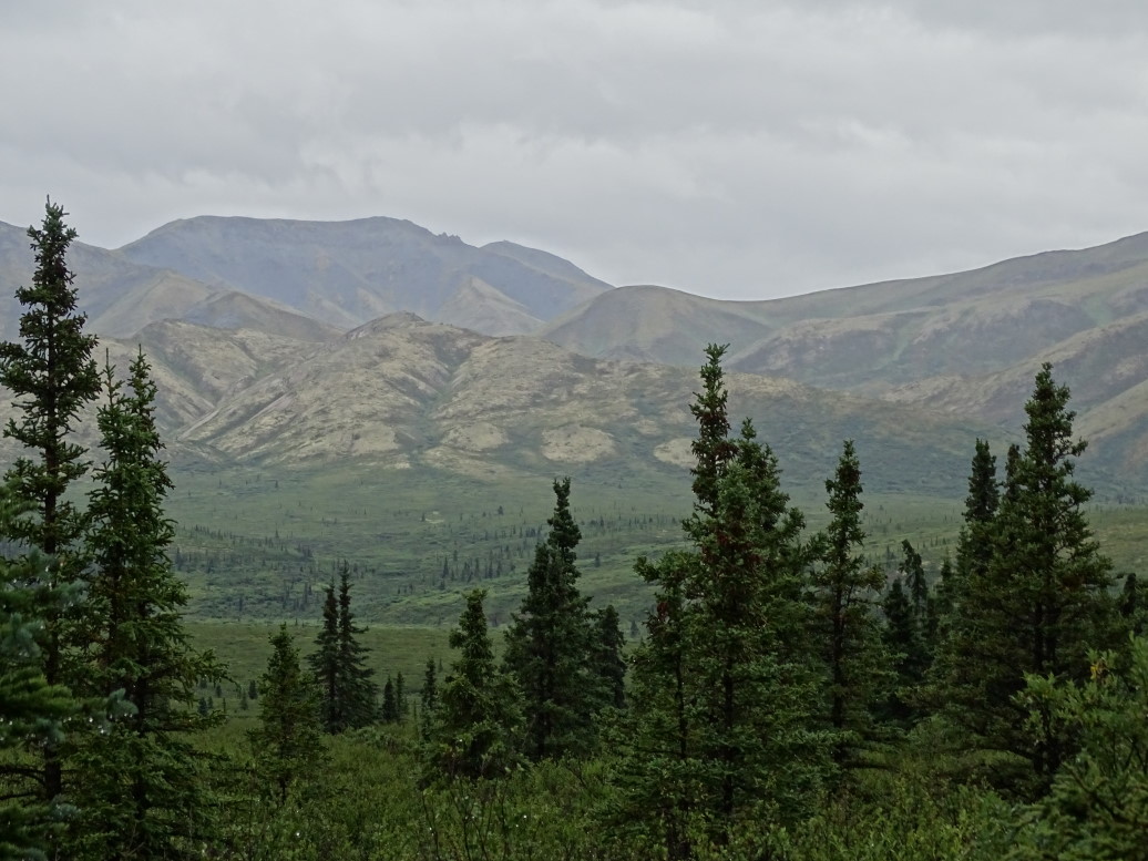
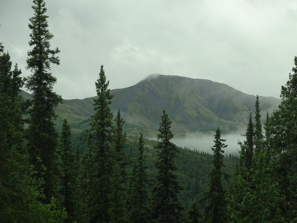
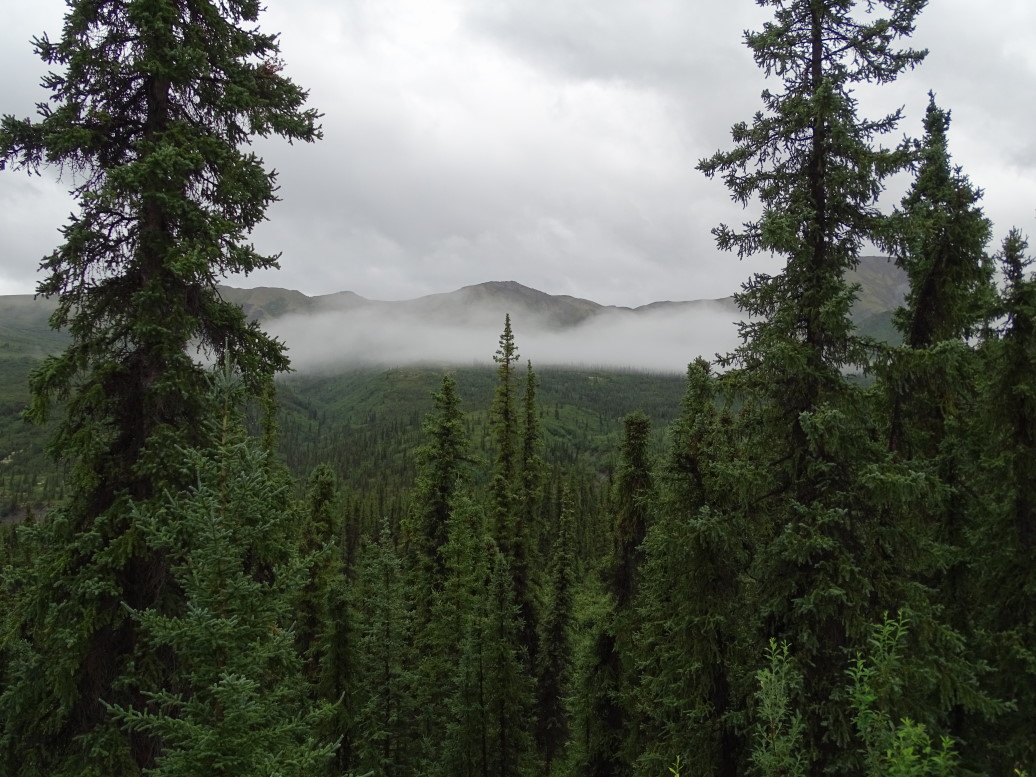
Boreal forest in Denali National Park

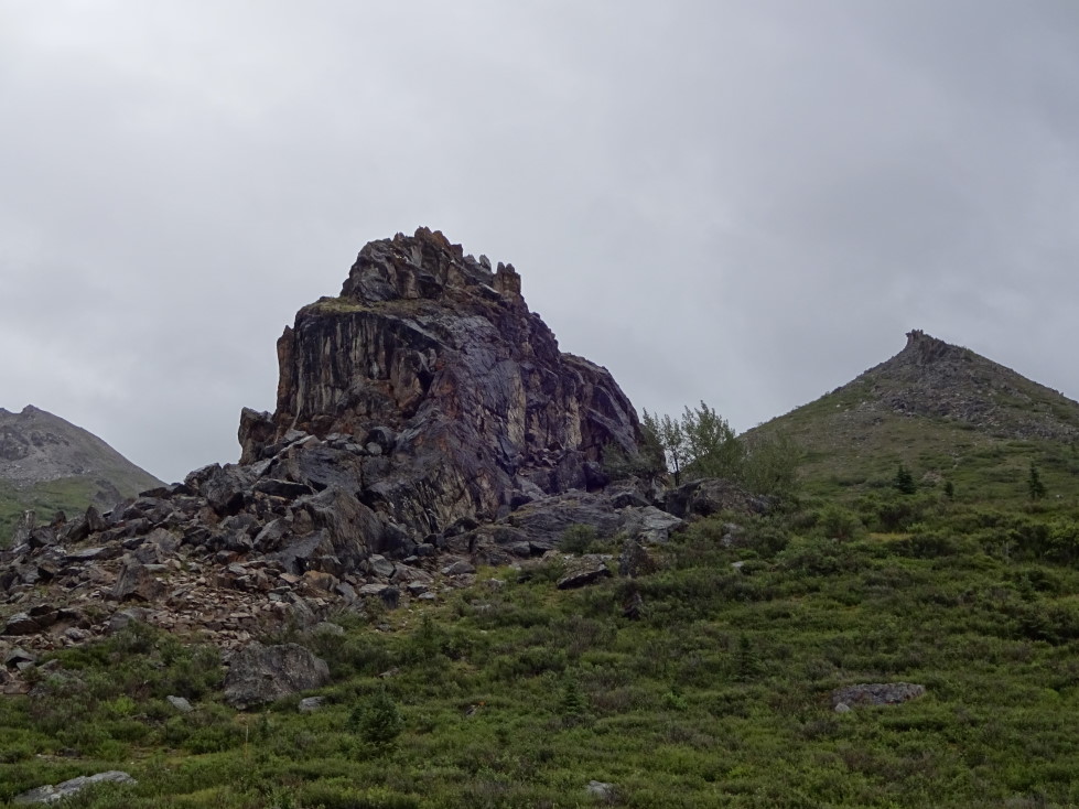
Rock formation near Savage River, Denali National Park

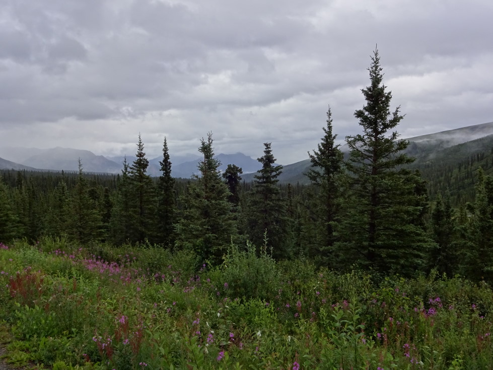
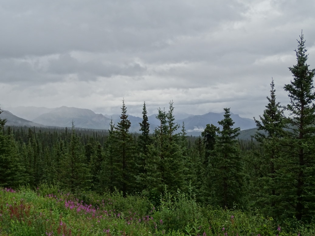
Beautiful scenery, despite the rain, in Denali NP

Denali National Park, Alaska

More beautiful scenery at Denali NP

Small mountains at Denali NP

At the end of the road there were a number of gulls — turns out that they fly to Denali and lay their eggs in the islands in the middle of the stream as foxes and other predators won’t go out there.  The gulls were very used to humanity, landing on cars as they parked.  The outhouse in the parking lot had its roof covered in grasses and flowers as well.
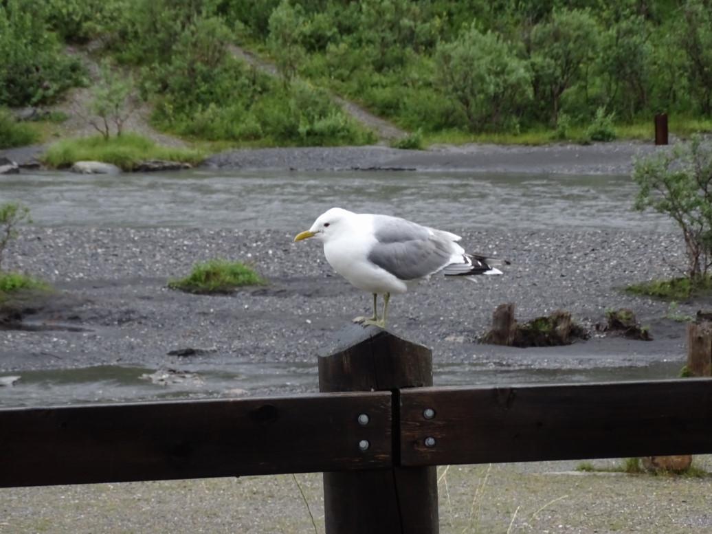
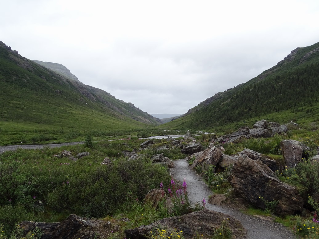
Mew Gull, they nest on the gravel bars in the middle of braided rivers

Savage River, Denali NP

One last bit of scenery from Denali NP

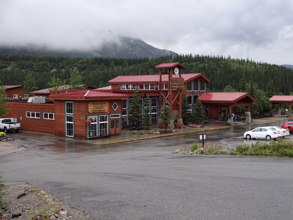
Headed back to our place, McKinley Chalet, and checked-in.  The room is OK, not great, but the location one mile away from the park is nice.  Went out to eat at Lynx Creek Cafe and had a garbage pizza (Michelle had a spinach calzone instead), cheese bread sticks, and cinnamon sticks for dessert.  Very yummy!  Headed back to the room by 10p to blog and sleep.

McKinley Chalet, where we rested our heads...

Route for Saturday, July 18, 2015

July 17, 2015

The Last Frontier

Filed under: Travel — Tags: — BigWeather @ 11:59 pm

We awoke just after 4a and got our showers.  Left the hotel at 5:45a so we could be at the Fairbanks airport to take our drive to the Arctic Circle at 6a.  We chose to go with Northern Alaska Tour Company.  The coach was nice, in addition to the four of us there were nine others.  Mostly older, with the exception of a woman that was traveling alone.  Our guide was a nice woman named Hannah who, while born in Washington and currently studying nursing there, lived in Fairbanks most of her life.

Left town heading north on Elliott Highway (AK2), a paved if a little bumpy road.  There was evidence of a recent forest fire in charred trees, even a burn that crossed right through the Trans-Alaska Oil Pipeline.  The pipeline is fine, however, as it’s 4″ of insulation protects it from forest fires.  We also passed an encampment of trailers and the like that the firefighters are using as a base of operations to fight the fire.  Alaska normally has a “let it burn” policy but fires that threaten homes are fought.  Along the pretty drive of black and white spruce, birch, and some small marshy ponds Hannah went into detail about the founding of the town and we watched a short video about gold mining.
Shortly thereafter Hannah pointed out the last power pole.  Everything from that point and north is powered by generator or some other means.  Cell service also completely died at about that time.  We hopped on the Dalton Highway, the primary road from Fairbanks to Prudhoe Bay.  The 400+ mile road is fairly narrow (especially considering its primary traffic is long haul trucks) two lane dirt road with a few short stretches of pavement.  The pavement is actually worse as the permafrost it is built on freezes and thaws throughout the year causing the road to buckle.  Hannah pointed out a stretch of road made famous by Ice Road Truckers called “The Roller Coaster” — basically a huge trip down then back up the side of some hills.

Dalton Highway sign marking the beginning of the highway

Representative stretch of the Dalton Highway

A number of miles down the road we came upon the Wildwood General Store in Joy, Alaska and got out to shop and use the restrooms.  Charming shop run by homesteaders, didn’t find much to buy however.  The mosquitoes were particularly brutal and some got into the bus as well.  After getting back on the bus we watched a video about the making of the pipeline from 1973 to 1977.  Really fascinating stuff, all sorts of interesting facts (that I won’t bore you with).

We got out a bit down the road and walked to a section of the pipeline and Hannah pointed out some neat things.  The  pipeline runs above the ground in permafrost areas (due to worries that the 100F+ oil would melt the permafrost) and below in non-permafrost areas.  Turns out to be about 50/50 split between the two over the entire 800 mile run of the pipeline from Prudhoe Bay to Valdez.  When elevated the pipeline is suspended by two pipe looking things that Hannah informed us must be called “vertical support structures” instead of pipe.  That was a very important during construction as the pipe laying union wanted that part of the pipeline work and the Teamsters union won it by insisting it wasn’t pipe.  There are also arches with clearance stated clearly one either side of the pipeline when the access road has to go under the pipeline.  The intent is that any truck that is accidentally over the clearance limit would not want to find that out by hitting the pipeline.  There are also bumpers on the vertical support structures as the pipeline itself is allowed to move horizontally within its support during an earthquake (Alaska has a lot of earthquake activity).  Finally at the top of the vertical support structures were some kind of venting vane and (something something Chemistry-related) helped regulate the temperature of the supports in the permafrost.  I didn’t fully follow that part, haha.

Our guide Hannah talking about the Trans-Alaska Oil Pipeline

Closeup of pipeline and the bumper to stop the pipe should it sway in an earthquake

Clearance gates on either side of the pipeline to ensure that too-high trucks don't hit the pipe

The pipeline and Dalton Highway

Rode a bit more north and crossed the Yukon River over an impressive bridge.  Loudspeakers lined the span.  Apparently it is always watched by Alyeska (the company that runs the pipeline and represents all of the individual oil companies like Exxon and BP) down in Anchorage and if any foot traffic tries to cross they yell at the walkers.  Yukon River Camp was neat, a frontier outpost with running water and some decent toilets.  Picked up our bag lunches and hopped back on the bus.

A bit later we entered the tundra.  Even little trees were largely absent and the landscape was covered in lush small bushes, grasses, and flowers.  In places granite “tors” were scattered about, one over 40′ above the tundra was called “Finger Mountain” and is used by pilots as a navigational aid.  We walked around and up one of the granite outcroppings.  Very pretty, especially with all of the gorgeous purple flowers all over the place.

Tundra near Finger Mountain

Granite outcroppings near Finger Mountain

Forty foot Finger Mountain off in the distance

More granite

Tundra with gorgeous purple flowers

Finally about 2p or so we reached the Arctic Circle.  Hannah laid out a mat with a dotted line in front of the very nice Arctic Circle sign and shook our hands as we crossed over (legend has it that every crossing adds a year of life, haha).  Had a little chocolate chip cake and cream and a cup of water to celebrate.

Arctic Circle sign

Signing the back of the Arctic Circle sign

Hopped back on the bus and headed south, stopping shortly thereafter to go on a “tundra walk”.  It was a neat experience.  The clumps of grass were more solid but hard to stand on without rolling ones ankle into the space between the clumps.  Hannah used a garden trow to dig into the dirt and we got to feel the still-frozen earth (amazingly dark, rich soil).  She also picked some quite tart blueberries for us to eat.

View of the elevated pipeline

Closeup of the tundra and its dense clumps of vegetation

Went back to the Yukon and the Yukon River Camp for dinner, arriving just after 5p.  The burgers, fries, etc. were actually really good.  I had a bacon cheeseburger, potato salad, root beer, and cherry pie a la mode.  After dinner we walked down to the Yukon and stuck our fingers in it (not as cold as I expected) and got some pictures.

Yukon River Camp way north of Fairbanks

Bridge over the mighty Yukon River

Tried to stay awake the rest of the trip but I was in-and-out of consciousness.  Had been a very long day and an exhausting week.  There was a video about Gates of the Arctic National Park that I mostly missed but what I did see was beautiful.  We also stopped back by the trading post and got a few souvenirs.  Two more hours found us back in Fairbanks where we got certificates for crossing the Arctic Circle and said goodbye to the tour.

Wildwood General Store in Joy, Alaska

Hannah really was great.  She told many stories of her growing up in Fairbanks, the activities she did, friends and homesteaders she knows.  Sang a couple of really good songs (she was in choir and sang very well), recited a long poem about the Klondike Gold Rush, and was generally very knowledgeable.  She does the tours for the summer before heading back to Washington and nursing college.  She told us about the native corporations, the Alaska dividend that every native gets from the oil profits (she got $1200 this year), etc.  Tour guides make or break a tour and she definitely enhanced it.

It was 10p or so by now, left the airport (which has awesome charter planes and even a long artificial pond for use by floatplanes) and headed to McDonalds for some tea and then the hotel for sleep.  Light day tomorrow along with some laundry.

Charter planes at Fairbanks Airport

Route for Friday, July 17, 2015

July 16, 2015

Olympic Games

Filed under: Travel — Tags: — BigWeather @ 11:59 pm

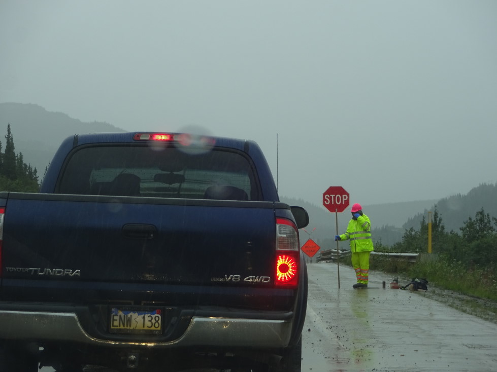
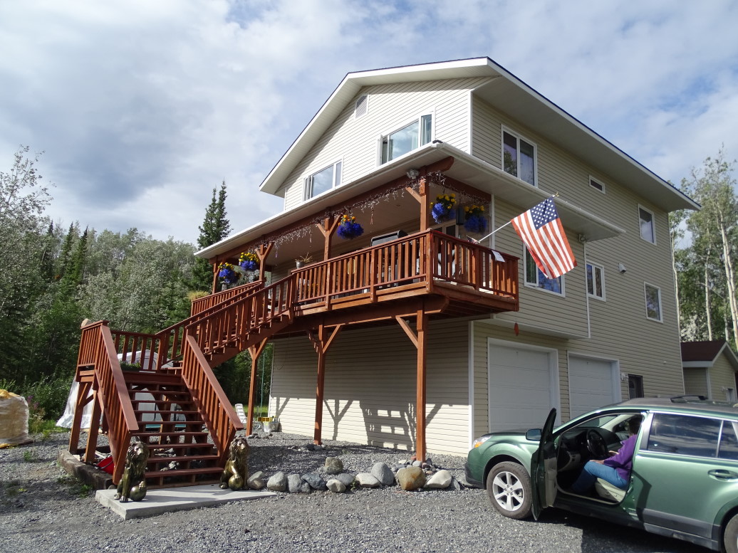
We woke up quite early, about 6a, so that we’d be ready to eat breakfast at the B&B at 7:30a.  I awoke with a headache but was able to beat it thankfully.  Breakfast was a continental breakfast and tasty — I just had coffee and a blueberry muffin.  We lingered awhile and talked with the owner as well as a couple of ladies from Brisbane, Australia who were on a four month (nice!) wander about North America.  Talked about moose (or lack thereof), politics, travels, and outdoor life in Alaska.  The owner stated that there are only two season in Alaska — winter and road-work.  She’s right as we haven’t had a single drive that wasn’t interrupted by waiting for a flag car.

Aura Borealis B&B near Glenallen, highly recommended!

Mount Drum, less obscured by clouds this morning

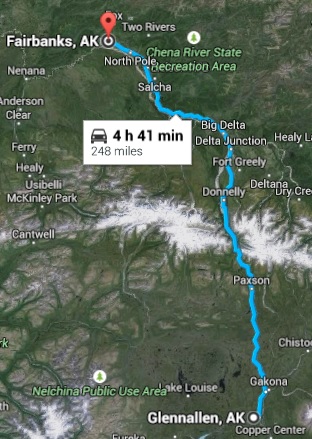
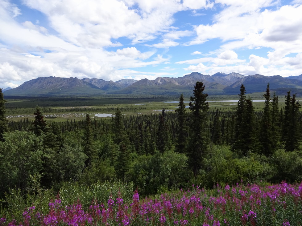
Hit the road about 10a and headed up AK4 (Richardson Highway) past Glenallen and Paxson and to Delta Junction.  What a beautiful drive!  It started as relatively flat woodland with evergreens and aspen and led to high peaks (12,000 – 14,000) with permanent snow and glaciers.  In addition the partly cloudy skies made for perfect picture-taking weather (to the annoyance of Michelle and the kids) and gave the lakes a deep blue color.  The glacial rivers were a milky white and the non-glacial crystal clear and made a wonderful gurgling noise.

Forest and lakes north of Glenallen along Richardson Highway (AK4)

More forest and lakes along the Richardson Highway

River along Richardson Highway -- no salmon going upstream at the time, bah!

Same river, looking south this time

Mountain lake along Richardson Highway with a glacier in the background

Glacier seen from the Richardson Highway

Pretty view of the glacier with wildflowers (not native to Alaska, but still pretty) in the foreground

Mountain near the pass in the Alaska Range, Richardson Highway

Delta River north of the Alaska Range as seen from the Richardson Highway (AK4)

High peak in the Alaska Range (12,000 - 14,000 feet or so, depending on which peak it is)

We also saw five moose!  Two calves, two whatever-it-is-they-call-the-females, and two bulls (though none with a huge set of antlers).  No bears yet, but many beaver dams and also I spied a bald eagle far in the distance with the binoculars.  Also saw a bird and its four chicks run across the road right in front of the car in front of us as well as a chipmunk or some other kind of small rodent.  The rocks also had interesting colors — not just the normal gray you see all over Alaska but also some yellows and light reds.  The road also followed the Trans-Alaska Oil Pipeline which, while mostly above ground, did occasionally run underground for short stretches (and even had its own fancy bridge to help it cross large rivers and the like)

Moose calf, so cute!

Mountains of the Alaska Range (12,000 to 14,000 feet high)

By the time we reached Delta Junction at 2p we were starving and ate at Buffalo Center Drive-In.  We didn’t behave, I had a steak and cheese, onion rings, and a coffee milkshake.  Left on AK2 to Fairbanks about 3:30p, drive took a bit longer than normal due to construction.  Luckily most of it followed the flat, broad valley of the Tanana River and afforded amazing views of very high peaks of the Alaska Range beyond to the south.  Closer to Fairbanks we passed Eielson Airforce Base with its parked transport plane and eight FA/18s.  Also we passed North Pole, Alaska with many instances of Christmas-themed businesses.  We drove on by.

Peaks of the Alaska Range south of the Tanana River

One last view of the majestic Alaska Range south of the Tanana River

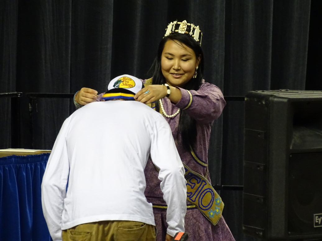
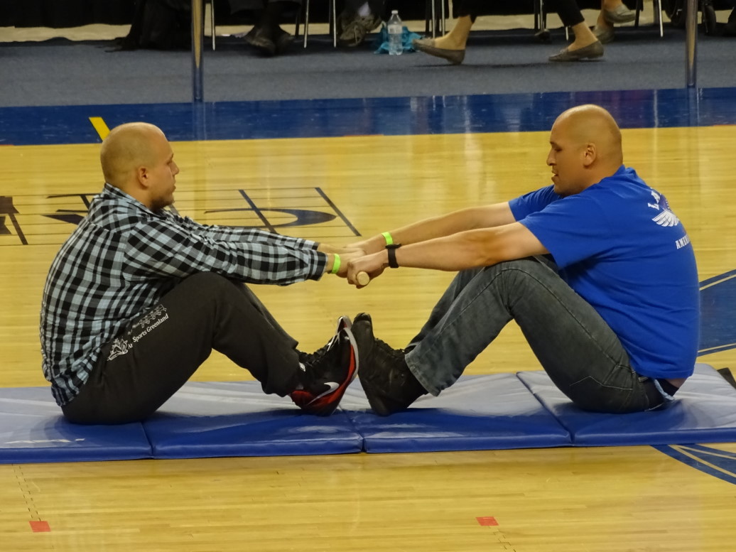
Checked in at the Holiday Inn Express in Fairbanks at 5:30p, rested a bit, then headed out to the World Eskimo-Indian Olympics in the Carlson Civic Center.  This event is held every year and brings together Eskimo groups from all over the world — competitors from Greenland, Canada, Alaska, etc.  Events reflect valuable skills for the Eskimo like hunting and fishing and include the Stick Pull (two people pull at a stick to make the other one let go, simulates pulling in seals from under the ice), Eskimo High Kick, Four Man Carry, etc.  We saw the medals ceremony for a few events and then a demonstration of the Stick Pull.

Medal presentation at the World Eskimo-Indian Olympics (WEIO)

Demonstration of the Stick Pull by the gold and silver medalists

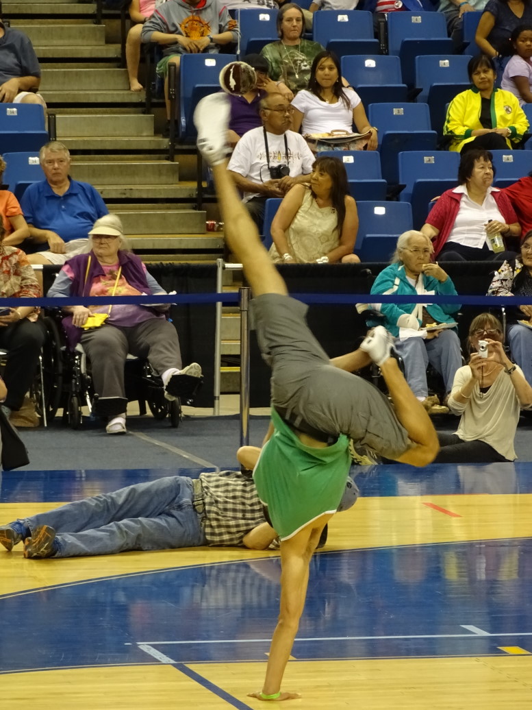
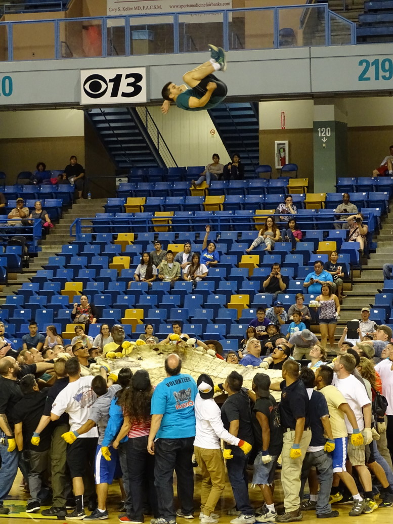
After that we watched the Eskimo High Kick finals.  It was pretty amazing, competitors start in a crouching position with one hand planted then kick with one foot to try to hit a ball made of seal skin.  The women hit 82″ and the men 93″.  Next there was a small dance demonstration then the Blanket Toss — derived from the traditional post-whale hunting celebration of taking a large skin and having many people pull at it so that a person (or candy, or whatever) on top would be launched in the air — kind of like a trampoline.  Points are given for style and sticking the landing.

Eskimo High Kick -- like Break Dancin' with a goal

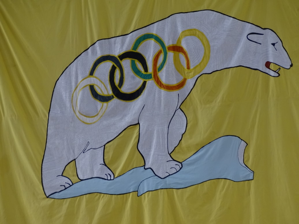
WEIO banner, proving that Polar Bears make everything cooler

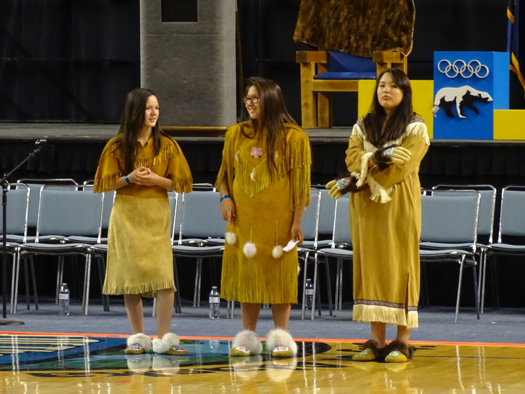
Performers waiting for the dance performance to begin

Athlete doing a forward flip during the Blanket Toss

The announcer was funny with some juvenile jokes (“How do you make a tissue dance? Put a little boogie in it.”) and quips (“In my day we’d hit the ceiling and change the lightbulb.” (referring to the blanket toss)) as well passing on what the Elders wanted known (“The Elders would like to ask the parents to have their children quit blowing those loud whistles”).  Wrapped up the visit with a little bit of shopping — Michelle got a Christmas ornament of two little moccasin booties, Genetta some earrings and a keychain, myself a few note cards with neat art directly from the artist, and we all got t-shirts.

It was 9:30p by now so we stopped by Great Alaska Pizza Company (well, the Alaska part was correct, at least) for some pizza and we also bought some snacks for the long bus ride to the Arctic Circle tomorrow.

Route for Thursday, July 16, 2015

July 15, 2015

The Longest Day

Filed under: Travel — Tags: — BigWeather @ 11:59 pm

We woke up early in an attempt to get out by 8a.  While we didn’t get out until a little after 9a I’ll count it a win, especially as we had already eaten breakfast at the hotel.  Headed out of Anchorage north on AK1 then east (still on AK1) through the Mat-Su region of the state.  Mat-Su is named after the two main rivers in the valley, the Matanuska and the Susitna.  The area was settled by people from the Midwest in the 1930s, transplanted as an experiment to see if they could feed Alaska when their own farms had failed and been foreclosed upon.  The region is known for its large produce, holding several world records including a 100+ pound cabbage.

Matanuska River north of Anchorage

Matanuska River

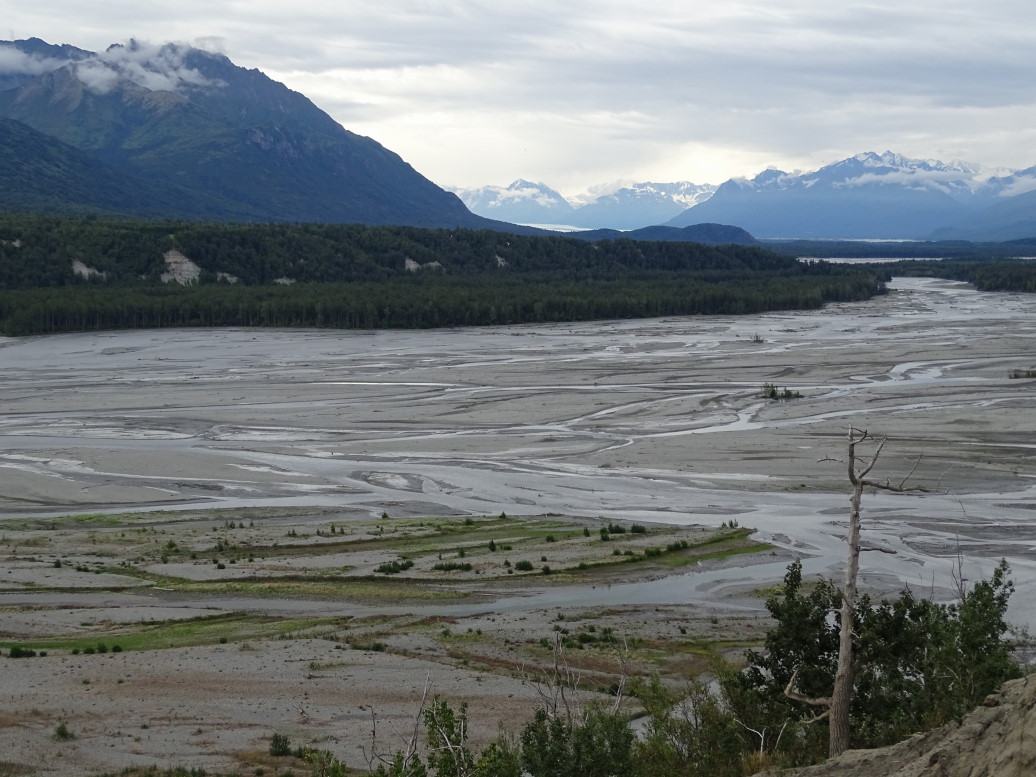
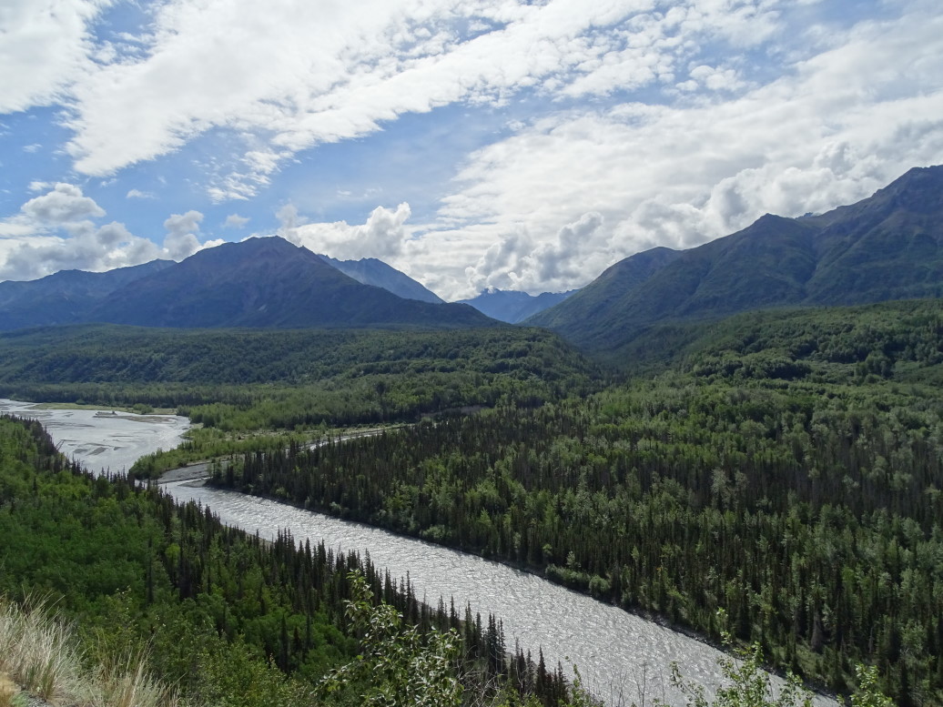
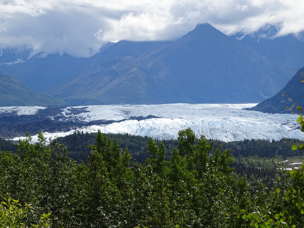
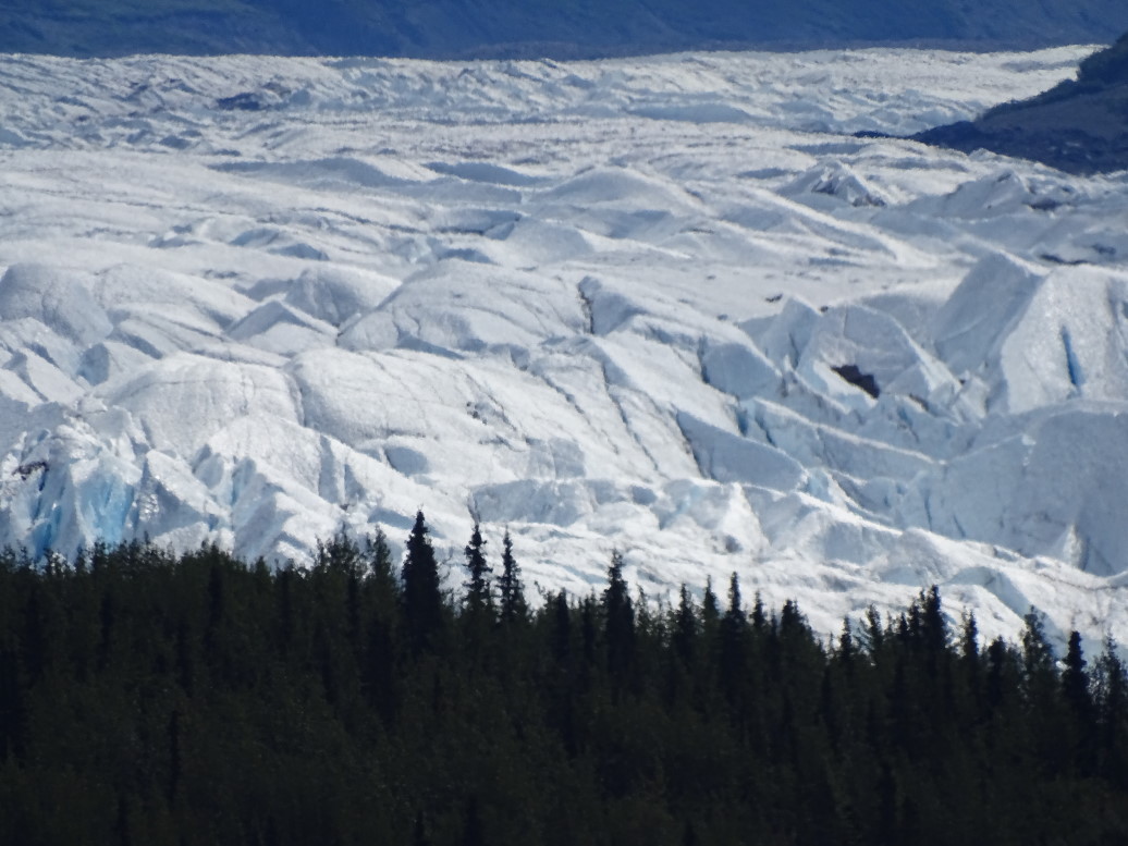
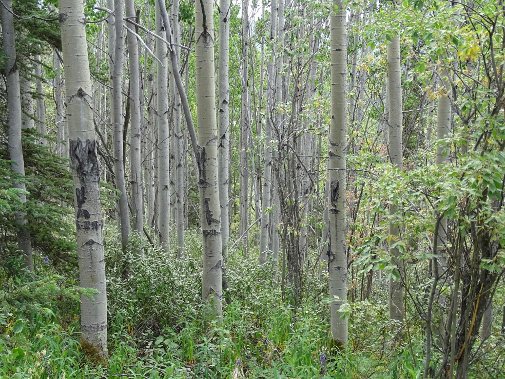
We followed the Matanuska River east, a broad and meandering river colored milky white from glacial discharge of “glacial flour” — ground rock.  South of the Matanuska are towering, jagged peaks many still sporting snow.  Three main glaciers also flow from the range, including Matanuska glacier — a large one at 25 miles long and 4 miles wide!  The highway passed within a mile or two of it.  We took a nice one mile walk around a glacial moraine that offered decent views of the glacier as well as a very pleasant walk through a birch forest.  We also learned that not only are their traditional ice-based glaciers but also rock glaciers.  Very cool.

Matanuska Glacier, 25 miles long and 4 miles wide!

Toe of Matanuska Glacier

Birch forest along one of Matanuska Glacier's moraines

Leaving the viewpoint we passed a school that had the most amazing view of the glacier — how do those kids concentrate during school?!  I’d stare out the window all day.  Decided to eat at the Grand View Lodge’s restaurant as it was getting on 1:30p.  Solid food, I had a pastrami on rye and potato salad.  Michelle had a BLT, Genetta and Addison Philly cheese steaks.  Addison also had a strawberry smoothie that was very tasty (he let me have what he couldn’t finish).  Hopped back in the car and continued our travels to Glenallen where the night’s lodging was.  The land got a bit flatter though the large peaks of the Chugach still were to the south.  It was mainly sparse evergreen forest dotted with small ponds and major hills / small mountains.

Mountain along the Tazlina River

Tazlina River valley with many small lakes

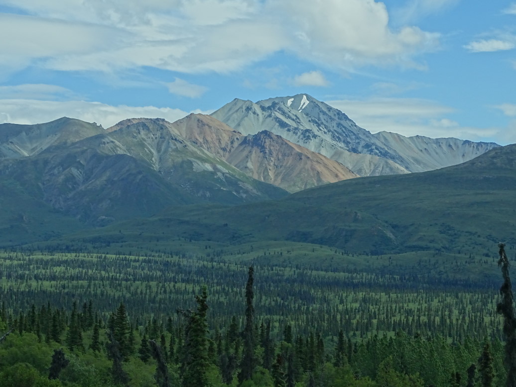
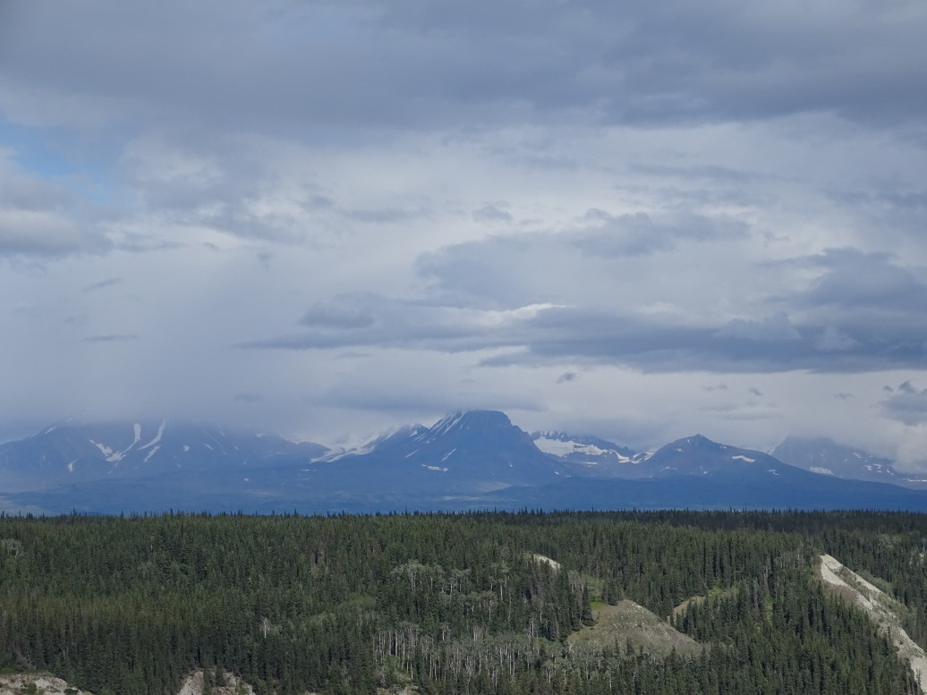
Once we neared Glenallen the peaks of the Wrangell-St. Elias National Park loomed large — their group was mainly in the 12k – 16k range, with Mount Drum being particularly impressive as a strata-cone volcano.  Sadly clouds obscured the top, allowing only peeks at what must be an amazing sight.  Turned right on AK4 (Richardson Highway) and shortly were at our lodging for the night — the Aura Borealis Bed & Breakfast.  After a brief introduction to our rooms by the proprietor — a very nice lady accompanied by her two dogs (Cleo and Ming) — we headed out for the Wrangell-St. Elias National Park visitor center just a few miles down the road.

Mount Drum, a stratocone volcano, obscured by clouds

The visitor center wasn’t much to write home about but it was OK.  The National Park isn’t very accessible to most people, however, as there are only two very rough roads into the interior so most visiting of the park is done via fly-ins by bush pilots.  Did learn that 10 of the 15 highest peaks in North America were in the park, including 18,000 foot St. Elias — the second tallest peak in the United States.  There is a glacier in the northern part that is the longest interior glacier at nearly 75 miles long.  There is also another glacier the size of Rhode Island, an ice field 100+ miles long, and the park itself is by far the largest in the national park system.  Visited the overlooks and then headed back onto AK4.

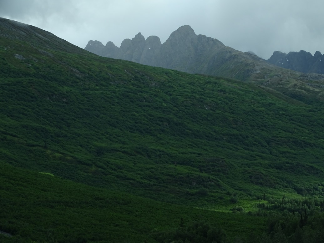
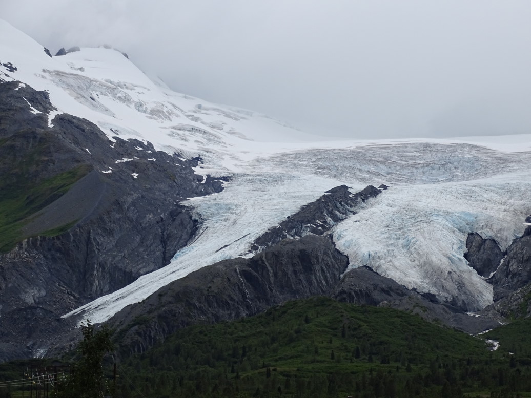
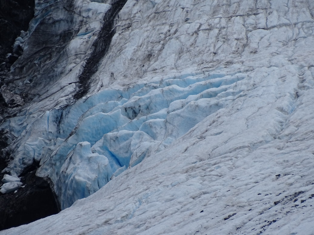
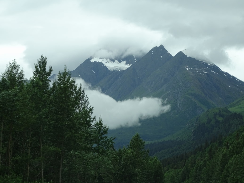
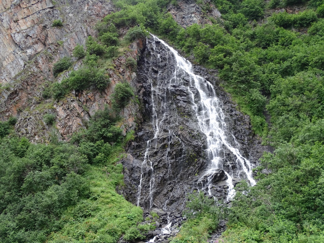
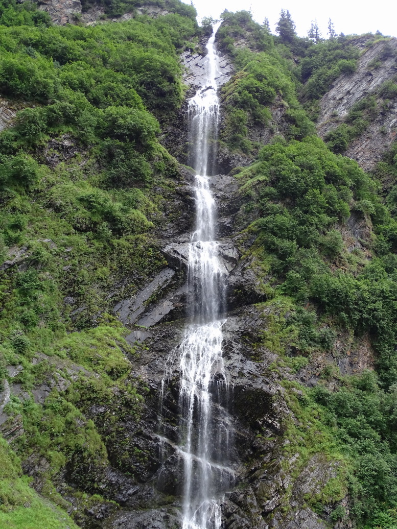
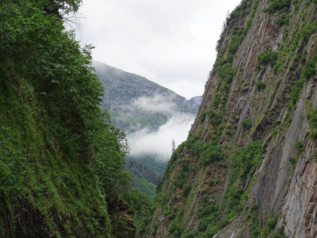
We headed towards Valdez on the Richardson Highway (AK4) about 6p.  We had heard from several people (including the B&B’s proprietor) and guide books that the 120 miles drive was not to be missed, particularly the final 30 to 40 miles.  They weren’t wrong!  What started as a fairly ho-hum (by Alaska standards, still beautiful) drive turned amazing with close by glaciers such as Worthington (which we were able to walk fairly close to) and the lush green treeless peaks surrounding Thompson pass.  On the far side of the pass there were several small blue lakes then the road descended steeply into a narrow canyon called Keystone Canyon that sported several gorgeous falls including Bridal Veil Falls and Horsetail Falls.

Lush mountainsides along Richardson Highway (AK4) on way to Valdez

Worthington Glacier, one of the most accessible to travellers

Close-up of Worthington Glacier, note the blue ice

Jagged cloud-covered peaks along Richardson Highway (AK4) on the way to Valdez

Bridal Veil Falls in Keystone Canyon near Valdez

Keystone Canyon, wide enough for a stream and the two-lane road (Richardson Highway, AK4)

Horsetail Falls near Valdez

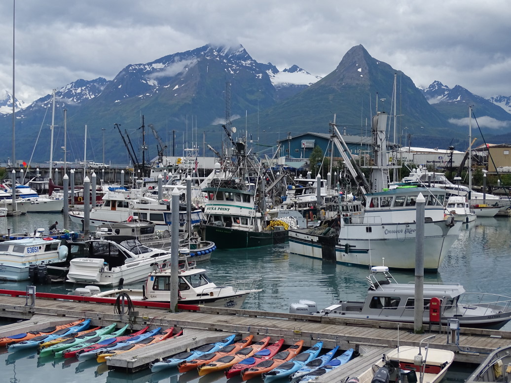
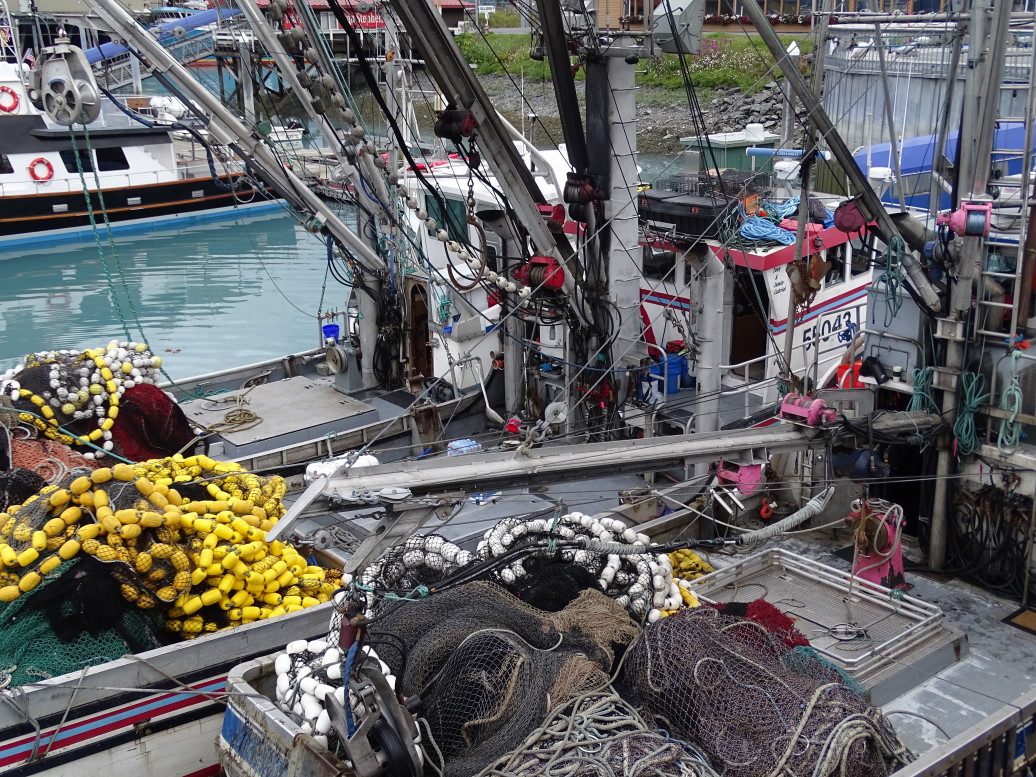
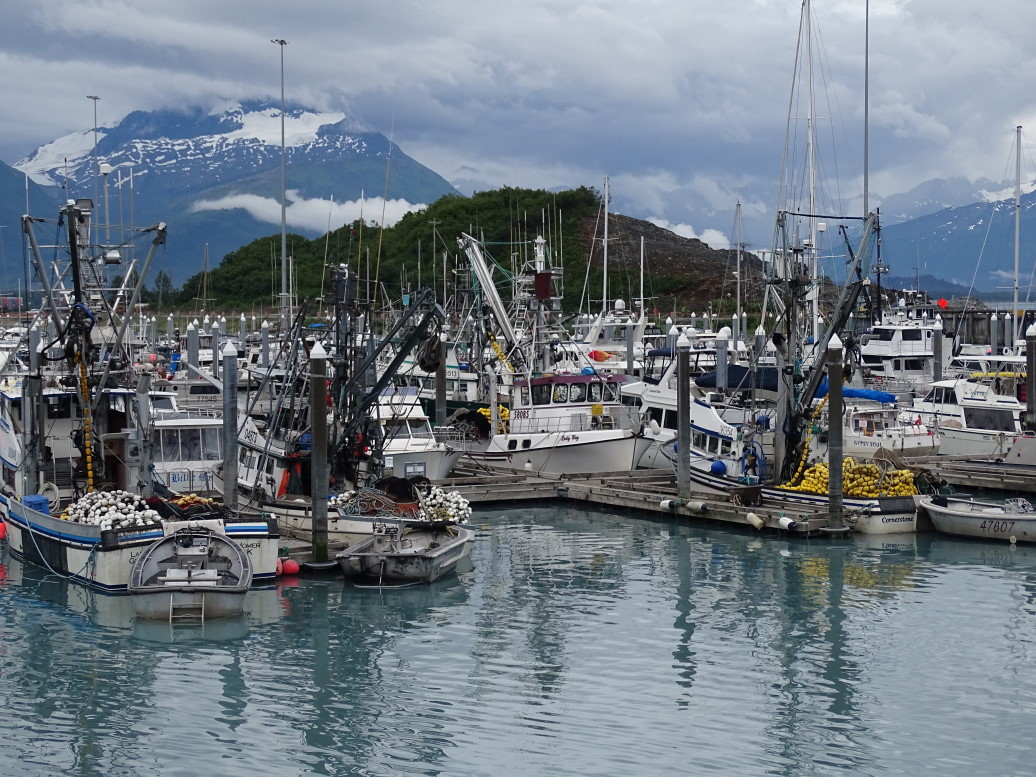
Finally the road terminates at the port of Valdez — very much a fishing town along with the terminus of the 800 mile Alaskan oil pipeline.  The harbor is stunning even in the cloudy, on again / off again sprinkles, as it is surrounded by 5000 foot peaks sporting glaciers.  The harbor itself is very milky blue as it is mostly fed by glacial water.  We decided to eat Chinese at Fu Kung Chinese Restaurant.  Addison and I had Mongolian beef, Michelle sweet and sour shrimp, and Genetta shrimp fried rice.  All was great, as were the appetizer egg drop soup and egg rolls.  Finished with desert — chocolate mousse pie and also this odd ice cream wrapped in rice something or other for Genetta.

After we finished dinner at about 9:15p we walked to the harbor to take some pictures before heading back up AK4 to our B&B.  Saw a moose along the way as well.  Arrived at the B&B at nearly 12a.  An incredibly long day (the longest of this vacation driving-wise) but also saw some incredible scenery.

Valdez's harbor is amazingly scenic

Fishing vessels in Valdez harbor

Valdez's harbor, note the white-ish color of the water due to being fed by glaciers

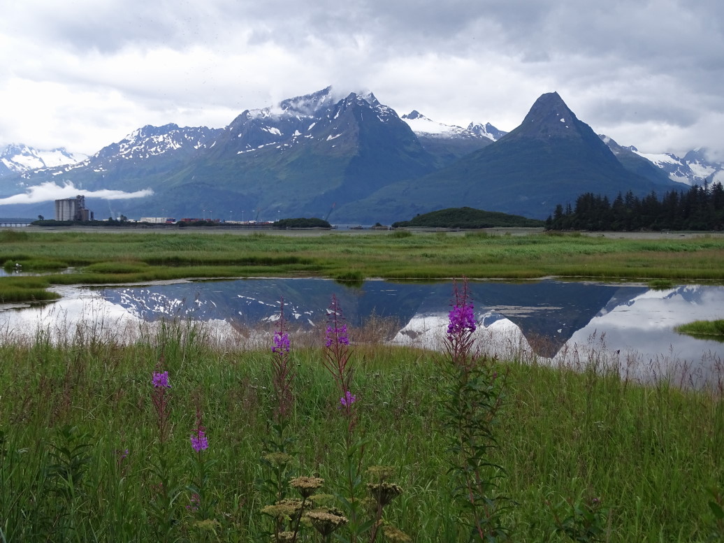
Mountains outside Valdez reflecting in the marsh

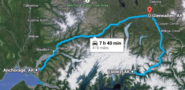
Route for Wednesday, July 15, 2015

« Newer PostsOlder Posts »

Powered by WordPress